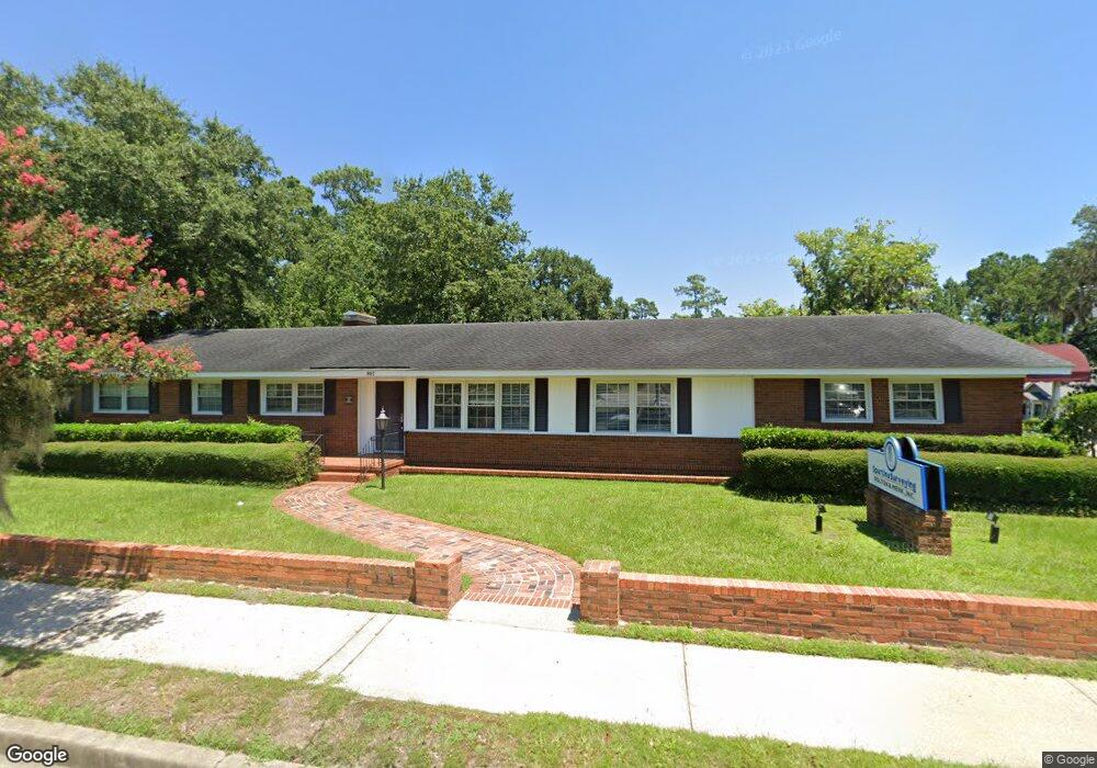
802 N Main St Conway, SC 29526
Estimated Value: $424,142
Studio
--
Bath
3,724
Sq Ft
$114/Sq Ft
Est. Value
About This Home
This home is located at 802 N Main St, Conway, SC 29526 and is currently estimated at $424,142, approximately $113 per square foot. 802 N Main St is a home located in Horry County with nearby schools including Conway Elementary School, Conway Middle School, and Conway High School.
Ownership History
Date
Name
Owned For
Owner Type
Purchase Details
Closed on
Apr 1, 2020
Sold by
Derrick Land Corp Llc
Bought by
Fairey Rentals Llc
Current Estimated Value
Home Financials for this Owner
Home Financials are based on the most recent Mortgage that was taken out on this home.
Original Mortgage
$230,000
Interest Rate
3.4%
Mortgage Type
New Conventional
Create a Home Valuation Report for This Property
The Home Valuation Report is an in-depth analysis detailing your home's value as well as a comparison with similar homes in the area
Home Values in the Area
Average Home Value in this Area
Purchase History
| Date | Buyer | Sale Price | Title Company |
|---|---|---|---|
| Fairey Rentals Llc | $275,000 | -- |
Source: Public Records
Mortgage History
| Date | Status | Borrower | Loan Amount |
|---|---|---|---|
| Closed | Fairey Rentals Llc | $230,000 |
Source: Public Records
Tax History
| Year | Tax Paid | Tax Assessment Tax Assessment Total Assessment is a certain percentage of the fair market value that is determined by local assessors to be the total taxable value of land and additions on the property. | Land | Improvement |
|---|---|---|---|---|
| 2025 | $5,028 | $0 | $0 | $0 |
| 2024 | $5,028 | $28,655 | $16,092 | $12,563 |
| 2023 | $4,976 | $16,230 | $7,458 | $8,772 |
| 2021 | $4,285 | $16,230 | $7,458 | $8,772 |
| 2020 | $3,445 | $13,518 | $6,258 | $7,260 |
| 2019 | $2,431 | $13,518 | $6,258 | $7,260 |
| 2018 | $0 | $11,938 | $3,874 | $8,064 |
| 2017 | $0 | $11,938 | $3,874 | $8,064 |
| 2016 | $0 | $11,938 | $3,874 | $8,064 |
| 2015 | -- | $6,946 | $3,874 | $8,064 |
| 2014 | $2,161 | $6,946 | $3,874 | $8,064 |
Source: Public Records
Map
Nearby Homes
- 1006 10th Ave
- 1170 Oak Meadows Dr
- 1170 Oak Meadows Dr Unit Lot 141
- 509 Beaty St
- TBD U S 501 Business
- 1325 Parkside Ct
- Hunting Swamp Rd
- Lot 1 & 2 College Park Rd Unit COLLEGE PARK
- 1305 Forest View Rd
- 1003 Winding Rd
- 708 15th Ave
- 2204 6th Ave
- 116 Kingsbury Loop Unit C
- 1105 Hickory Dr
- 1011 Hickory Cir
- 302 Jackson Ln
- 2616 Hudson Trail
- 1541 Stilley Cir
- 1517 3rd Ave
- 1520 4th Ave
Your Personal Tour Guide
Ask me questions while you tour the home.