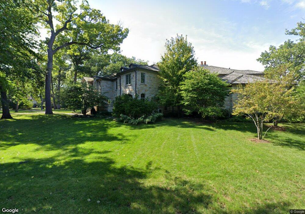
802 Normandy Ln Glenview, IL 60025
Estimated Value: $2,176,000 - $5,310,000
6
Beds
4
Baths
10,727
Sq Ft
$375/Sq Ft
Est. Value
About This Home
This home is located at 802 Normandy Ln, Glenview, IL 60025 and is currently estimated at $4,026,091, approximately $375 per square foot. 802 Normandy Ln is a home located in Cook County with nearby schools including Lyon Elementary School, Pleasant Ridge Elementary School, and Springman Middle School.
Ownership History
Date
Name
Owned For
Owner Type
Purchase Details
Closed on
Mar 19, 2007
Sold by
Carlson Donald and Carlson Mary
Bought by
Ansari Mohsinuddin and Syed Faizah
Current Estimated Value
Purchase Details
Closed on
May 24, 2001
Sold by
Carlson Mary Lindsay
Bought by
Carlson Donald A and Carlson Mary L
Home Financials for this Owner
Home Financials are based on the most recent Mortgage that was taken out on this home.
Original Mortgage
$275,000
Interest Rate
6.5%
Purchase Details
Closed on
Sep 5, 2000
Sold by
Carlson Donald A and Carlson Mary L
Bought by
Carlson Mary Lindsay
Create a Home Valuation Report for This Property
The Home Valuation Report is an in-depth analysis detailing your home's value as well as a comparison with similar homes in the area
Home Values in the Area
Average Home Value in this Area
Purchase History
| Date | Buyer | Sale Price | Title Company |
|---|---|---|---|
| Ansari Mohsinuddin | $1,525,000 | Attorneys Title Guaranty Fun | |
| Carlson Donald A | -- | -- | |
| Carlson Mary Lindsay | -- | -- |
Source: Public Records
Mortgage History
| Date | Status | Borrower | Loan Amount |
|---|---|---|---|
| Previous Owner | Carlson Donald A | $275,000 |
Source: Public Records
Tax History
| Year | Tax Paid | Tax Assessment Tax Assessment Total Assessment is a certain percentage of the fair market value that is determined by local assessors to be the total taxable value of land and additions on the property. | Land | Improvement |
|---|---|---|---|---|
| 2025 | $63,982 | $379,000 | $89,311 | $289,689 |
| 2024 | $63,982 | $289,073 | $74,426 | $214,647 |
| 2023 | $62,179 | $289,073 | $74,426 | $214,647 |
| 2022 | $62,179 | $289,073 | $74,426 | $214,647 |
| 2021 | $66,733 | $268,117 | $52,098 | $216,019 |
| 2020 | $65,942 | $268,117 | $52,098 | $216,019 |
| 2019 | $61,455 | $294,635 | $52,098 | $242,537 |
| 2018 | $63,647 | $276,737 | $44,655 | $232,082 |
| 2017 | $61,951 | $276,737 | $44,655 | $232,082 |
| 2016 | $58,538 | $276,737 | $44,655 | $232,082 |
| 2015 | $48,482 | $203,589 | $12,131 | $191,458 |
| 2014 | $47,594 | $203,589 | $12,131 | $191,458 |
| 2013 | $46,144 | $203,589 | $12,131 | $191,458 |
Source: Public Records
Map
Nearby Homes
- 846 Wagner Rd
- 800 Glenview Rd
- 809 Lenox Rd
- 1115 Golfview Ln
- 1041 Arbor Ln
- 821 Harms Rd
- 639 Harms Rd
- 1431 Meadow Ln
- 808 Indian Rd
- 1443 Hawthorne Ln
- 411 Woodland Ct
- 1437 Sunset Ridge Rd
- 1119 Longvalley Rd
- 1050 Burton Terrace
- 716 Indian Rd
- 623 Echo Ln
- 1625 Glenview Rd Unit 207
- 711 Carriage Hill Dr
- 718 Lawler Ave
- 1123 Longvalley Rd
- Lot 4 Normandy Ln
- 820 Normandy Ln
- 1100 Normandy Ln
- 801 Normandy Ln
- 754 Normandy Ln
- 789 Normandy Ln
- 741 Normandy Ln
- 1107 Normandy Ln
- 811 Normandy Ln
- 830 Normandy Ln
- 735 Normandy Ln
- 1120 Normandy Ln
- 825 Normandy Ln
- 1111 Normandy Ln
- 1111 Normandy Ln
- 1111 Wagner Rd
- 840 Normandy Ln
- 820 Eastwood Ln
- 837 Normandy Ln
- 1105 Normandy Ln
Your Personal Tour Guide
Ask me questions while you tour the home.