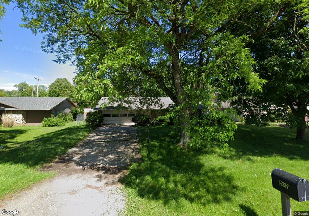
802 Reed Rd Fort Wayne, IN 46815
North Anthony NeighborhoodEstimated Value: $206,000 - $216,497
3
Beds
2
Baths
2,828
Sq Ft
$75/Sq Ft
Est. Value
About This Home
This home is located at 802 Reed Rd, Fort Wayne, IN 46815 and is currently estimated at $211,124, approximately $74 per square foot. 802 Reed Rd is a home located in Allen County with nearby schools including New Haven Primary School, New Haven Intermediate School, and New Haven High School.
Ownership History
Date
Name
Owned For
Owner Type
Purchase Details
Closed on
Jul 28, 2005
Sold by
Bird David Alan
Bought by
Burk Roy and Burk Rhonda
Current Estimated Value
Home Financials for this Owner
Home Financials are based on the most recent Mortgage that was taken out on this home.
Original Mortgage
$83,430
Outstanding Balance
$51,315
Interest Rate
8.55%
Mortgage Type
Fannie Mae Freddie Mac
Estimated Equity
$159,809
Purchase Details
Closed on
May 28, 2002
Sold by
Grote David R
Bought by
Bird David Alan
Home Financials for this Owner
Home Financials are based on the most recent Mortgage that was taken out on this home.
Original Mortgage
$88,305
Interest Rate
7%
Mortgage Type
FHA
Create a Home Valuation Report for This Property
The Home Valuation Report is an in-depth analysis detailing your home's value as well as a comparison with similar homes in the area
Home Values in the Area
Average Home Value in this Area
Purchase History
| Date | Buyer | Sale Price | Title Company |
|---|---|---|---|
| Burk Roy | -- | Strategic Title Services Of | |
| Bird David Alan | -- | -- |
Source: Public Records
Mortgage History
| Date | Status | Borrower | Loan Amount |
|---|---|---|---|
| Open | Burk Roy | $83,430 | |
| Previous Owner | Bird David Alan | $88,305 |
Source: Public Records
Tax History Compared to Growth
Tax History
| Year | Tax Paid | Tax Assessment Tax Assessment Total Assessment is a certain percentage of the fair market value that is determined by local assessors to be the total taxable value of land and additions on the property. | Land | Improvement |
|---|---|---|---|---|
| 2025 | $1,898 | $204,600 | $34,900 | $169,700 |
| 2024 | $703 | $189,800 | $15,700 | $174,100 |
| 2023 | $1,407 | $147,900 | $15,700 | $132,200 |
| 2022 | $1,460 | $146,000 | $15,700 | $130,300 |
| 2021 | $1,280 | $128,000 | $15,700 | $112,300 |
| 2020 | $1,113 | $113,800 | $15,700 | $98,100 |
| 2019 | $1,104 | $111,300 | $15,700 | $95,600 |
| 2018 | $800 | $92,700 | $15,700 | $77,000 |
| 2017 | $694 | $85,600 | $15,700 | $69,900 |
| 2016 | $550 | $78,200 | $15,700 | $62,500 |
| 2014 | $540 | $78,200 | $15,700 | $62,500 |
| 2013 | $562 | $79,500 | $15,700 | $63,800 |
Source: Public Records
Map
Nearby Homes
- 705 Caribe Blvd
- 5220 Vermont Ln
- 1706 Inwood Dr
- 5419 Forest Ave
- 1729 Lofton Way
- 4620 Dodge Ave
- 5110 Eastwick Dr
- 2818 1/2 Reed Rd
- 1304 Ardsley Ct
- 1617 Darien Dr
- 2528 E Saint Thomas Point
- 2611 Neptunes Crossing
- 2805 Buckhurst Run
- 5722 Port Royal
- 5723 Port Royal
- 6334 Bennington Dr
- 2426 White Oak Ave
- 5720 Bayside Dr
- 5526 Tunbridge Crossing
- 1930 Bremer Rd