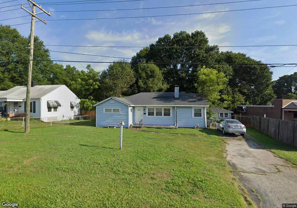
802 Rogers Lake Rd Kannapolis, NC 28081
Estimated Value: $201,000 - $245,000
2
Beds
1
Bath
1,287
Sq Ft
$171/Sq Ft
Est. Value
About This Home
This home is located at 802 Rogers Lake Rd, Kannapolis, NC 28081 and is currently estimated at $220,312, approximately $171 per square foot. 802 Rogers Lake Rd is a home located in Cabarrus County with nearby schools including Shady Brook Elementary School, Kannapolis Middle, and A.L. Brown High School.
Ownership History
Date
Name
Owned For
Owner Type
Purchase Details
Closed on
May 13, 2010
Sold by
Mcneil Carmen Demarcus and Mcneil Gregory Gordon
Bought by
Barnhardt Sherry A
Current Estimated Value
Purchase Details
Closed on
Sep 22, 2009
Sold by
Mcneil Carmen D and Mcneil Gregory G
Bought by
Demarcus Lon Mark and Demarcus Ruth B
Purchase Details
Closed on
Mar 3, 2006
Sold by
Demarcus Ernestine Price
Bought by
Mcneil Gregory Gordon and Mcneil Carmen Demarcus
Create a Home Valuation Report for This Property
The Home Valuation Report is an in-depth analysis detailing your home's value as well as a comparison with similar homes in the area
Home Values in the Area
Average Home Value in this Area
Purchase History
| Date | Buyer | Sale Price | Title Company |
|---|---|---|---|
| Barnhardt Sherry A | $83,000 | None Available | |
| Demarcus Lon Mark | -- | None Available | |
| Mcneil Gregory Gordon | $60,000 | None Available |
Source: Public Records
Tax History Compared to Growth
Tax History
| Year | Tax Paid | Tax Assessment Tax Assessment Total Assessment is a certain percentage of the fair market value that is determined by local assessors to be the total taxable value of land and additions on the property. | Land | Improvement |
|---|---|---|---|---|
| 2025 | $987 | $173,900 | $53,000 | $120,900 |
| 2024 | $1,975 | $173,900 | $53,000 | $120,900 |
| 2023 | $1,447 | $105,630 | $32,000 | $73,630 |
| 2022 | $1,447 | $105,630 | $32,000 | $73,630 |
| 2021 | $524 | $105,630 | $32,000 | $73,630 |
| 2020 | $726 | $105,630 | $32,000 | $73,630 |
| 2019 | $560 | $81,400 | $19,000 | $62,400 |
| 2018 | $552 | $81,400 | $19,000 | $62,400 |
| 2017 | $1,083 | $81,400 | $19,000 | $62,400 |
| 2016 | $1,083 | $82,580 | $20,000 | $62,580 |
| 2015 | $1,041 | $82,580 | $20,000 | $62,580 |
| 2014 | $1,041 | $82,580 | $20,000 | $62,580 |
Source: Public Records
Map
Nearby Homes
- 00 Sapp Rd
- 915 Sprucewood St
- 1003 Robinhood Ln
- 1417 Azalea Ave
- 1309 Red Birch Place
- 1418 Oakwood Ave
- 1010 Sprucewood St
- 806 Walker St
- 808 Walker St
- 1408 Nottingham Rd
- 1110 Rogers Lake Rd
- 1201 Berkshire Dr
- 1209 Derbyshire Rd
- 1441 Sherwood Dr
- 1410 Oakwood Ave
- 1200 Berkshire Dr
- 1620 Longbow Dr
- 1208 Berkshire Dr
- 828 Richard Ave
- 804 Evergreen Ave
- 804 Rogers Lake Rd
- 800 Rogers Lake Rd
- 803 Sprucewood St
- 1230 Oakwood Ave
- 1228 Oakwood Ave Unit B
- 808 Rogers Lake Rd
- 805 Sprucewood St
- 805 Sprucewood St Unit 1-4
- 1226 Oakwood Ave
- 1224 Oakwood Ave
- 1222 Oakwood Ave
- 1220 Oakwood Ave
- 1219 Oakwood Ave
- 809 Sprucewood St
- 810 Rogers Lake Rd
- 1216 Oakwood Ave
- 1303 Oakwood Ave
- 802 Sprucewood St
- 1305 Oakwood Ave
- 804 Sprucewood St