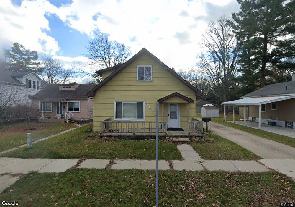
802 Sanborn St Port Huron, MI 48060
Estimated Value: $215,000 - $253,000
3
Beds
3
Baths
2,000
Sq Ft
$114/Sq Ft
Est. Value
About This Home
This home is located at 802 Sanborn St, Port Huron, MI 48060 and is currently estimated at $227,678, approximately $113 per square foot. 802 Sanborn St is a home located in St. Clair County with nearby schools including Garfield Elementary School, Holland Woods Middle School, and Port Huron Northern High School.
Ownership History
Date
Name
Owned For
Owner Type
Purchase Details
Closed on
Apr 28, 2014
Sold by
Stocker Michael J and Stocker Celeste A
Bought by
Richards Heidi S
Current Estimated Value
Purchase Details
Closed on
Feb 22, 2013
Sold by
Stocker Michael J and Stocker Celeste A
Bought by
Sanborn Llc
Create a Home Valuation Report for This Property
The Home Valuation Report is an in-depth analysis detailing your home's value as well as a comparison with similar homes in the area
Home Values in the Area
Average Home Value in this Area
Purchase History
| Date | Buyer | Sale Price | Title Company |
|---|---|---|---|
| Richards Heidi S | $40,000 | None Available | |
| Stocker Michael J | -- | None Available | |
| Sanborn Llc | -- | None Available |
Source: Public Records
Tax History
| Year | Tax Paid | Tax Assessment Tax Assessment Total Assessment is a certain percentage of the fair market value that is determined by local assessors to be the total taxable value of land and additions on the property. | Land | Improvement |
|---|---|---|---|---|
| 2025 | $2,938 | $97,800 | $0 | $0 |
| 2024 | $2,861 | $88,700 | $0 | $0 |
| 2023 | $2,709 | $78,600 | $0 | $0 |
| 2022 | $2,770 | $63,800 | $0 | $0 |
| 2020 | $2,655 | $54,500 | $54,500 | $0 |
| 2019 | $2,607 | $47,700 | $0 | $0 |
| 2018 | $2,548 | $47,700 | $0 | $0 |
| 2017 | $2,338 | $43,400 | $0 | $0 |
| 2016 | $2,090 | $43,400 | $0 | $0 |
| 2015 | $1,904 | $38,700 | $38,700 | $0 |
| 2014 | $1,904 | $36,000 | $36,000 | $0 |
| 2013 | -- | $34,800 | $0 | $0 |
Source: Public Records
Map
Nearby Homes
- 817 Florida Ave
- 1020 Sanborn St
- 3455 Gratiot Ave
- 3142 Wright St
- 810 Holland Ave Unit 8
- 3165 10th Ave
- 2915 10th Ave
- 2846 Cooper Ave
- 2915 Linda Ct
- 1813 N Woodland Dr
- 1828 Kennelworth Dr
- 910 Church St
- 2431 Armour St
- 2400 Stone St Unit 2414
- 3316 Hickory Ln
- 3444 Riverside Dr
- 2835 17th Ave
- 2224 Garfield St
- 2215 Hancock St
- 2008 Elmwood St
- 806 Sanborn St
- 724 Sanborn St
- 812 Sanborn St
- 805 Sanborn St
- 720 Sanborn St
- 3303 Cherry St
- 718 Sanborn St
- 813 Sanborn St
- 721 Sanborn St
- 814 Sanborn St
- 821 Sanborn St
- 816 Sanborn St
- 3311 Cherry St
- 3303 Gratiot Ave
- 3227 Gratiot Ave
- 3219 Gratiot Ave
- 3312 Cherry St
- 820 Sanborn St
- 3318 Cherry St
- 3315 Cherry St
Your Personal Tour Guide
Ask me questions while you tour the home.