Studio
--
Bath
1,650
Sq Ft
28,750
Sq Ft Lot
About This Home
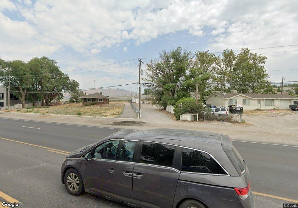
This home is located at 802 W State St, Lehi, UT 84043. 802 W State St is a home located in Utah County with nearby schools including Lehi Elementary School, Lehi Junior High School, and Lehi High School.
Ownership History
Date
Name
Owned For
Owner Type
Purchase Details
Closed on
Jan 8, 2020
Sold by
All Star Properties Llc
Bought by
Utah Department Of Transportation
Purchase Details
Closed on
Apr 11, 2011
Sold by
Garn Randall L
Bought by
All Star Properties Llc
Home Financials for this Owner
Home Financials are based on the most recent Mortgage that was taken out on this home.
Original Mortgage
$120,000
Interest Rate
4.83%
Mortgage Type
Commercial
Purchase Details
Closed on
Feb 3, 2011
Sold by
Better By The Yard Inc
Bought by
Garn Randall L
Purchase Details
Closed on
Dec 29, 2005
Sold by
Colledge Brent J and Colledge Myra Jo
Bought by
Better By The Yard Inc
Home Financials for this Owner
Home Financials are based on the most recent Mortgage that was taken out on this home.
Original Mortgage
$205,600
Interest Rate
6.36%
Mortgage Type
Purchase Money Mortgage
Create a Home Valuation Report for This Property
The Home Valuation Report is an in-depth analysis detailing your home's value as well as a comparison with similar homes in the area
Home Values in the Area
Average Home Value in this Area
Purchase History
| Date | Buyer | Sale Price | Title Company |
|---|---|---|---|
| Utah Department Of Transportation | -- | None Available | |
| All Star Properties Llc | -- | Provo Land Title Company | |
| Garn Randall L | -- | Provo Land Title Company | |
| Better By The Yard Inc | -- | Quality Title |
Source: Public Records
Mortgage History
| Date | Status | Borrower | Loan Amount |
|---|---|---|---|
| Previous Owner | All Star Properties Llc | $120,000 | |
| Previous Owner | Better By The Yard Inc | $205,600 |
Source: Public Records
Tax History
| Year | Tax Paid | Tax Assessment Tax Assessment Total Assessment is a certain percentage of the fair market value that is determined by local assessors to be the total taxable value of land and additions on the property. | Land | Improvement |
|---|---|---|---|---|
| 2020 | $5,319 | $538,500 | $447,200 | $91,300 |
| 2019 | $5,116 | $538,500 | $484,800 | $53,700 |
| 2018 | $3,984 | $396,400 | $342,700 | $53,700 |
| 2017 | $4,016 | $386,300 | $0 | $0 |
| 2016 | $3,400 | $303,400 | $0 | $0 |
| 2015 | $4,135 | $350,300 | $0 | $0 |
| 2014 | $4,058 | $341,700 | $0 | $0 |
Source: Public Records
Map
Nearby Homes
- 1940 N 900 W
- 495 W 1850 N
- 1301 N 900 W Unit 12
- 1272 W 1800 N
- 755 W 2180 N
- 361 W 1560 N
- 356 W 1850 N Unit 6
- 1127 W State St
- 1332 W 1500 N
- 497 W 2200 N
- 516 W 2280 N
- 548 W 2325 N
- 2139 N Banbury Ct
- 1423 W 1220 North St Unit 214
- 230 W State St
- 1150 N 200 W Unit 6
- 1329 N 100 E Unit 21
- 442 W 2540 N
- 155 W State St Unit TRLR 3
- 2600 N 1200 W Unit 6
- 830 W State St
- 816 W State St
- 850 W State St
- 812 W State St
- 1817 W Bad Rock Cir Unit 100303
- 1783 W Bad Rock Cir
- 1788 W Bad Rock Cir Unit 306
- 1783 W Bad Rock Cir Unit 301
- 1817 W Bad Rock Cir Unit 303
- 810 W State St
- 870 W State St
- 4126 W State St
- 750 W State St
- 1923 W Pointe Loop
- 894 W State St
- 1605 N State St
- 1775 N Railroad St
- 1657 N State St
- 2487 W Churchhill Loop Unit 19
- 2487 W Churchhill Loop
Your Personal Tour Guide
Ask me questions while you tour the home.