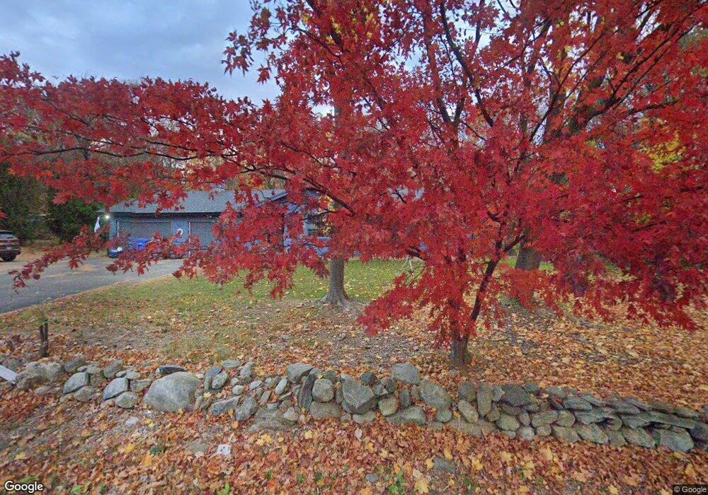
802 Wolcott St Bristol, CT 06010
South Bristol NeighborhoodEstimated Value: $396,265 - $463,000
3
Beds
3
Baths
1,868
Sq Ft
$234/Sq Ft
Est. Value
About This Home
This home is located at 802 Wolcott St, Bristol, CT 06010 and is currently estimated at $437,316, approximately $234 per square foot. 802 Wolcott St is a home located in Hartford County with nearby schools including Chippens Hill Middle School, Bristol Central High School, and Immanuel Lutheran School.
Ownership History
Date
Name
Owned For
Owner Type
Purchase Details
Closed on
Oct 10, 1996
Sold by
Laviero Richard A and Laviero Beverly Ann
Bought by
Hollis Norman L and Hollis Beverly A
Current Estimated Value
Create a Home Valuation Report for This Property
The Home Valuation Report is an in-depth analysis detailing your home's value as well as a comparison with similar homes in the area
Home Values in the Area
Average Home Value in this Area
Purchase History
| Date | Buyer | Sale Price | Title Company |
|---|---|---|---|
| Hollis Norman L | $150,000 | -- |
Source: Public Records
Mortgage History
| Date | Status | Borrower | Loan Amount |
|---|---|---|---|
| Open | Hollis Norman L | $50,000 | |
| Open | Hollis Norman L | $115,000 | |
| Closed | Hollis Norman L | $50,000 | |
| Closed | Hollis Norman L | $123,350 |
Source: Public Records
Tax History Compared to Growth
Tax History
| Year | Tax Paid | Tax Assessment Tax Assessment Total Assessment is a certain percentage of the fair market value that is determined by local assessors to be the total taxable value of land and additions on the property. | Land | Improvement |
|---|---|---|---|---|
| 2025 | $6,908 | $204,670 | $41,220 | $163,450 |
| 2024 | $6,519 | $204,670 | $41,220 | $163,450 |
| 2023 | $6,212 | $204,670 | $41,220 | $163,450 |
| 2022 | $5,371 | $140,060 | $29,060 | $111,000 |
| 2021 | $5,371 | $140,060 | $29,060 | $111,000 |
| 2020 | $5,371 | $140,060 | $29,060 | $111,000 |
| 2019 | $5,329 | $140,060 | $29,040 | $111,020 |
| 2018 | $5,165 | $140,060 | $29,040 | $111,020 |
| 2017 | $5,148 | $142,880 | $41,520 | $101,360 |
| 2016 | $5,148 | $142,880 | $41,520 | $101,360 |
| 2015 | $4,945 | $142,880 | $41,520 | $101,360 |
| 2014 | $4,945 | $142,880 | $41,520 | $101,360 |
Source: Public Records
Map
Nearby Homes
- 108 Fall Mountain Rd
- 489 Wolcott St Unit 82
- 355 Fall Mountain Rd
- 156 Corbin Ridge
- 202 Newell Ave
- 145 Corbin Ridge
- 212 Rockwell Ave
- 123 Corbin Ridge
- 140 Corbin Ridge
- 51 Brookview Cir Unit 51
- 46 Cherry St
- 101 Corbin Ridge
- 176 Rockwell Ave
- 28 Brookview Cir Unit 28
- 91 Tower Rd
- 88 Magnolia Ave
- 510 Allentown Rd
- 71 View St
- 66 Mattatuck Rd
- 306 Divinity St
- 810 Wolcott St
- 815 Wolcott St
- 803 Wolcott St
- 830 Wolcott St
- 789 Wolcott St
- 829 Wolcott St
- 840 Wolcott St
- 2 Fall Mountain Rd
- 0 Witches Rock Rd Unit L136363
- 0 Witches Rock Rd Unit W1071438
- 0 Witches Rock Rd Unit W1077684
- 00 Witches Rock Rd
- 0 Witches Rock Rd
- 000 Witches Rock Rd
- 0 Witches Rock Rd Unit 170281866
- 0 Witches Rock Rd Unit 170208496
- 10 Witches Rock Rd
- 15 Witches Rock Rd
- 21 Fall Mountain Rd
- 8 Allentown Rd