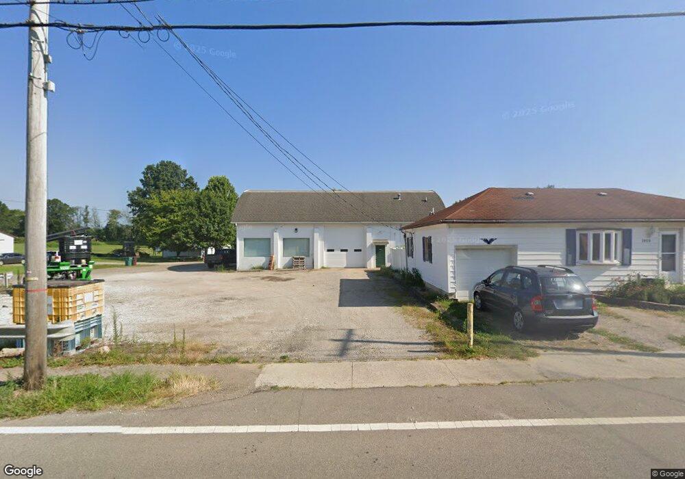
8020 Maple St Thurston, OH 43157
Studio
--
Bath
3,912
Sq Ft
5,227
Sq Ft Lot
About This Home
This home is located at 8020 Maple St, Thurston, OH 43157. 8020 Maple St is a home located in Fairfield County with nearby schools including Liberty Union Elementary School, Liberty Union Middle School, and Liberty Union High School.
Ownership History
Date
Name
Owned For
Owner Type
Purchase Details
Closed on
Apr 5, 2022
Sold by
Parrott William L
Bought by
Ryan M Clum
Home Financials for this Owner
Home Financials are based on the most recent Mortgage that was taken out on this home.
Original Mortgage
$165,000
Outstanding Balance
$152,995
Interest Rate
3.89%
Mortgage Type
New Conventional
Purchase Details
Closed on
Feb 5, 2019
Sold by
Parrott William L and Parrott Rebecca K
Bought by
Parrott William L and Parrott Rebecca K
Purchase Details
Closed on
Jul 24, 1992
Bought by
Parrott William L
Create a Home Valuation Report for This Property
The Home Valuation Report is an in-depth analysis detailing your home's value as well as a comparison with similar homes in the area
Home Values in the Area
Average Home Value in this Area
Purchase History
| Date | Buyer | Sale Price | Title Company |
|---|---|---|---|
| Ryan M Clum | $165,000 | -- | |
| Clum Ryan M | -- | None Listed On Document | |
| Parrott William L | -- | None Available | |
| Parrott William L | $58,000 | -- |
Source: Public Records
Mortgage History
| Date | Status | Borrower | Loan Amount |
|---|---|---|---|
| Open | Clum Ryan M | $165,000 | |
| Closed | Ryan M Clum | -- |
Source: Public Records
Tax History
| Year | Tax Paid | Tax Assessment Tax Assessment Total Assessment is a certain percentage of the fair market value that is determined by local assessors to be the total taxable value of land and additions on the property. | Land | Improvement |
|---|---|---|---|---|
| 2025 | $1,777 | $42,840 | $10,340 | $32,500 |
| 2024 | $1,777 | $26,360 | $5,610 | $20,750 |
| 2023 | $1,305 | $26,360 | $5,610 | $20,750 |
| 2022 | $1,295 | $26,360 | $5,610 | $20,750 |
| 2021 | $1,283 | $25,480 | $4,730 | $20,750 |
| 2020 | $1,317 | $25,480 | $4,730 | $20,750 |
| 2019 | $1,346 | $25,480 | $4,730 | $20,750 |
| 2018 | $1,361 | $25,480 | $4,730 | $20,750 |
| 2017 | $1,363 | $25,220 | $4,470 | $20,750 |
| 2016 | $1,327 | $25,220 | $4,470 | $20,750 |
| 2015 | $1,249 | $23,730 | $2,980 | $20,750 |
| 2014 | $1,202 | $23,730 | $2,980 | $20,750 |
| 2013 | $1,202 | $23,730 | $2,980 | $20,750 |
Source: Public Records
Map
Nearby Homes
- 2500 Main St
- 0 Baltimore Somerset Rd NE
- 2725 Baltimore Somerset Rd NE
- 2985 Baltimore Somerset Rd NE
- 8011 Ruffner Rd NE
- 0 Lancaster-Newark Rd NE Unit Lot A
- 0 Lancaster-Newark Rd NE
- 6781 Thoreau Ln NE
- 570 Baltimore Somerset Rd NE Unit Lot 1
- 9915 Lancaster-Newark Rd NE
- 301 N Main St
- 220 N Wagner Ave
- 207 N Main St
- 111 W Columbus St
- 112 W Walnut St
- 113 Pearl St
- 0 Lake Rd NE
- 10159 Lake Rd NE
- 211 N Main St
- 216 E Mulberry St
Your Personal Tour Guide
Ask me questions while you tour the home.