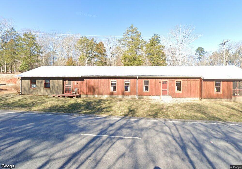
8021 Highway 72 E Carlton, GA 30627
Estimated Value: $79,000 - $148,000
--
Bed
--
Bath
958
Sq Ft
$107/Sq Ft
Est. Value
About This Home
This home is located at 8021 Highway 72 E, Carlton, GA 30627 and is currently estimated at $102,889, approximately $107 per square foot. 8021 Highway 72 E is a home with nearby schools including Madison County High School.
Ownership History
Date
Name
Owned For
Owner Type
Purchase Details
Closed on
Apr 3, 2018
Sold by
Reynolds Aaron B
Bought by
Blackburn Jerry A and Blackburn Sheila
Current Estimated Value
Purchase Details
Closed on
May 12, 2004
Sold by
Goss Ronald Mark and Goss A
Bought by
Reynolds Aaron Brock
Purchase Details
Closed on
Oct 4, 2001
Sold by
Webb Royce M
Bought by
Goss Ronald Mark and Goss A
Purchase Details
Closed on
Jan 1, 1991
Bought by
Webb Royce M
Create a Home Valuation Report for This Property
The Home Valuation Report is an in-depth analysis detailing your home's value as well as a comparison with similar homes in the area
Home Values in the Area
Average Home Value in this Area
Purchase History
| Date | Buyer | Sale Price | Title Company |
|---|---|---|---|
| Blackburn Jerry A | $33,000 | -- | |
| Reynolds Aaron Brock | -- | -- | |
| Goss Ronald Mark | $20,000 | -- | |
| Webb Royce M | -- | -- |
Source: Public Records
Tax History Compared to Growth
Tax History
| Year | Tax Paid | Tax Assessment Tax Assessment Total Assessment is a certain percentage of the fair market value that is determined by local assessors to be the total taxable value of land and additions on the property. | Land | Improvement |
|---|---|---|---|---|
| 2025 | $376 | $24,804 | $15,548 | $9,256 |
| 2024 | $380 | $24,583 | $15,548 | $9,035 |
| 2023 | $658 | $21,552 | $12,957 | $8,595 |
| 2022 | $187 | $16,782 | $8,907 | $7,875 |
| 2021 | $165 | $15,396 | $8,907 | $6,489 |
| 2020 | $126 | $14,101 | $7,612 | $6,489 |
| 2019 | $125 | $14,010 | $7,612 | $6,398 |
| 2018 | $413 | $13,244 | $6,964 | $6,280 |
| 2017 | $372 | $12,929 | $6,478 | $6,451 |
| 2016 | $353 | $12,289 | $6,478 | $5,811 |
| 2015 | $353 | $12,289 | $6,478 | $5,811 |
| 2014 | $321 | $11,108 | $5,297 | $5,811 |
| 2013 | -- | $11,108 | $5,297 | $5,811 |
Source: Public Records
Map
Nearby Homes
- 0 Broad River Rd Unit 10650042
- 376 Paoli Rd
- 667 Paoli Rd
- 00 River Rd
- 6476 Georgia 72
- 6367 Highway 72 E
- 1163 Nickville Rd
- 0 Berkley Rd Unit 10545423
- 0 River Rd Unit 10639917
- 724 Bertha Willis Rd
- 730 Osley Mill Rd
- 670 S Railroad Ave
- 88 S Railroad Ave
- 0 Stinchcomb Rd Unit 9 10587637
- 0 Stinchcomb Rd Unit 7635449
- 3614 Georgia 72
- 2087 Athens Hwy
- 0 Athens Hwy Unit 10627639
- 3334 Cherokee Rd
- 1255 Seymour Rd
- 7936 Highway 72 E
- 7822 Hwy 72e
- 7655 Highway 72 E
- 7822 Highway 72 E
- 7761 Highway 72 E
- 7655 Hwy 72e
- 305 Broad River Rd
- 8469 Highway 72 E
- 364 Broad River Rd
- 56 White Oak Trail
- 145 Broad River Rd
- 1064 Broad River Rd
- Lot 13 Broad River Rd
- 691 Broad River Rd
- 168 Elm Rd
- 3 River Rd
- 4 River Rd
- 92 White Oak Trail
- 0 White Oak Trail Unit CM945554
- 0 White Oak Trail Unit 10190374