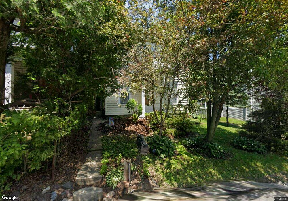
8027 Kings Hwy New Tripoli, PA 18066
Estimated Value: $176,712 - $325,000
4
Beds
1
Bath
960
Sq Ft
$272/Sq Ft
Est. Value
About This Home
This home is located at 8027 Kings Hwy, New Tripoli, PA 18066 and is currently estimated at $260,678, approximately $271 per square foot. 8027 Kings Hwy is a home located in Lehigh County with nearby schools including Northwestern Lehigh High School.
Ownership History
Date
Name
Owned For
Owner Type
Purchase Details
Closed on
Jul 22, 2002
Sold by
Hand Michael R and Gordon Hand Jennifer
Bought by
Schaffer Michael J H and Schaffer Korey L
Current Estimated Value
Home Financials for this Owner
Home Financials are based on the most recent Mortgage that was taken out on this home.
Original Mortgage
$86,782
Outstanding Balance
$36,841
Interest Rate
6.73%
Mortgage Type
FHA
Estimated Equity
$223,837
Purchase Details
Closed on
Apr 28, 1997
Sold by
Gangaware Glenn
Bought by
Hand Michael R and Hand Jennifer G
Purchase Details
Closed on
Jan 27, 1997
Sold by
Oswald Beulah S Est
Bought by
Gangaware Glenn
Create a Home Valuation Report for This Property
The Home Valuation Report is an in-depth analysis detailing your home's value as well as a comparison with similar homes in the area
Home Values in the Area
Average Home Value in this Area
Purchase History
| Date | Buyer | Sale Price | Title Company |
|---|---|---|---|
| Schaffer Michael J H | $87,500 | Ticor Title Insurance Compan | |
| Hand Michael R | $80,700 | -- | |
| Gangaware Glenn | $21,000 | -- |
Source: Public Records
Mortgage History
| Date | Status | Borrower | Loan Amount |
|---|---|---|---|
| Open | Schaffer Michael J H | $86,782 |
Source: Public Records
Tax History Compared to Growth
Tax History
| Year | Tax Paid | Tax Assessment Tax Assessment Total Assessment is a certain percentage of the fair market value that is determined by local assessors to be the total taxable value of land and additions on the property. | Land | Improvement |
|---|---|---|---|---|
| 2025 | $1,710 | $71,000 | $20,900 | $50,100 |
| 2024 | $1,638 | $71,000 | $20,900 | $50,100 |
| 2023 | $1,585 | $71,000 | $20,900 | $50,100 |
| 2022 | $1,542 | $71,000 | $50,100 | $20,900 |
| 2021 | $1,505 | $71,000 | $20,900 | $50,100 |
| 2020 | $1,462 | $71,000 | $20,900 | $50,100 |
| 2019 | $1,426 | $71,000 | $20,900 | $50,100 |
| 2018 | $1,406 | $71,000 | $20,900 | $50,100 |
| 2017 | $1,406 | $71,000 | $20,900 | $50,100 |
| 2016 | -- | $71,000 | $20,900 | $50,100 |
| 2015 | -- | $71,000 | $20,900 | $50,100 |
| 2014 | -- | $71,000 | $20,900 | $50,100 |
Source: Public Records
Map
Nearby Homes
- 7056 Behler Rd
- 7866 Brobst Hill Rd
- 7573 Springhouse Rd
- 8165 Weavers Ct
- 7509 Borman Rd
- 7893 Leaser Rd
- 7282 Decatur St
- 6689 Jefferson Ct
- 7462 Camp Meeting Rd
- 599 Blue Mountain Dr
- 7111 Flint Hill Rd
- 147 Scout Rd
- 0 Poplar Dr Unit PM-135456
- 0 Poplar Dr Unit 763341
- 507 Whitetail Cir
- 6341 Memorial Rd
- 1117 Hawk Mountain Rd
- 6786 Flint Hill Rd
- 333 New Bethel Church Rd
- 72 Angel Dr