Estimated Value: $128,000 - $167,000
Studio
1
Bath
1,536
Sq Ft
$94/Sq Ft
Est. Value
About This Home
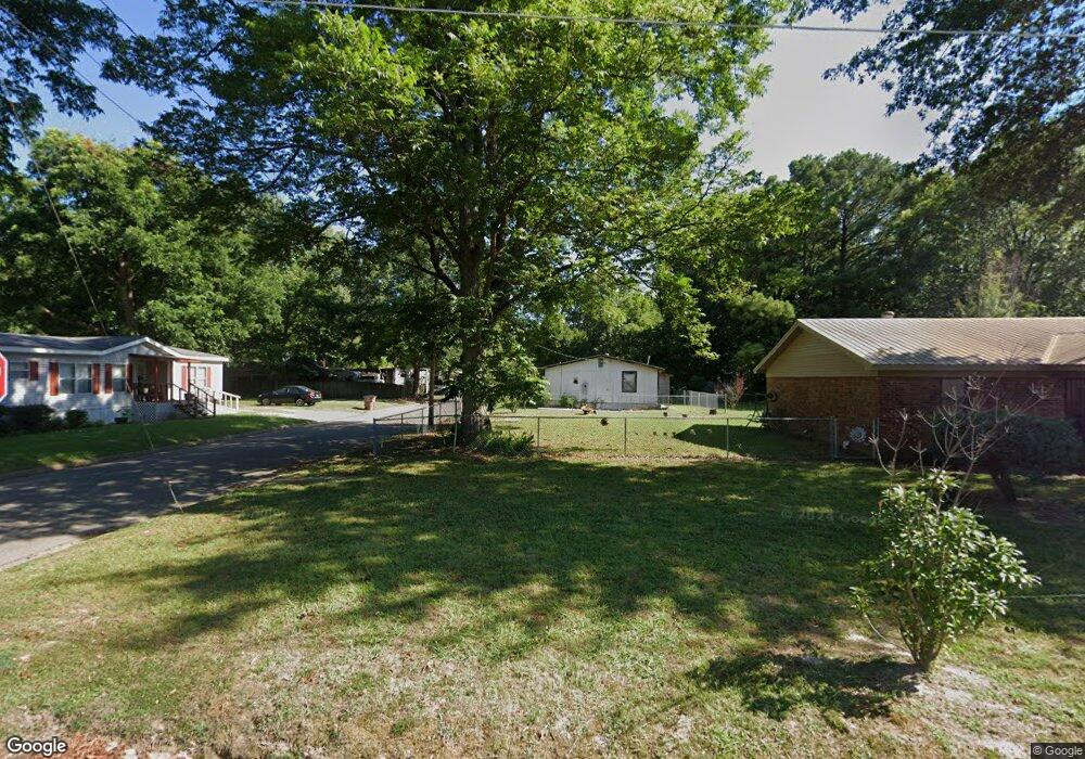
This home is located at 803 Forrest Ave E, Wynne, AR 72396 and is currently estimated at $144,081, approximately $93 per square foot. 803 Forrest Ave E is a home located in Cross County with nearby schools including Wynne Primary School, Wynne Intermediate School, and Wynne Junior High School.
Ownership History
Date
Name
Owned For
Owner Type
Purchase Details
Closed on
Jul 14, 2015
Sold by
Blake John G and Blake Nancy M
Bought by
Marrs Tabita
Current Estimated Value
Home Financials for this Owner
Home Financials are based on the most recent Mortgage that was taken out on this home.
Original Mortgage
$87,755
Outstanding Balance
$68,546
Interest Rate
4.07%
Mortgage Type
New Conventional
Estimated Equity
$75,535
Purchase Details
Closed on
Jan 23, 1998
Bought by
Blake John G and Blake Nancy M
Purchase Details
Closed on
Oct 14, 1992
Bought by
Curtner Michael and Curtner Eileen F
Create a Home Valuation Report for This Property
The Home Valuation Report is an in-depth analysis detailing your home's value as well as a comparison with similar homes in the area
Purchase History
| Date | Buyer | Sale Price | Title Company |
|---|---|---|---|
| Marrs Tabita | $86,000 | -- | |
| Blake John G | $75,000 | -- | |
| Curtner Michael | -- | -- |
Source: Public Records
Mortgage History
| Date | Status | Borrower | Loan Amount |
|---|---|---|---|
| Open | Marrs Tabita | $87,755 |
Source: Public Records
Tax History
| Year | Tax Paid | Tax Assessment Tax Assessment Total Assessment is a certain percentage of the fair market value that is determined by local assessors to be the total taxable value of land and additions on the property. | Land | Improvement |
|---|---|---|---|---|
| 2025 | $337 | $28,620 | $3,820 | $24,800 |
| 2024 | $394 | $18,070 | $3,330 | $14,740 |
| 2023 | $453 | $17,740 | $3,330 | $14,410 |
| 2022 | $503 | $17,740 | $3,330 | $14,410 |
| 2021 | $502 | $17,740 | $3,330 | $14,410 |
| 2020 | $462 | $17,740 | $3,330 | $14,410 |
| 2019 | $422 | $16,100 | $3,020 | $13,080 |
| 2018 | $447 | $16,100 | $3,020 | $13,080 |
| 2017 | $447 | $16,100 | $3,020 | $13,080 |
| 2016 | $447 | $16,100 | $3,020 | $13,080 |
| 2015 | $447 | $16,100 | $3,020 | $13,080 |
| 2014 | $417 | $15,500 | $2,750 | $12,750 |
Source: Public Records
Map
Nearby Homes
- 809 Forrest Ave E
- 802 Poplar Ave E
- 8 Acres Arkansas 1
- 621 Lemons St N
- 813 Hamilton Ave E
- 817 Harrell St N
- 109 Nathan Dr E
- 108 Nathan Dr E
- 810 Union Ave E
- 1106 Marion Dr
- 226 Nathan Dr E
- 1112 Poplar Ave E
- 53 Cr 341
- 1203 Marion Dr
- 1206 Forrest Ave E
- 903 Levesque Ave E
- 405 N Wilson St
- 815 Canal Ave E
- 909 Killough Rd N
- 0 Merriman Unit 25043004
- 803 Forrest Ave W
- 811 Forrest Ave E
- 802 Forrest Ave E
- 810 E Forrest Ave
- 812 Poplar Ave E
- 812 Forrest Ave E
- 814 Poplar Ave E
- 814 Forrest Ave E
- 710 Poplar Ave E
- 900 Poplar Ave E
- 708 Poplar Ave E
- 902 Forrest Ave W
- 902 Forrest Ave E
- 613 Bruce St N
- 811 Poplar Ave E
- 903 Forrest Ave E
- 904 Poplar Ave E
- 0 Poplar Unit 16023215
- 813 E Poplar Ave
- 817 Poplar Ave E
Your Personal Tour Guide
Ask me questions while you tour the home.