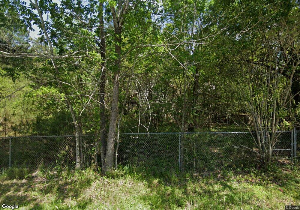
803 Indian Fork Rd Chapin, SC 29036
Estimated Value: $68,000 - $128,000
2
Beds
1
Bath
1,383
Sq Ft
$70/Sq Ft
Est. Value
About This Home
This home is located at 803 Indian Fork Rd, Chapin, SC 29036 and is currently estimated at $97,367, approximately $70 per square foot. 803 Indian Fork Rd is a home located in Lexington County with nearby schools including Lake Murray Elementary School, Chapin Intermediate, and Chapin High School.
Ownership History
Date
Name
Owned For
Owner Type
Purchase Details
Closed on
Apr 11, 2024
Sold by
Derrick Family Living Trust and Derrick Bennie A
Bought by
Murphy Kenneth and Murphy Rebecca
Current Estimated Value
Purchase Details
Closed on
Jan 30, 2023
Sold by
Derrick Bennie A
Bought by
Derrick Family Living Trust
Purchase Details
Closed on
Mar 12, 2007
Sold by
Derrick Bennie A
Bought by
Burkhalter Mark A and Burkhalter Tracy G
Purchase Details
Closed on
Dec 22, 2006
Sold by
Derrick Bennie A
Bought by
Trademark Homes Llc
Purchase Details
Closed on
Jul 20, 2006
Sold by
Derrick Bennie A
Bought by
Mcmeekin William C and Mcmeekin Kathy N
Purchase Details
Closed on
Jan 26, 2006
Sold by
Derrick Bennie A
Bought by
Morris R Stan and Morris Deborah R
Create a Home Valuation Report for This Property
The Home Valuation Report is an in-depth analysis detailing your home's value as well as a comparison with similar homes in the area
Home Values in the Area
Average Home Value in this Area
Purchase History
| Date | Buyer | Sale Price | Title Company |
|---|---|---|---|
| Murphy Kenneth | $70,000 | None Listed On Document | |
| Derrick Family Living Trust | -- | -- | |
| Burkhalter Mark A | $40,000 | None Available | |
| Trademark Homes Llc | $47,200 | None Available | |
| Mcmeekin William C | $80,000 | None Available | |
| Morris R Stan | $35,000 | None Available |
Source: Public Records
Tax History Compared to Growth
Tax History
| Year | Tax Paid | Tax Assessment Tax Assessment Total Assessment is a certain percentage of the fair market value that is determined by local assessors to be the total taxable value of land and additions on the property. | Land | Improvement |
|---|---|---|---|---|
| 2024 | $2,496 | $3,436 | $3,196 | $240 |
| 2023 | $1,490 | $3,436 | $3,196 | $240 |
| 2022 | $1,419 | $3,436 | $3,196 | $240 |
| 2020 | $1,444 | $3,436 | $3,196 | $240 |
| 2019 | $1,295 | $2,988 | $2,640 | $348 |
| 2018 | $1,235 | $2,988 | $2,640 | $348 |
| 2017 | $1,225 | $2,988 | $2,640 | $348 |
| 2016 | $1,216 | $2,988 | $2,640 | $348 |
| 2014 | $1,041 | $2,666 | $2,365 | $301 |
| 2013 | -- | $2,670 | $2,370 | $300 |
Source: Public Records
Map
Nearby Homes
- 24 Clay Ct
- 129 Forest Bickley Rd
- 304 Racket Rd
- 306 Dolly Horn Ln
- 138 Sunsation Dr
- 435 Whits End
- 110 Lake Hilton Dr
- 2515 Wessinger Rd
- 2544 Wessinger Rd
- 311 Pebblebranch Dr
- 275 Hilton Village Dr
- 239 Pebblebranch Dr
- 308 Grannys Cut Way
- 630 Basalt Ct
- The Bancroft Plan at Chapin Place
- 2207 Wessinger Rd
- 403 Rising Stream Way
- 387 Rising Stream Way
- 366 Rising Stream Way
- 362 Rising Stream Way
- 2216 Island Trail
- 811 Indian Fork Rd
- 2190 Island Trail
- 2224 Island Trail
- 806 Indian Fork Rd
- 2220 Island Trail
- 2185 Island Trail
- 825 Indian Fork Rd
- 2228 Island Trail
- 342 Forty Love Point
- 350 Forty Love Point
- 346 Forty Love Point
- 116 Old Sawmill Trail
- 338 Forty Love Point
- 828 Indian Fork Rd
- 334 Forty Love Point
- 829 Indian Fork Rd
- 114 Old Sawmill Trail
- 2160 Island Trail
- 112 Old Sawmill Trail
