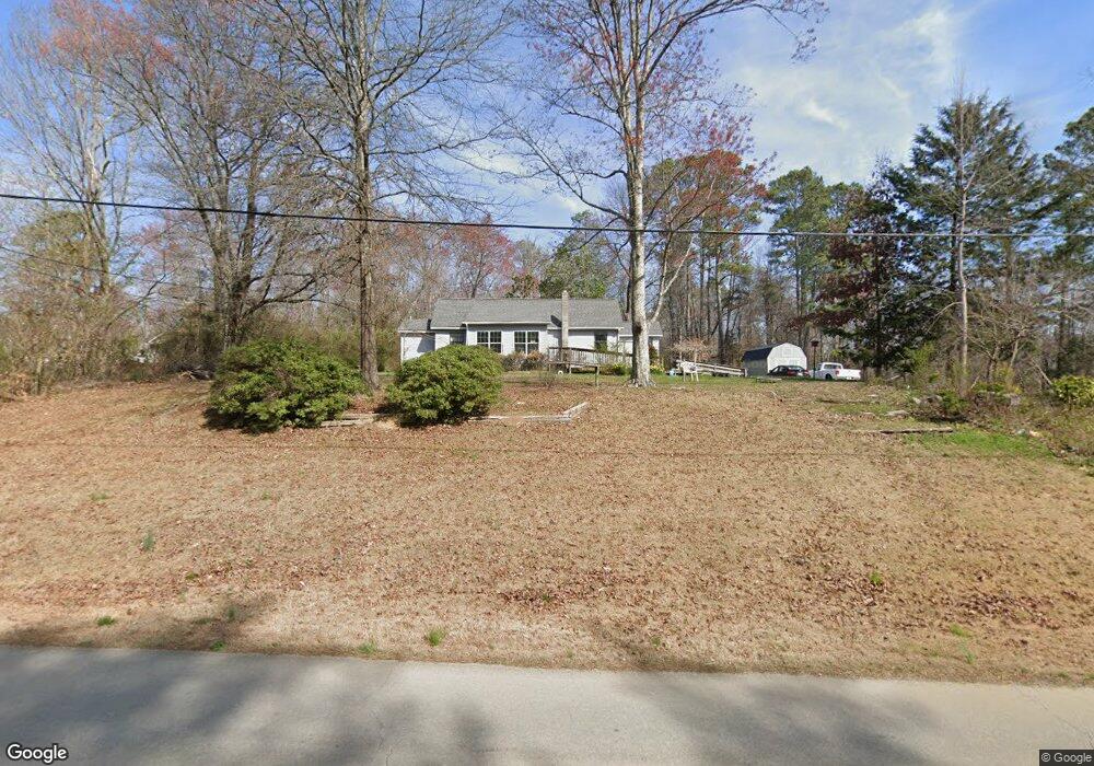
803 Kay Conley Rd Rock Spring, GA 30739
Rock Spring NeighborhoodEstimated Value: $219,471 - $289,000
Studio
2
Baths
1,344
Sq Ft
$189/Sq Ft
Est. Value
About This Home
This home is located at 803 Kay Conley Rd, Rock Spring, GA 30739 and is currently estimated at $254,490, approximately $189 per square foot. 803 Kay Conley Rd is a home located in Walker County with nearby schools including Rock Spring Elementary School, Lafayette High School, and Alice M Daley Adventist School.
Ownership History
Date
Name
Owned For
Owner Type
Purchase Details
Closed on
Apr 6, 2021
Sold by
Hollis Harold D
Bought by
Hollis Barbara Sue
Current Estimated Value
Purchase Details
Closed on
Jun 15, 2016
Bought by
King Michelle
Home Financials for this Owner
Home Financials are based on the most recent Mortgage that was taken out on this home.
Original Mortgage
$62,840
Interest Rate
3.6%
Purchase Details
Closed on
Jan 1, 1972
Bought by
Hollis H D
Create a Home Valuation Report for This Property
The Home Valuation Report is an in-depth analysis detailing your home's value as well as a comparison with similar homes in the area
Home Values in the Area
Average Home Value in this Area
Purchase History
| Date | Buyer | Sale Price | Title Company |
|---|---|---|---|
| Hollis Barbara Sue | -- | -- | |
| King Michelle | -- | -- | |
| Hollis H D | -- | -- |
Source: Public Records
Mortgage History
| Date | Status | Borrower | Loan Amount |
|---|---|---|---|
| Previous Owner | King Michelle | $62,840 | |
| Previous Owner | King Michelle | -- |
Source: Public Records
Tax History Compared to Growth
Tax History
| Year | Tax Paid | Tax Assessment Tax Assessment Total Assessment is a certain percentage of the fair market value that is determined by local assessors to be the total taxable value of land and additions on the property. | Land | Improvement |
|---|---|---|---|---|
| 2024 | $582 | $82,565 | $30,392 | $52,173 |
| 2023 | $438 | $73,477 | $24,120 | $49,357 |
| 2022 | $338 | $68,633 | $26,521 | $42,112 |
| 2021 | $215 | $55,193 | $26,521 | $28,672 |
| 2020 | $243 | $51,871 | $28,482 | $23,389 |
| 2019 | $249 | $51,871 | $28,482 | $23,389 |
| 2018 | $1,373 | $51,871 | $28,482 | $23,389 |
| 2017 | $431 | $51,871 | $28,482 | $23,389 |
| 2016 | $222 | $51,871 | $28,482 | $23,389 |
| 2015 | $398 | $66,323 | $44,644 | $21,679 |
| 2014 | $657 | $66,323 | $44,644 | $21,679 |
| 2013 | -- | $66,323 | $44,644 | $21,679 |
Source: Public Records
Map
Nearby Homes
- 195 Honeysuckle Dr
- 1902 Long Hollow Rd
- 36 Pheonix Cir
- 285 Cooper Rd
- 5602 Georgia 95
- 00 Georgia 95
- 1003 Highway N Old 27
- 1370 Old Highway 27
- 1476 Arnold Rd
- 1121 Arnold Rd
- 701 Bicentennial Trail
- 10180 Us Highway 27
- 40 Blessed Way
- 136 Ginger Lake Dr
- 918 Old Lafayette Rd
- 183 Long Hollow Rd
- 87 Peavine Rd
- 514 Ginger Lake Dr
- 379 N Beaumont Rd
- 23 Willow Cir
- 0 Roy Bird Rd
- 0 Roy Bird Rd Unit 1048872
- 0 Roy Bird Rd Unit 1246271
- 0 Roy Bird Rd Unit 1239136
- 0 Roy Bird Rd Unit 1105367
- 0 Roy Bird Rd Unit 1048868
- 0 Roy Bird Rd Unit 18420
- 771 Kay Conley Rd
- 665 Kay Conley Rd
- 654 Kay Conley Rd
- 905 Kay Conley Rd
- 72 Roy Bird Rd
- 898 Kay Conley Rd
- 622 Kay Conley Rd
- 643 Kay Conley Rd
- 935 Kay Conley Rd
- 617 Kay Conley Rd
- 128 Shadow Springs Rd
- 128 Shadow Springs Trail
- 961 Kay Conley Rd