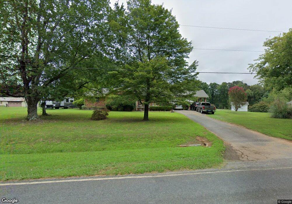
803 Low Bridge Rd Iron Station, NC 28080
Estimated Value: $232,000 - $308,745
2
Beds
2
Baths
1,624
Sq Ft
$165/Sq Ft
Est. Value
About This Home
This home is located at 803 Low Bridge Rd, Iron Station, NC 28080 and is currently estimated at $268,186, approximately $165 per square foot. 803 Low Bridge Rd is a home located in Lincoln County with nearby schools including Iron Station Elementary School, East Lincoln Middle School, and East Lincoln High School.
Ownership History
Date
Name
Owned For
Owner Type
Purchase Details
Closed on
Oct 27, 2015
Sold by
Wensil Martha Yow
Bought by
Withers Ernest F and Withers Heather N
Current Estimated Value
Home Financials for this Owner
Home Financials are based on the most recent Mortgage that was taken out on this home.
Original Mortgage
$92,857
Outstanding Balance
$73,382
Interest Rate
3.93%
Mortgage Type
New Conventional
Estimated Equity
$194,804
Purchase Details
Closed on
May 15, 2001
Bought by
Wensil Robert Belois and Martha Yow
Create a Home Valuation Report for This Property
The Home Valuation Report is an in-depth analysis detailing your home's value as well as a comparison with similar homes in the area
Home Values in the Area
Average Home Value in this Area
Purchase History
| Date | Buyer | Sale Price | Title Company |
|---|---|---|---|
| Withers Ernest F | $91,000 | None Available | |
| Wensil Robert Belois | $90,000 | -- |
Source: Public Records
Mortgage History
| Date | Status | Borrower | Loan Amount |
|---|---|---|---|
| Open | Withers Ernest F | $92,857 |
Source: Public Records
Tax History Compared to Growth
Tax History
| Year | Tax Paid | Tax Assessment Tax Assessment Total Assessment is a certain percentage of the fair market value that is determined by local assessors to be the total taxable value of land and additions on the property. | Land | Improvement |
|---|---|---|---|---|
| 2025 | $1,653 | $242,501 | $41,575 | $200,926 |
| 2024 | $1,633 | $242,501 | $41,575 | $200,926 |
| 2023 | $1,628 | $242,501 | $41,575 | $200,926 |
| 2022 | $1,086 | $130,471 | $27,945 | $102,526 |
| 2021 | $1,086 | $130,471 | $27,945 | $102,526 |
| 2020 | $945 | $130,471 | $27,945 | $102,526 |
| 2019 | $919 | $130,471 | $27,945 | $102,526 |
| 2018 | $944 | $117,754 | $26,460 | $91,294 |
| 2017 | $837 | $117,754 | $26,460 | $91,294 |
| 2016 | $837 | $117,754 | $26,460 | $91,294 |
| 2015 | $906 | $117,754 | $26,460 | $91,294 |
| 2014 | $958 | $126,815 | $27,475 | $99,340 |
Source: Public Records
Map
Nearby Homes
- 3132 Fox Den Cir
- 1554 Forum Ln
- 00 Southmont Rd
- 000 N Carolina 73
- 3960 Orchard Rd
- 189 Fea Ln
- 1279 Craig Dr
- 5486 E Highway 27
- 1987 & 1981 Magnolia Grove Rd
- 222 McMillian Heights Rd
- 00 Timber Rd
- 375 Timber Rd
- 3164 Andrew Link Rd
- Lot 6 Walnut Ridge Rd Unit 6
- 2651 Keever Dairy Farm Rd
- 1585 Salem Church Rd
- 575 Hill Rd
- 1485 Adkin Dr
- 5038 Arden Gate Dr
- 1212 Salem Church Rd
- 821 Bridge Rd
- 784 Low Bridge Rd
- 3561 Randleman Rd
- 828 Low Bridge Rd
- 765 Low Bridge Rd
- 3474 Randleman Rd
- 1082 Dragtown Rd
- 3514 Randleman Rd
- 741 Low Bridge Rd
- 3565 Randleman Rd
- 3436 Randleman Rd
- 0 Randleman Rd
- 3583 Randleman Rd
- 721 Low Bridge Rd
- 3428 Randleman Rd
- 4683 E Highway 27
- 703 Low Bridge Rd
- 4673 E Highway 27
- 698 Low Bridge Rd
- 3661 Randleman Rd