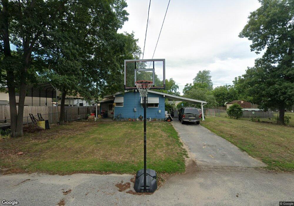
803 Magnolia Ave Millville, NJ 08332
Estimated Value: $195,000 - $244,000
--
Bed
--
Bath
910
Sq Ft
$236/Sq Ft
Est. Value
About This Home
This home is located at 803 Magnolia Ave, Millville, NJ 08332 and is currently estimated at $214,802, approximately $236 per square foot. 803 Magnolia Ave is a home located in Cumberland County with nearby schools including R.M. Bacon Elementary School, Lakeside Middle School, and Memorial High School.
Ownership History
Date
Name
Owned For
Owner Type
Purchase Details
Closed on
Nov 3, 2016
Sold by
Wells Fargo Bank
Bought by
Hennaut Bart Thomas
Current Estimated Value
Purchase Details
Closed on
Feb 25, 2016
Sold by
Austino Robert A and Bennett Marie
Bought by
Wells Fargo Bank Na
Purchase Details
Closed on
Jun 19, 2003
Sold by
Soccio Virginia
Bought by
Bennett Raymond
Home Financials for this Owner
Home Financials are based on the most recent Mortgage that was taken out on this home.
Original Mortgage
$81,800
Interest Rate
5.53%
Mortgage Type
Purchase Money Mortgage
Create a Home Valuation Report for This Property
The Home Valuation Report is an in-depth analysis detailing your home's value as well as a comparison with similar homes in the area
Home Values in the Area
Average Home Value in this Area
Purchase History
| Date | Buyer | Sale Price | Title Company |
|---|---|---|---|
| Hennaut Bart Thomas | $30,000 | Beacon Title | |
| Wells Fargo Bank Na | -- | None Available | |
| Bennett Raymond | $82,500 | -- |
Source: Public Records
Mortgage History
| Date | Status | Borrower | Loan Amount |
|---|---|---|---|
| Previous Owner | Bennett Raymond | $81,800 |
Source: Public Records
Tax History Compared to Growth
Tax History
| Year | Tax Paid | Tax Assessment Tax Assessment Total Assessment is a certain percentage of the fair market value that is determined by local assessors to be the total taxable value of land and additions on the property. | Land | Improvement |
|---|---|---|---|---|
| 2025 | $3,458 | $88,100 | $29,900 | $58,200 |
| 2024 | $3,458 | $88,100 | $29,900 | $58,200 |
| 2023 | $3,429 | $88,100 | $29,900 | $58,200 |
| 2022 | $3,340 | $88,100 | $29,900 | $58,200 |
| 2021 | $3,232 | $88,100 | $29,900 | $58,200 |
| 2020 | $3,178 | $88,100 | $29,900 | $58,200 |
| 2019 | $3,031 | $88,100 | $29,900 | $58,200 |
| 2018 | $2,968 | $88,100 | $29,900 | $58,200 |
| 2017 | $2,941 | $88,100 | $29,900 | $58,200 |
| 2016 | $2,904 | $88,100 | $29,900 | $58,200 |
| 2015 | $2,839 | $88,100 | $29,900 | $58,200 |
| 2014 | $2,594 | $88,100 | $29,900 | $58,200 |
Source: Public Records
Map
Nearby Homes
- 601 Whitall Ave
- 600 Valatia Ave
- 602 Valatia Ave
- 604 Valatia Ave
- 606 Valatia Ave
- 510 Valatia Ave
- 509 Whitall Ave
- 607 Whitall Ave
- 800 Leonard Dr
- 802 Leonard Dr
- 602 Whitall Ave
- 503 Whitall Ave
- 603 Valatia Ave
- 605 Valatia Ave
- 606 Whitall Ave
- 508 Whitall Ave
- 607 Valatia Ave
- 609 Valatia Ave
- 510 Whitall Ave
- 608 Whitall Ave