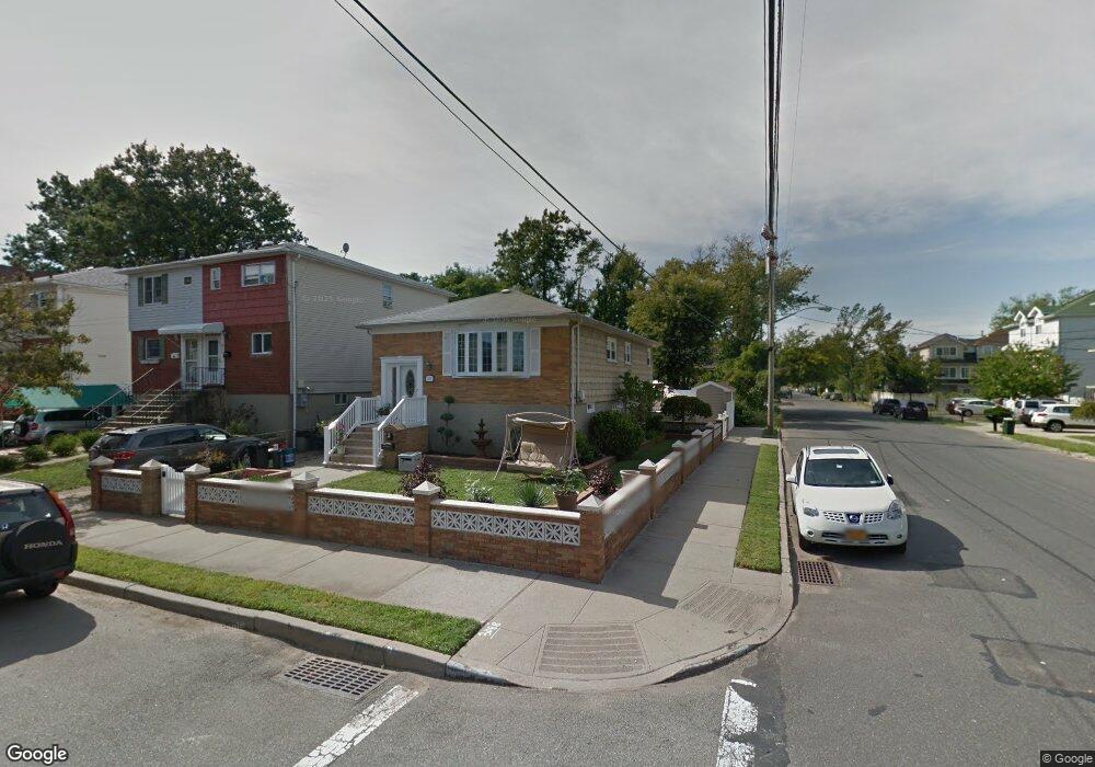
803 Nugent Ave Staten Island, NY 10306
Midland Beach NeighborhoodEstimated Value: $696,166 - $850,000
--
Bed
4
Baths
1,920
Sq Ft
$396/Sq Ft
Est. Value
About This Home
This home is located at 803 Nugent Ave, Staten Island, NY 10306 and is currently estimated at $760,792, approximately $396 per square foot. 803 Nugent Ave is a home located in Richmond County with nearby schools including P.S. 038 George Cromwell School, Is 2 George L Egbert, and New Dorp High School.
Ownership History
Date
Name
Owned For
Owner Type
Purchase Details
Closed on
Mar 2, 2005
Sold by
Mastrangelo Ronald A
Bought by
Mastrangelo Ronald A and Mastrangelo Donna E
Current Estimated Value
Create a Home Valuation Report for This Property
The Home Valuation Report is an in-depth analysis detailing your home's value as well as a comparison with similar homes in the area
Home Values in the Area
Average Home Value in this Area
Purchase History
| Date | Buyer | Sale Price | Title Company |
|---|---|---|---|
| Mastrangelo Ronald A | -- | -- |
Source: Public Records
Tax History Compared to Growth
Tax History
| Year | Tax Paid | Tax Assessment Tax Assessment Total Assessment is a certain percentage of the fair market value that is determined by local assessors to be the total taxable value of land and additions on the property. | Land | Improvement |
|---|---|---|---|---|
| 2025 | $4,972 | $47,880 | $3,966 | $43,914 |
| 2024 | $5,076 | $43,620 | $4,320 | $39,300 |
| 2023 | $4,812 | $26,938 | $3,450 | $23,488 |
| 2022 | $4,414 | $49,920 | $6,600 | $43,320 |
| 2021 | $4,334 | $43,620 | $6,600 | $37,020 |
| 2020 | $4,416 | $37,620 | $6,600 | $31,020 |
| 2019 | $4,319 | $32,700 | $6,600 | $26,100 |
| 2018 | $4,278 | $22,448 | $5,144 | $17,304 |
| 2017 | $4,017 | $21,178 | $5,654 | $15,524 |
| 2016 | $3,684 | $19,980 | $6,600 | $13,380 |
| 2015 | $3,529 | $19,980 | $6,600 | $13,380 |
| 2014 | $3,529 | $19,980 | $6,600 | $13,380 |
Source: Public Records
Map
Nearby Homes
- 189 Kiswick St
- 136 Moreland St
- 139 Kiswick St
- 164 Grimsby St
- 16 Mapleton Ave
- 3 Mapleton Ave
- 1170 Mason Ave
- 237 Freeborn St
- 1168 Mason Ave
- 480 Midland Ave
- 478 Midland Ave Unit 480
- 478-480 Midland Ave
- 1147 Mason Ave
- 17 Hempstead Ave
- 184 Freeborn St
- 19 Hempstead Ave
- 182 Freeborn St
- 422 Hunter Ave
- 994 Olympia Blvd
- 410 Hunter Ave Unit 412
- 805 Nugent Ave
- 809 Nugent Ave
- 496 Bedford Ave
- 811 Nugent Ave
- 494 Bedford Ave
- 162 Kiswick St
- 815 Nugent Ave
- 501 Bedford Ave
- 510 Bedford Ave
- 510 Bedford Ave Unit Staten Island
- 806 Nugent Ave
- 510 Bedford Ave
- 505 Bedford Ave
- 507 Bedford Ave
- 492 Bedford Ave
- 817 Nugent Ave
- 488 Bedford Ave
- 497 Bedford Ave
- 495 Bedford Ave
- 172 Kiswick St