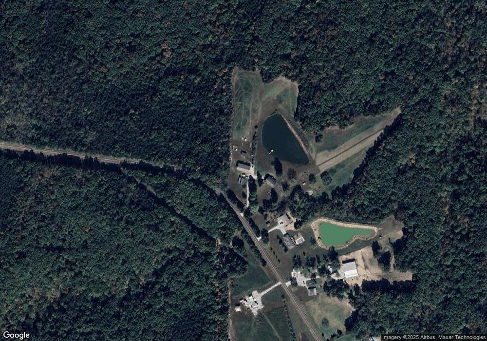
803 State Road Mm New Bloomfield, MO 65063
Estimated Value: $387,531 - $475,000
--
Bed
1
Bath
1,860
Sq Ft
$231/Sq Ft
Est. Value
About This Home
This home is located at 803 State Road Mm, New Bloomfield, MO 65063 and is currently estimated at $429,510, approximately $230 per square foot. 803 State Road Mm is a home located in Callaway County with nearby schools including New Bloomfield Elementary School and New Bloomfield High School.
Create a Home Valuation Report for This Property
The Home Valuation Report is an in-depth analysis detailing your home's value as well as a comparison with similar homes in the area
Home Values in the Area
Average Home Value in this Area
Tax History Compared to Growth
Tax History
| Year | Tax Paid | Tax Assessment Tax Assessment Total Assessment is a certain percentage of the fair market value that is determined by local assessors to be the total taxable value of land and additions on the property. | Land | Improvement |
|---|---|---|---|---|
| 2024 | $1,999 | $35,294 | $0 | $0 |
| 2023 | $1,999 | $33,657 | $0 | $0 |
| 2022 | $1,902 | $33,657 | $1,510 | $32,147 |
| 2021 | $1,902 | $33,657 | $1,510 | $32,147 |
| 2020 | $1,904 | $33,657 | $1,510 | $32,147 |
| 2019 | $1,863 | $33,657 | $1,510 | $32,147 |
| 2018 | $1,871 | $33,674 | $1,527 | $32,147 |
| 2017 | $1,868 | $33,674 | $1,527 | $32,147 |
| 2016 | $1,920 | $34,550 | $0 | $0 |
| 2015 | $1,909 | $34,550 | $0 | $0 |
| 2014 | $1,919 | $34,520 | $0 | $0 |
Source: Public Records
Map
Nearby Homes
- 845 State Road Mm
- TBD County Road 375
- 0 County Road 375
- 0 E Gilmore Ln
- 2143 Milanda Lake Rd Unit A & B
- LOT 10&11 Lyndell Blvd
- 11065 Ridge Fork Dr
- 7165 E Hartman Rd
- 11251 County Road 391
- 00 Talley Rd
- 0 Talley Rd
- 0 S Westbrook Dr
- 10871 Mallard Ct
- 6960 E Claysville Rd
- LOT 31 Hailey Ln
- LOT 22 E Nevin Ct
- 775 Vine Dr
- 734 Vine Dr
- 0 E Route A Unit 424910
- 633 Emerald Point Rd
- 815 State Road Mm
- 827 State Road Mm
- 839 State Road Mm
- 845 State Road Mm Unit MM
- 841 State Road Mm
- 9680 Sunflower Ln
- 9684 Sunflower Ln
- 861 State Road Mm
- 10107 County Road 397
- 9800 County Road 397
- 9800 County Road 397
- 875 State Road Mm
- TR 13 Sunflower Ln
- 9689 County Road 389
- 10250 County Road 397
- 9736 Sunflower Ln
- 1019 State Road Mm
- 917 State Road Mm
- 917 State Road Mm Unit MM
- 925 State Road Mm
