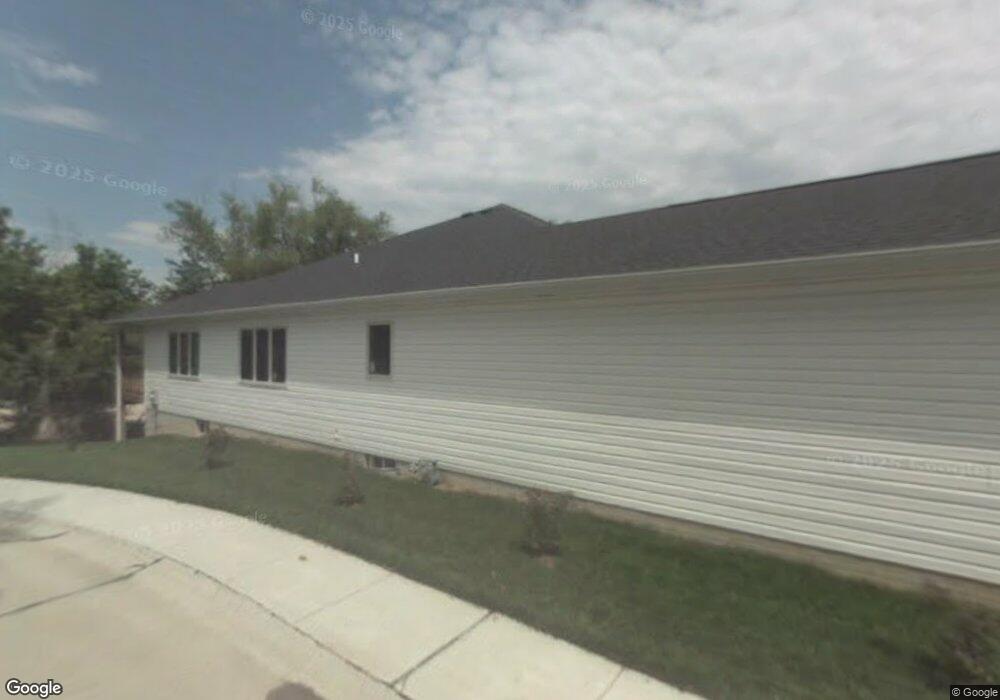
8030 A St Unit 1 Lincoln, NE 68510
Estimated Value: $399,100 - $448,000
2
Beds
2
Baths
1,540
Sq Ft
$273/Sq Ft
Est. Value
About This Home
This home is located at 8030 A St Unit 1, Lincoln, NE 68510 and is currently estimated at $420,275, approximately $272 per square foot. 8030 A St Unit 1 is a home located in Lancaster County with nearby schools including Pyrtle Elementary School, Lux Middle School, and Lincoln East High School.
Ownership History
Date
Name
Owned For
Owner Type
Purchase Details
Closed on
May 23, 2013
Sold by
Crop Kodad
Bought by
Hansen Kathy A
Current Estimated Value
Home Financials for this Owner
Home Financials are based on the most recent Mortgage that was taken out on this home.
Original Mortgage
$191,920
Outstanding Balance
$41,698
Interest Rate
3.43%
Mortgage Type
New Conventional
Estimated Equity
$378,577
Purchase Details
Closed on
Jun 13, 2012
Sold by
First State Bank
Bought by
Kodad Corporation
Home Financials for this Owner
Home Financials are based on the most recent Mortgage that was taken out on this home.
Original Mortgage
$346,643
Interest Rate
3.8%
Mortgage Type
Construction
Purchase Details
Closed on
Jun 24, 2011
Sold by
Eggert Kevin L and Eggert Suzanne M
Bought by
First State Bank
Create a Home Valuation Report for This Property
The Home Valuation Report is an in-depth analysis detailing your home's value as well as a comparison with similar homes in the area
Home Values in the Area
Average Home Value in this Area
Purchase History
| Date | Buyer | Sale Price | Title Company |
|---|---|---|---|
| Hansen Kathy A | $240,000 | Nebraska Land Title & Abstra | |
| Kodad Corporation | $170,000 | Nebraska Land Title & Abstra | |
| First State Bank | -- | Ntc |
Source: Public Records
Mortgage History
| Date | Status | Borrower | Loan Amount |
|---|---|---|---|
| Open | Hansen Kathy A | $191,920 | |
| Previous Owner | Kodad Corporation | $346,643 |
Source: Public Records
Tax History Compared to Growth
Tax History
| Year | Tax Paid | Tax Assessment Tax Assessment Total Assessment is a certain percentage of the fair market value that is determined by local assessors to be the total taxable value of land and additions on the property. | Land | Improvement |
|---|---|---|---|---|
| 2025 | $190 | $358,400 | $75,000 | $283,400 |
| 2024 | $190 | $338,700 | $46,000 | $292,700 |
| 2023 | $5,677 | $338,700 | $46,000 | $292,700 |
| 2022 | $5,977 | $299,900 | $40,000 | $259,900 |
| 2021 | $5,655 | $299,900 | $40,000 | $259,900 |
| 2020 | $5,818 | $304,500 | $40,000 | $264,500 |
| 2019 | $5,819 | $304,500 | $40,000 | $264,500 |
| 2018 | $5,511 | $287,100 | $30,000 | $257,100 |
| 2017 | $5,562 | $287,100 | $30,000 | $257,100 |
| 2016 | $5,053 | $259,500 | $30,000 | $229,500 |
| 2015 | $5,018 | $259,500 | $30,000 | $229,500 |
| 2014 | $4,611 | $237,100 | $34,500 | $202,600 |
| 2013 | -- | $237,100 | $34,500 | $202,600 |
Source: Public Records
Map
Nearby Homes
- 8125 Hickory Ln
- 8124 Hickory Ln
- 8121 A St
- 8231 Hickory Ln
- 1101 Cobblestone Dr
- 1031 Cobblestone Dr
- 1601 Devoe Dr
- 1000 Cobblestone Dr
- 920 Lamplighter Ln
- 921 Cottonwood Dr
- 8124 S Hazelwood Dr
- 916 Carriage Way Unit 13
- 841 Coachmans Dr
- 1720 Brent Blvd
- 1625 S 77th St
- 1732 Pinedale Ave
- 905 Sycamore Dr
- 8420 Navajo Trail
- 1701 Buckingham Dr
- 1901 Pinedale Ave