8030 Riffe Ln SW Rochester, WA 98579
Estimated Value: $510,316 - $560,000
3
Beds
2
Baths
1,548
Sq Ft
$348/Sq Ft
Est. Value
About This Home
This home is located at 8030 Riffe Ln SW, Rochester, WA 98579 and is currently estimated at $538,329, approximately $347 per square foot. 8030 Riffe Ln SW is a home located in Thurston County with nearby schools including Rochester Primary School, Grand Mound Elementary School, and Rochester Middle School.
Ownership History
Date
Name
Owned For
Owner Type
Purchase Details
Closed on
Oct 20, 1997
Sold by
Riffe Loren and Riffe Orpha
Bought by
Hyatt Nancy J
Current Estimated Value
Home Financials for this Owner
Home Financials are based on the most recent Mortgage that was taken out on this home.
Original Mortgage
$93,600
Outstanding Balance
$15,091
Interest Rate
7.49%
Estimated Equity
$523,238
Create a Home Valuation Report for This Property
The Home Valuation Report is an in-depth analysis detailing your home's value as well as a comparison with similar homes in the area
Home Values in the Area
Average Home Value in this Area
Purchase History
| Date | Buyer | Sale Price | Title Company |
|---|---|---|---|
| Hyatt Nancy J | $116,988 | Thurston County Title Co |
Source: Public Records
Mortgage History
| Date | Status | Borrower | Loan Amount |
|---|---|---|---|
| Open | Hyatt Nancy J | $93,600 |
Source: Public Records
Tax History Compared to Growth
Tax History
| Year | Tax Paid | Tax Assessment Tax Assessment Total Assessment is a certain percentage of the fair market value that is determined by local assessors to be the total taxable value of land and additions on the property. | Land | Improvement |
|---|---|---|---|---|
| 2024 | $3,421 | $415,100 | $152,200 | $262,900 |
| 2023 | $3,421 | $392,300 | $116,200 | $276,100 |
| 2022 | $3,093 | $369,800 | $78,200 | $291,600 |
| 2021 | $2,981 | $298,300 | $102,700 | $195,600 |
| 2020 | $3,197 | $265,000 | $56,200 | $208,800 |
| 2019 | $2,798 | $237,000 | $62,900 | $174,100 |
| 2018 | $3,089 | $215,000 | $55,800 | $159,200 |
| 2017 | $2,938 | $206,550 | $47,950 | $158,600 |
| 2016 | $2,682 | $191,050 | $51,750 | $139,300 |
| 2014 | -- | $184,600 | $53,800 | $130,800 |
Source: Public Records
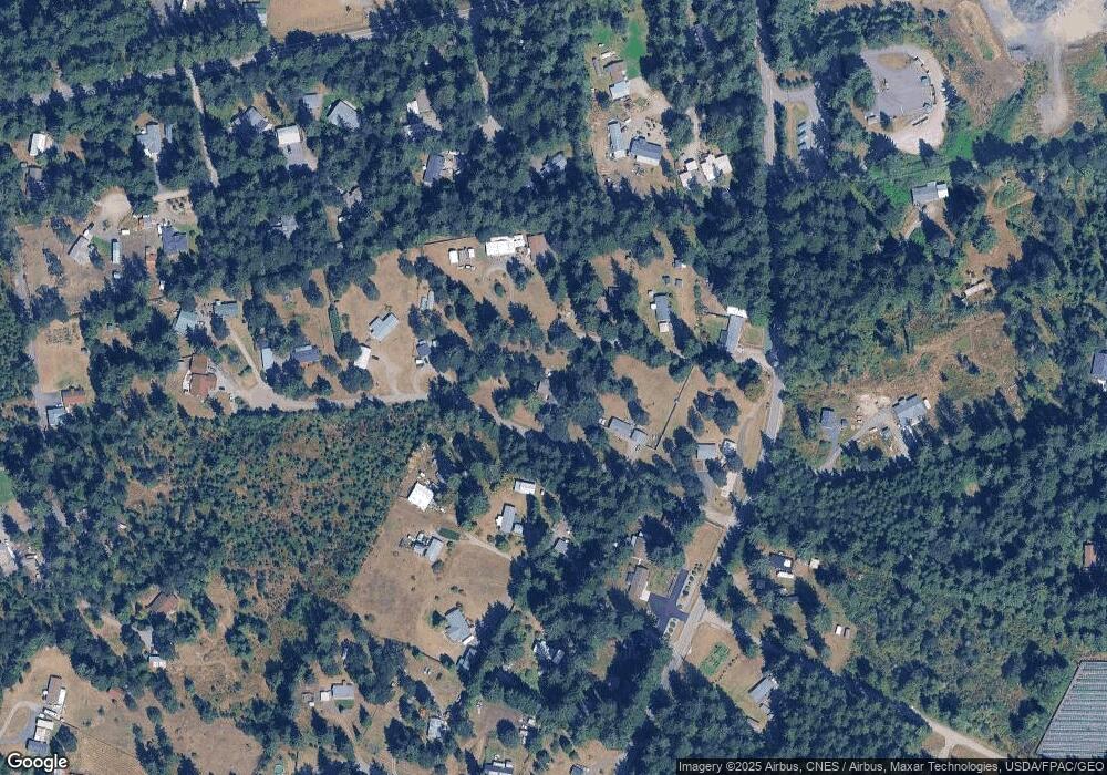
Map
Nearby Homes
- 17340 Sargent Rd SW Unit 35
- 17340 Sargent Rd SW Unit 66
- 17340 Sargent Rd SW Unit 61
- 8725 152nd Ave SW
- 17615 Irwin St SW
- 8548 178th Ave SW
- 18000 Applegate St SW
- 7332 183rd Ave SW
- 8826 183rd Ave SW
- 9237 Applegate Loop SW
- 17927 Daryl Ln SW
- 9015 183rd Ave SW
- 7245 185th Ln SW
- 12630 183rd Ave SW
- 12624 183rd Ave SW
- 18549 Roseburg St SW
- 17930 Littlerock Rd SW
- 17710 Albany St SW
- 10418 173rd Ave SW
- 19115 Old Ranch Ln SW
- 16635 Sargent Rd SW
- 16729 Sargent Rd SW
- 16725 Sargent Rd SW
- 16631 Sargent Rd SW
- 16721 Sargent Rd SW
- 16426 Littlerock Rd SW
- 16531 Sargent Rd SW
- 16512 Littlerock Rd SW
- 16731 Sargent Rd SW
- 16720 Sargent Rd SW
- 16518 Littlerock Rd SW
- 16723 Sargent Rd SW
- 16837 Sargent Rd SW
- 8230 Riffe Ln SW
- 16835 Sargent Rd SW
- 16634 Sargent Rd SW
- 8240 Riffe Ln SW
- 16730 Sargent Rd SW
- 16525 Sargent Rd SW