8031 Cole Rd Reading, MI 49274
Estimated Value: $308,000 - $400,000
Studio
1
Bath
1,104
Sq Ft
$318/Sq Ft
Est. Value
About This Home
This home is located at 8031 Cole Rd, Reading, MI 49274 and is currently estimated at $351,465, approximately $318 per square foot. 8031 Cole Rd is a home located in Hillsdale County with nearby schools including Reynolds Elementary School and Reading High School.
Ownership History
Date
Name
Owned For
Owner Type
Purchase Details
Closed on
Aug 5, 2024
Sold by
Partee Randall L and Partee Regina L
Bought by
Aeschliman Chad L and Aeschliman Nichole Y
Current Estimated Value
Purchase Details
Closed on
Oct 14, 2008
Sold by
Murry Michael W and Murry David E
Bought by
Partee Randall L and Partee Regina L
Home Financials for this Owner
Home Financials are based on the most recent Mortgage that was taken out on this home.
Original Mortgage
$90,000
Interest Rate
6.41%
Mortgage Type
Unknown
Purchase Details
Closed on
Jun 15, 2006
Sold by
Murry Charles E
Bought by
Murry Michael W and Pursel Nan A
Purchase Details
Closed on
Jun 6, 2004
Sold by
Murry Charles E
Bought by
Murry Charles E
Purchase Details
Closed on
Jul 15, 1992
Bought by
Murry Charles and Murry Marilyn
Purchase Details
Closed on
Jul 15, 1988
Bought by
Murry
Purchase Details
Closed on
Aug 15, 1987
Bought by
Never
Purchase Details
Closed on
Dec 15, 1980
Bought by
Kibbey
Create a Home Valuation Report for This Property
The Home Valuation Report is an in-depth analysis detailing your home's value as well as a comparison with similar homes in the area
Purchase History
| Date | Buyer | Sale Price | Title Company |
|---|---|---|---|
| Aeschliman Chad L | $325,000 | Mutual Title | |
| Partee Randall L | $145,000 | First American | |
| Murry Michael W | -- | None Available | |
| Murry Charles E | -- | -- | |
| Murry Charles | $45,700 | -- | |
| Murry | $46,000 | -- | |
| Never | $45,700 | -- | |
| Kibbey | -- | -- |
Source: Public Records
Mortgage History
| Date | Status | Borrower | Loan Amount |
|---|---|---|---|
| Previous Owner | Partee Randall L | $90,000 |
Source: Public Records
Tax History
| Year | Tax Paid | Tax Assessment Tax Assessment Total Assessment is a certain percentage of the fair market value that is determined by local assessors to be the total taxable value of land and additions on the property. | Land | Improvement |
|---|---|---|---|---|
| 2025 | $1,951 | $178,700 | $0 | $0 |
| 2024 | $9 | $178,000 | $0 | $0 |
| 2023 | $897 | $160,500 | $0 | $0 |
| 2022 | $3,434 | $138,100 | $0 | $0 |
| 2021 | $3,338 | $133,700 | $0 | $0 |
| 2020 | $3,325 | $107,600 | $0 | $0 |
| 2019 | $3,235 | $95,100 | $0 | $0 |
| 2018 | $3,111 | $87,100 | $0 | $0 |
| 2017 | $3,021 | $84,200 | $0 | $0 |
| 2016 | $2,996 | $72,200 | $0 | $0 |
| 2015 | $756 | $72,200 | $0 | $0 |
| 2013 | $732 | $67,610 | $0 | $0 |
| 2012 | $715 | $65,250 | $0 | $0 |
Source: Public Records
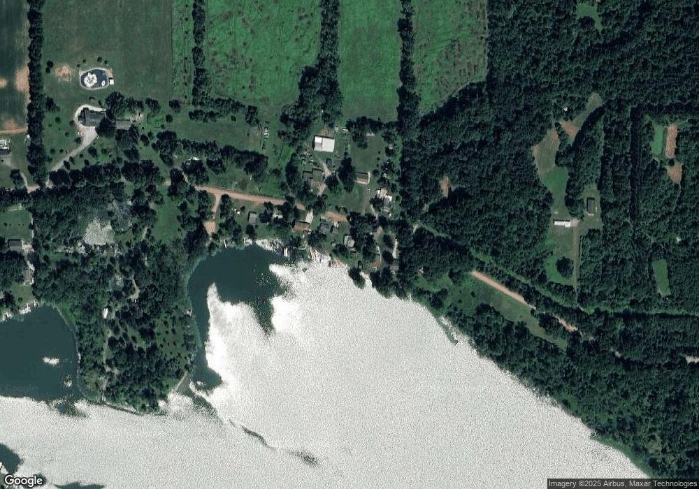
Map
Nearby Homes
- 8941 Kellogg Dr
- 9055 Kellogg Dr
- 9059 Kellogg Dr
- 8875 Kellogg Dr
- 9180 Arkansaw Rd
- 3870 Rus Dic Dr
- 5160 Quackenbush Rd
- 6331 Bacon Rd
- 4111 Blair Rd
- 2520 S Sand Lake Rd
- 2201 S Sand Lake Rd
- 5100 Long Lake Rd
- 4048 Bankers Rd
- 4300 W Bacon Rd
- 123 N Main St
- 3960 W Hallett Rd
- 0 W Silver St Unit 25044322
- 108 Lynn St
- 309 S Main St
- 4400 Mechanic Rd
Your Personal Tour Guide
Ask me questions while you tour the home.