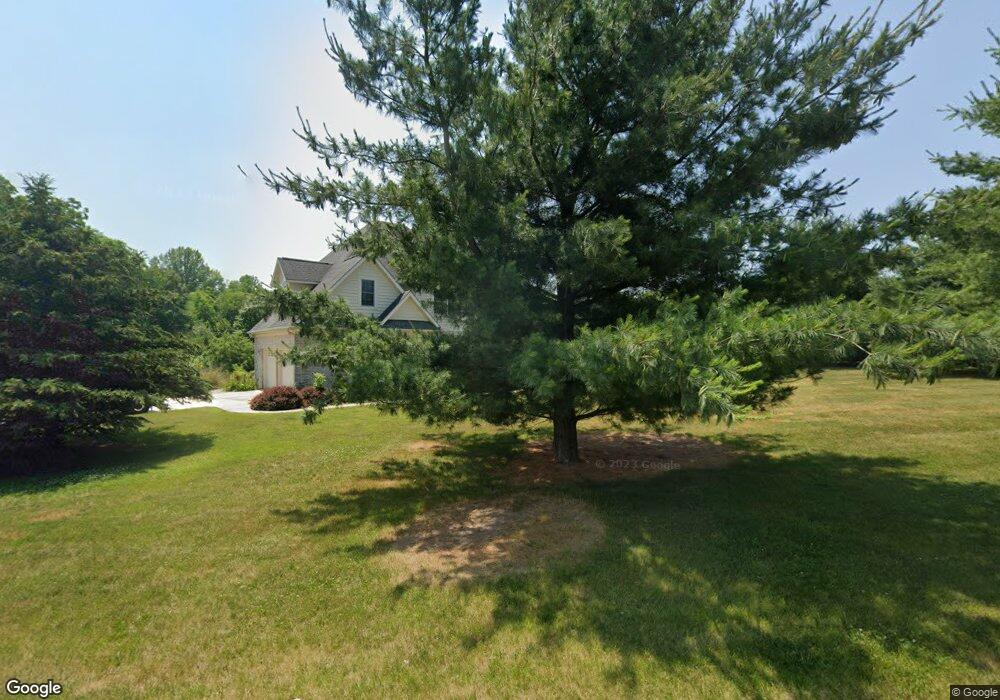
8032 E Walnut Ridge New Carlisle, IN 46552
Estimated Value: $560,087 - $747,000
3
Beds
4
Baths
3,029
Sq Ft
$223/Sq Ft
Est. Value
About This Home
This home is located at 8032 E Walnut Ridge, New Carlisle, IN 46552 and is currently estimated at $675,272, approximately $222 per square foot. 8032 E Walnut Ridge is a home located in LaPorte County with nearby schools including New Prairie High School and Sacred Heart Apostolic School.
Ownership History
Date
Name
Owned For
Owner Type
Purchase Details
Closed on
Feb 14, 2019
Sold by
Piludu Louis A and Piludu Donna M
Bought by
Piludu Louis A and Piludu Donna M
Current Estimated Value
Purchase Details
Closed on
May 5, 2005
Sold by
Shelby Timothy W and Shelby Stacy M
Bought by
Piludu Louis A and Piludu Donna M
Home Financials for this Owner
Home Financials are based on the most recent Mortgage that was taken out on this home.
Original Mortgage
$289,000
Outstanding Balance
$142,478
Interest Rate
5%
Mortgage Type
Fannie Mae Freddie Mac
Estimated Equity
$532,794
Create a Home Valuation Report for This Property
The Home Valuation Report is an in-depth analysis detailing your home's value as well as a comparison with similar homes in the area
Home Values in the Area
Average Home Value in this Area
Purchase History
| Date | Buyer | Sale Price | Title Company |
|---|---|---|---|
| Piludu Louis A | -- | None Available | |
| Piludu Louis A | -- | Metropolitan Title In Llc |
Source: Public Records
Mortgage History
| Date | Status | Borrower | Loan Amount |
|---|---|---|---|
| Open | Piludu Louis A | $289,000 |
Source: Public Records
Tax History Compared to Growth
Tax History
| Year | Tax Paid | Tax Assessment Tax Assessment Total Assessment is a certain percentage of the fair market value that is determined by local assessors to be the total taxable value of land and additions on the property. | Land | Improvement |
|---|---|---|---|---|
| 2024 | $4,395 | $419,000 | $59,100 | $359,900 |
| 2023 | $4,316 | $392,900 | $59,100 | $333,800 |
| 2022 | $4,166 | $377,100 | $59,100 | $318,000 |
| 2021 | $3,813 | $349,000 | $59,100 | $289,900 |
| 2020 | $3,872 | $349,000 | $59,100 | $289,900 |
| 2019 | $3,148 | $283,000 | $59,100 | $223,900 |
| 2018 | $3,248 | $285,700 | $59,100 | $226,600 |
| 2017 | $3,151 | $289,000 | $59,100 | $229,900 |
| 2016 | $3,509 | $300,600 | $59,100 | $241,500 |
| 2014 | $3,885 | $377,400 | $61,400 | $316,000 |
Source: Public Records
Map
Nearby Homes
- 8196 E Walnut Ridge
- 7674 Potato Hole Ct
- 55554 County Line Rd
- 33820 Early Rd
- 33810 Early Rd
- 33790 Early Rd
- 33780 Early Rd
- 33770 Early Rd
- 33800 Early Rd
- 33760 Early Rd
- 33750 Early Rd
- 33791 Early Rd
- 33740 Early Rd
- 33811 Ferncrest Ct
- 55420 Forest Cove Ct
- 54850 County Line Rd
- 33671 Woodmont Ridge Dr
- 54760 County Line Rd
- 7428 E 400 N
- 55420 County Line Rd
- 5155 N 800 E
- 5222 N 800 E
- 8084 E Walnut Ridge
- 5232 N 800 E
- 8106 E Walnut Ridge
- 5241 N 800 E
- 5242 N 800 E
- 7982 Potato Hole Ct
- 8089 Walnut Ridge Dr
- 8089 E Walnut Ridge
- 8200 Walnut Ridge Dr
- 0 Walnut Ridge Dr
- 0 Colsen Lot 9
- 5192 N 800 E
- 5183 N 800 E
- 5429 N 800 E
- 8128 E Walnut Ridge
- 8182 E Walnut Ridge
- 7874 Potato Hole Ct
- 0 Potato Hole Ct Unit 814479