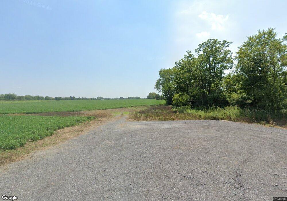
8033 Millikin Rd Liberty Township, OH 45044
Estimated Value: $65,000 - $827,000
3
Beds
1
Bath
1,056
Sq Ft
$416/Sq Ft
Est. Value
About This Home
This home is located at 8033 Millikin Rd, Liberty Township, OH 45044 and is currently estimated at $439,000, approximately $415 per square foot. 8033 Millikin Rd is a home located in Butler County with nearby schools including Independence Elementary School, Hopewell Junior School, and Lakota East High School.
Ownership History
Date
Name
Owned For
Owner Type
Purchase Details
Closed on
Feb 7, 2018
Sold by
Cornett Roger and Cornett Mary K
Bought by
Madala Investments Llc
Current Estimated Value
Home Financials for this Owner
Home Financials are based on the most recent Mortgage that was taken out on this home.
Original Mortgage
$1,241,927
Outstanding Balance
$1,051,800
Interest Rate
3.99%
Mortgage Type
Construction
Estimated Equity
-$612,800
Create a Home Valuation Report for This Property
The Home Valuation Report is an in-depth analysis detailing your home's value as well as a comparison with similar homes in the area
Home Values in the Area
Average Home Value in this Area
Purchase History
| Date | Buyer | Sale Price | Title Company |
|---|---|---|---|
| Madala Investments Llc | $41,458 | None Available |
Source: Public Records
Mortgage History
| Date | Status | Borrower | Loan Amount |
|---|---|---|---|
| Open | Madala Investments Llc | $1,241,927 |
Source: Public Records
Tax History Compared to Growth
Tax History
| Year | Tax Paid | Tax Assessment Tax Assessment Total Assessment is a certain percentage of the fair market value that is determined by local assessors to be the total taxable value of land and additions on the property. | Land | Improvement |
|---|---|---|---|---|
| 2024 | $1,406 | $17,350 | $17,350 | -- |
| 2023 | $695 | $17,350 | $17,350 | -- |
| 2022 | $1,403 | $17,350 | $17,350 | $0 |
| 2021 | $879 | $17,350 | $17,350 | $0 |
| 2020 | $4,695 | $58,860 | $17,350 | $41,510 |
| 2019 | $5,039 | $52,310 | $17,300 | $35,010 |
| 2018 | $2,447 | $52,310 | $17,300 | $35,010 |
| 2017 | $2,481 | $52,310 | $17,300 | $35,010 |
| 2016 | $2,216 | $47,440 | $17,300 | $30,140 |
| 2015 | $2,224 | $47,440 | $17,300 | $30,140 |
| 2014 | $2,205 | $47,440 | $17,300 | $30,140 |
| 2013 | $2,205 | $45,720 | $15,900 | $29,820 |
Source: Public Records
Map
Nearby Homes
- 7798 Derbyshire Ct
- 7644 Millikin Rd
- 6943 Roberts Park Dr
- 8091 Green Lake Dr
- 6405 Cincinnati Dayton Rd
- 7497 Burton Dr
- 3620 Capitol Ave
- 8319 Verbena Ln
- 5602 Schlade Ct
- 3697 Capitol Ave
- 6927 Gentry Ln Unit 6927
- 6335 Gem Stone Dr
- 7377 Burton Dr
- 5913 Stones Throw Way
- 1 Kyles Station Rd
- 3871 Heritage Pointe Blvd
- 7120 Shady Brook Bend
- 7108 Shady Brook Bend
- 5933 Old Pebble Path
- 3852 Legacy Dr
- 8064 Millikin Rd
- 8074 Millikin Rd
- 8087 Millikin Rd
- 6029 Lancashire Trail
- 6039 Lancashire Trail
- 6049 Lancashire Trail
- 6019 Lancashire Trail
- 6059 Lancashire Trail
- 8100 Millikin Rd
- 6069 Lancashire Trail
- 6079 Lancashire Trail
- 6048 Lancashire Trail
- 6058 Lancashire Trail
- 6089 Lancashire Trail
- 6028 Lancashire Trail
- 6038 Lancashire Trail
- 6099 Lancashire Trail
- 150 Windsor Trail
- 6078 Lancashire Trail
- 6068 Lancashire Trail
