8033 Upper Peoh Point Rd Cle Elum, WA 98922
Estimated Value: $584,000 - $730,000
2
Beds
2
Baths
1,320
Sq Ft
$493/Sq Ft
Est. Value
About This Home
This home is located at 8033 Upper Peoh Point Rd, Cle Elum, WA 98922 and is currently estimated at $651,031, approximately $493 per square foot. 8033 Upper Peoh Point Rd is a home located in Kittitas County with nearby schools including Cle Elum Roslyn Elementary School, Walter Strom Middle School, and Cle Elum Roslyn High School.
Ownership History
Date
Name
Owned For
Owner Type
Purchase Details
Closed on
Feb 28, 2022
Sold by
Denise Nau Janet
Bought by
Coley Thomas Michael and Nau Janet Denise
Current Estimated Value
Home Financials for this Owner
Home Financials are based on the most recent Mortgage that was taken out on this home.
Original Mortgage
$257,000
Outstanding Balance
$240,121
Interest Rate
3.92%
Mortgage Type
New Conventional
Estimated Equity
$410,910
Purchase Details
Closed on
Aug 21, 2007
Sold by
Nau Janet D
Bought by
Nau Janet D
Create a Home Valuation Report for This Property
The Home Valuation Report is an in-depth analysis detailing your home's value as well as a comparison with similar homes in the area
Home Values in the Area
Average Home Value in this Area
Purchase History
| Date | Buyer | Sale Price | Title Company |
|---|---|---|---|
| Coley Thomas Michael | -- | Wfg National Title | |
| Nau Janet D | -- | None Available |
Source: Public Records
Mortgage History
| Date | Status | Borrower | Loan Amount |
|---|---|---|---|
| Open | Coley Thomas Michael | $257,000 |
Source: Public Records
Tax History
| Year | Tax Paid | Tax Assessment Tax Assessment Total Assessment is a certain percentage of the fair market value that is determined by local assessors to be the total taxable value of land and additions on the property. | Land | Improvement |
|---|---|---|---|---|
| 2025 | $3,388 | $606,620 | $171,300 | $435,320 |
| 2023 | $3,388 | $500,280 | $131,300 | $368,980 |
| 2022 | $2,980 | $409,250 | $96,300 | $312,950 |
| 2021 | $3,049 | $399,940 | $96,300 | $303,640 |
| 2019 | $2,073 | $227,740 | $61,300 | $166,440 |
| 2018 | $1,848 | $227,740 | $61,300 | $166,440 |
| 2017 | $1,848 | $227,740 | $61,300 | $166,440 |
| 2016 | $1,852 | $227,740 | $61,300 | $166,440 |
| 2015 | $1,894 | $227,740 | $61,300 | $166,440 |
| 2013 | -- | $218,360 | $61,300 | $157,060 |
Source: Public Records
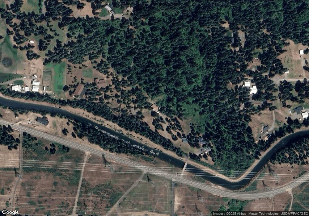
Map
Nearby Homes
- 131 Casassa Rd
- 6280 Lower Peoh Point Rd
- 1 Black Hawk Dr
- 6160 Upper Peoh Point Rd
- 371 Eastgate Dr
- 429 Dakota Heights Dr
- 393 Tom & Nita Rd
- 80 LOT Skull Springs Rd
- 61 Tom and Nita Rd
- 680 Horse Heaven Rd
- 831 Horse Heaven Rd
- 4081 Washington 970 Unit D1
- 4081 Washington 970 Unit D7
- 4081 Washington 970 Unit B5
- 4081 Washington 970 Unit B3
- 4081 Washington 970 Unit D6
- 4081 Washington 970 Unit A3
- 4081 Washington 970 Unit B4
- 4081 Washington 970 Unit A5
- 4081 Washington 970 Unit A4
- 8031 Upper Peoh Point Rd
- 8037 Upper Peoh Point Rd
- 8605 Upper Peoh Point Rd
- 821 Anderson Ln
- 771 Anderson Ln
- 8609 Upper Peoh Point Rd
- 8611 Upper Peoh Point Rd
- 7303 Upper Peoh Point Rd
- 7581 Upper Peoh Point Rd
- 8601 Upper Peoh Point Rd
- 8401 Upper Peoh Point Rd
- 7770 Upper Peoh Point Rd
- 8603 Upper Peoh Point Rd
- 7940 Upper Peoh Point Rd
- 8010 Upper Peoh Point Rd
- 511 Anderson Ln
- 7301 Upper Peoh Point Rd
- 6716 Lower Peoh Point Rd
Your Personal Tour Guide
Ask me questions while you tour the home.