8039 N County Road 640 W Freetown, IN 47235
Estimated Value: $230,000 - $330,000
3
Beds
2
Baths
2,592
Sq Ft
$112/Sq Ft
Est. Value
About This Home
This home is located at 8039 N County Road 640 W, Freetown, IN 47235 and is currently estimated at $291,054, approximately $112 per square foot. 8039 N County Road 640 W is a home located in Jackson County with nearby schools including Brownstown Elementary School, Brownstown Central Middle School, and Brownstown Central High School.
Ownership History
Date
Name
Owned For
Owner Type
Purchase Details
Closed on
Jul 29, 2013
Sold by
Federal Association
Bought by
Bankister Aaron W and Bankister Joy N
Current Estimated Value
Purchase Details
Closed on
Oct 1, 2012
Sold by
Bank Of America Na
Bought by
Federal National Mortgage Association
Purchase Details
Closed on
Sep 11, 2012
Sold by
Evans Robin J
Bought by
Bac Home Loans Servicing Lp
Create a Home Valuation Report for This Property
The Home Valuation Report is an in-depth analysis detailing your home's value as well as a comparison with similar homes in the area
Home Values in the Area
Average Home Value in this Area
Purchase History
| Date | Buyer | Sale Price | Title Company |
|---|---|---|---|
| Bankister Aaron W | $169,000 | -- | |
| Federal National Mortgage Association | -- | None Available | |
| Bac Home Loans Servicing Lp | $174,810 | None Available |
Source: Public Records
Tax History Compared to Growth
Tax History
| Year | Tax Paid | Tax Assessment Tax Assessment Total Assessment is a certain percentage of the fair market value that is determined by local assessors to be the total taxable value of land and additions on the property. | Land | Improvement |
|---|---|---|---|---|
| 2024 | $835 | $139,500 | $17,500 | $122,000 |
| 2023 | $762 | $132,200 | $16,700 | $115,500 |
| 2022 | $756 | $129,000 | $15,900 | $113,100 |
| 2021 | $694 | $114,800 | $15,500 | $99,300 |
| 2020 | $678 | $114,800 | $15,500 | $99,300 |
| 2019 | $666 | $116,600 | $16,000 | $100,600 |
| 2018 | $664 | $116,800 | $16,200 | $100,600 |
| 2017 | $655 | $107,500 | $16,600 | $90,900 |
| 2016 | $554 | $107,600 | $16,500 | $91,100 |
| 2014 | $683 | $106,400 | $16,600 | $89,800 |
| 2013 | $683 | $101,200 | $16,100 | $85,100 |
Source: Public Records
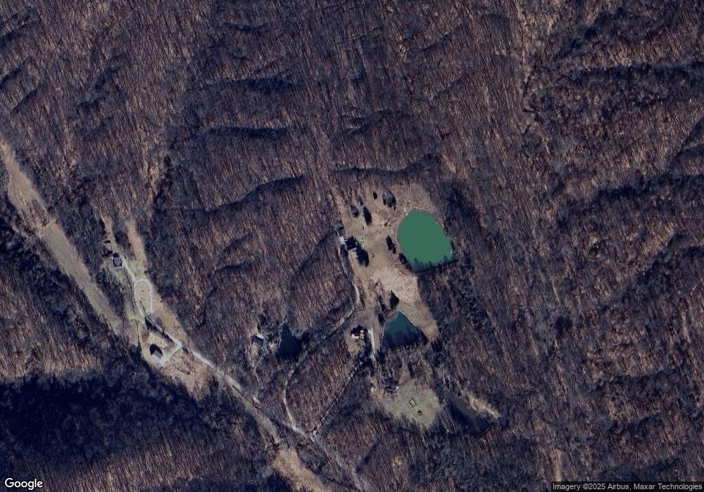
Map
Nearby Homes
- 6000 W County Road 700 N
- 6725 W County Road 700 N
- 6100 W County Road 700 N
- 5000 W County Road 700 N
- 7594 W County Road 925 N
- 5000 W County Road 680 N
- 8000 W County Road 625 Tract 4 N
- 9649 N County Road 450 W
- 8000 W County Road 625 N Unit LotWP004
- 3000 W Block Co Rd 900 N
- 11000 N County Road 650 W
- 4325 N County Road 650 W
- 9601 Buffalo Pike
- 2221 Indiana 258
- 2000 Block W 1125 N
- 8650 Mount Nebo Rd
- 8515 N County Road 100 W
- 3780 W County Road 300 N
- 7932 S Mount Nebo Rd
- 7693 S Bob Allen Rd
- 8019 N County Road 640 W
- 8005 N County Road 640 W
- 8129 N County Road 640 W
- 6581 W County Road 760 N
- 7800 N County Road 600 W
- 7742 N County Road 700 W
- 11000 N Block State Rd 135
- 0 W 450 Unit MBR3169J
- 7690 N County Road 675 W
- 7610 N County Road 675 W
- 7580 N County Road 675 W
- 7567 N County Road 675 W
- 7574 N County Road 675 W
- 7751 N County Road 600 W
- 6056 W County Road 750 N
- 7301 N County Road 675 W
- 6432 W County Road 890 N
- 6452 W County Road 890 N
- 6452 W Co Rd 890
- 6152 W County Road 890 N