804 Brendle Trace Unit 45 Springfield, OH 45503
Estimated Value: $265,465 - $314,000
3
Beds
3
Baths
1,609
Sq Ft
$175/Sq Ft
Est. Value
About This Home
This home is located at 804 Brendle Trace Unit 45, Springfield, OH 45503 and is currently estimated at $282,116, approximately $175 per square foot. 804 Brendle Trace Unit 45 is a home located in Clark County with nearby schools including Northridge Elementary School, Kenton Ridge Middle & High School, and Emmanuel Christian Academy.
Ownership History
Date
Name
Owned For
Owner Type
Purchase Details
Closed on
May 13, 2015
Sold by
Belt Eugene H
Bought by
Mccuistion Thomas M and Mccuistion Thomas Mervil
Current Estimated Value
Home Financials for this Owner
Home Financials are based on the most recent Mortgage that was taken out on this home.
Original Mortgage
$145,600
Interest Rate
3.64%
Mortgage Type
Purchase Money Mortgage
Purchase Details
Closed on
Apr 23, 2014
Sold by
Belt Eugene H and Mcguff Belt Mary Lou
Bought by
Belt Eugene H
Purchase Details
Closed on
Jul 27, 1999
Sold by
Hoppes Builders & Development Co
Bought by
Belt Eugene H and Mcguff Belt Mary Lou
Home Financials for this Owner
Home Financials are based on the most recent Mortgage that was taken out on this home.
Original Mortgage
$125,950
Interest Rate
6%
Create a Home Valuation Report for This Property
The Home Valuation Report is an in-depth analysis detailing your home's value as well as a comparison with similar homes in the area
Home Values in the Area
Average Home Value in this Area
Purchase History
| Date | Buyer | Sale Price | Title Company |
|---|---|---|---|
| Mccuistion Thomas M | $162,000 | Attorney | |
| Belt Eugene H | -- | Attorney | |
| Belt Eugene H | $157,500 | -- |
Source: Public Records
Mortgage History
| Date | Status | Borrower | Loan Amount |
|---|---|---|---|
| Closed | Mccuistion Thomas M | $145,600 | |
| Closed | Belt Eugene H | $125,950 |
Source: Public Records
Tax History
| Year | Tax Paid | Tax Assessment Tax Assessment Total Assessment is a certain percentage of the fair market value that is determined by local assessors to be the total taxable value of land and additions on the property. | Land | Improvement |
|---|---|---|---|---|
| 2025 | $4,432 | $76,340 | $12,250 | $64,090 |
| 2024 | $2,844 | $65,930 | $10,500 | $55,430 |
| 2023 | $2,844 | $65,930 | $10,500 | $55,430 |
| 2022 | $2,854 | $65,930 | $10,500 | $55,430 |
| 2021 | $2,904 | $56,880 | $8,750 | $48,130 |
| 2020 | $2,907 | $56,880 | $8,750 | $48,130 |
| 2019 | $2,961 | $56,880 | $8,750 | $48,130 |
| 2018 | $2,869 | $52,860 | $8,750 | $44,110 |
| 2017 | $2,467 | $52,906 | $8,750 | $44,156 |
| 2016 | $2,450 | $52,906 | $8,750 | $44,156 |
| 2015 | $2,180 | $51,629 | $8,750 | $42,879 |
| 2014 | $2,179 | $51,629 | $8,750 | $42,879 |
| 2013 | $1,065 | $51,629 | $8,750 | $42,879 |
Source: Public Records
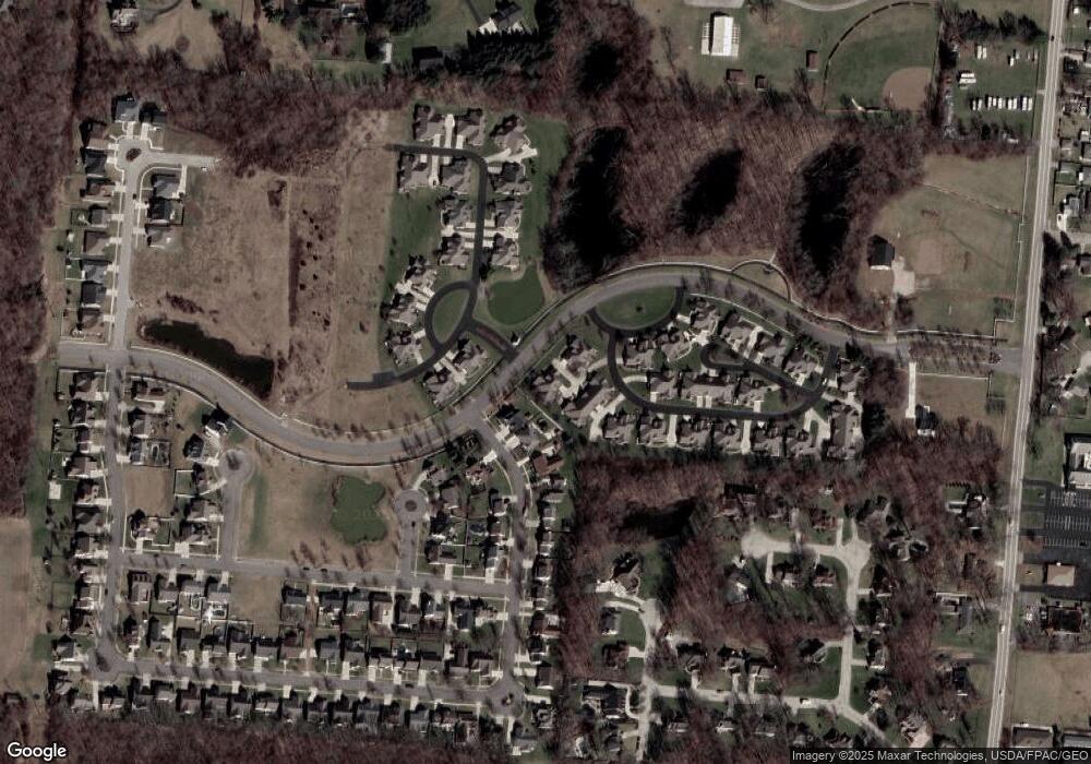
Map
Nearby Homes
- 862 Brendle Trace Unit 20
- 593 Hiser Ave
- 4741 Cullen Ave
- 4343 Burchill St
- 4802 Willowbrook Dr
- 1341 Student Ave
- 0 Moorefield Rd
- 4256 Midfield St Unit 9
- 4446 Ridgewood Rd E Unit 3
- 5033 Ridgewood Rd E
- 1521 Erika Dr
- 1709 Thomas Dr
- 4652 Reno Ln Unit 15
- 1162 Kingsgate Rd
- 1201 Kingsgate Rd
- 5564 Ridgewood Rd W
- 5564 Ridgewood Rd E Unit 7
- 5722 Victorian Way Unit 31
- 937 Willow Rd
- 1707 Berwick Dr
- 802 Brendle Trace Unit 46
- 1 Hunt Pkwy
- 26 Hunt Pkwy
- 808 Brendle Trace Unit 43
- 806 Brendle Trace Unit 44
- 4540 Dowden St
- 4536 Dowden St
- 780 Deerfield Trail Unit 10
- 4532 Dowden St
- 778 Deerfield Trail Unit 9
- 818 Brendle Trace Unit 37
- 824 Brendle Trace Unit 12
- 822 Foley Cir Unit 11
- 776 Deerfield Trail Unit 8
- 774 Deerfield Trail Unit 7
- 4535 Dowden St
- 4526 Dowden St
- 826 Brendle Trace Unit 35
- 830 Brendle Trace Unit 14
- 832 Brendle Trace Unit 13
Your Personal Tour Guide
Ask me questions while you tour the home.