Estimated Value: $254,000 - $315,000
3
Beds
2
Baths
1,887
Sq Ft
$150/Sq Ft
Est. Value
About This Home
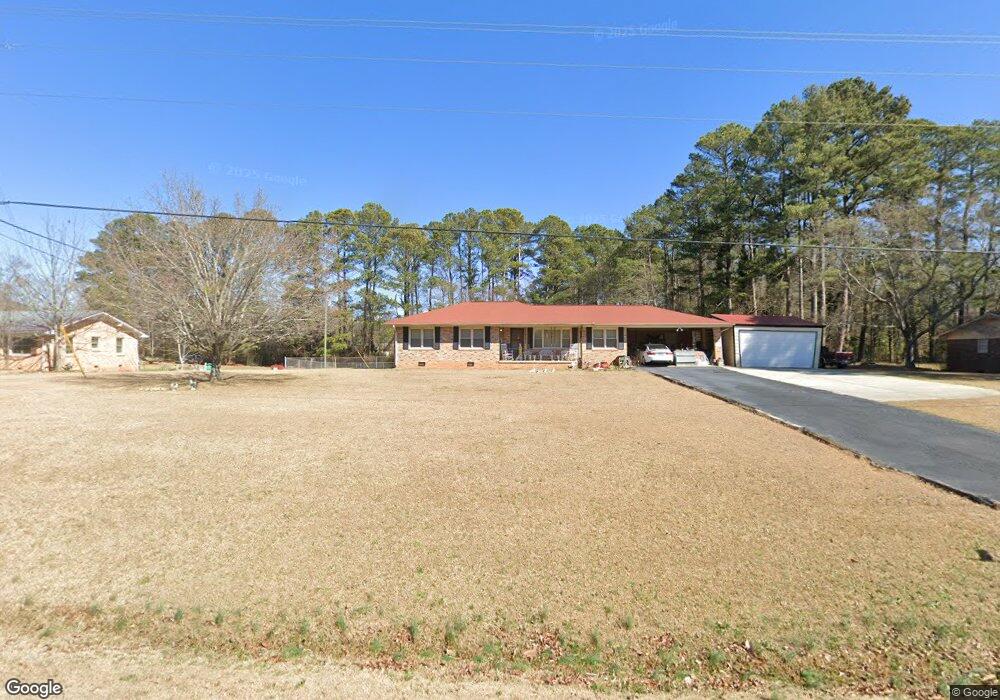
This home is located at 804 Glenn Carrie Rd, Hull, GA 30646 and is currently estimated at $283,780, approximately $150 per square foot. 804 Glenn Carrie Rd is a home located in Madison County with nearby schools including Madison County High School.
Ownership History
Date
Name
Owned For
Owner Type
Purchase Details
Closed on
Oct 25, 2004
Sold by
Brooks Thomas and Brooks Rebe
Bought by
Moss Will A
Current Estimated Value
Purchase Details
Closed on
May 22, 1998
Sold by
Gowan Melissa Escoe
Bought by
Brooks Thomas and Brooks Rebe
Purchase Details
Closed on
Sep 10, 1996
Bought by
Gowan Melissa Escoe
Create a Home Valuation Report for This Property
The Home Valuation Report is an in-depth analysis detailing your home's value as well as a comparison with similar homes in the area
Home Values in the Area
Average Home Value in this Area
Purchase History
| Date | Buyer | Sale Price | Title Company |
|---|---|---|---|
| Moss Will A | $144,000 | -- | |
| Brooks Thomas | $100,300 | -- | |
| Gowan Melissa Escoe | $84,500 | -- |
Source: Public Records
Tax History Compared to Growth
Tax History
| Year | Tax Paid | Tax Assessment Tax Assessment Total Assessment is a certain percentage of the fair market value that is determined by local assessors to be the total taxable value of land and additions on the property. | Land | Improvement |
|---|---|---|---|---|
| 2024 | $1,774 | $78,155 | $8,948 | $69,207 |
| 2023 | $2,209 | $72,358 | $7,457 | $64,901 |
| 2022 | $1,455 | $62,768 | $5,126 | $57,642 |
| 2021 | $1,469 | $50,128 | $5,125 | $45,003 |
| 2020 | $1,457 | $49,382 | $4,380 | $45,002 |
| 2019 | $1,445 | $48,474 | $4,380 | $44,094 |
| 2018 | $1,403 | $46,995 | $4,007 | $42,988 |
| 2017 | $1,230 | $42,722 | $3,728 | $38,994 |
| 2016 | $1,022 | $37,592 | $3,388 | $34,204 |
| 2015 | $1,022 | $37,592 | $3,388 | $34,204 |
| 2014 | $1,042 | $38,072 | $3,392 | $34,680 |
| 2013 | -- | $38,072 | $3,392 | $34,680 |
Source: Public Records
Map
Nearby Homes
- 0 Virginia Ln Unit Lot 15 CL336098
- 0 Virginia Ln Unit LOT 15 10579204
- 838 Virginia Ln
- 0 Woodland Creek Place Unit 10421130
- 181 Bedford Dr
- 525 Virginia Ln
- 685 Bedford Dr
- 151 Rolling Woods Ln
- 481 Bedford Dr
- 136 Wellington Dr
- 540 & 542 Harve Mathis Rd
- 1329 Spratlin Mill Dr
- 1309 Hull Rd
- 300 Harve Mathis Rd
- 0 Spratlin Mill Rd Unit 1025918
- 0 Spratlin Mill Rd Unit 10526335
- 8986 Highway 29 S
- 0 Spratlin Mill Dr Unit 7665837
- 0 Spratlin Mill Dr Unit LOT 14-C
- 840 Glenn Carrie Rd
- 768 Glenn Carrie Rd
- 864 Glenn Carrie Rd
- 390 Brownwood Dr
- 789 Glenn Carrie Rd
- 841 Glenn Carrie Rd
- 765 Glenn Carrie Rd
- 360 Brownwood Dr
- 900 Glenn Carrie Rd
- 881 Glenn Carrie Rd
- 370 - 412 Brownwood Dr
- 720 Glenn Carrie Rd
- 745 Glenn Carrie Rd
- 328 Brownwood Dr
- 1055 Virginia Ln
- 391 Brownwood Dr
- 915 Glenn Carrie Rd
- 411 Brownwood Dr
- 1085 Virginia Ln