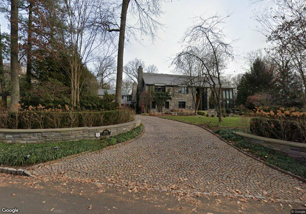
804 Ramapo Way Westfield, NJ 07090
Estimated Value: $4,182,839 - $5,290,000
--
Bed
--
Bath
8,147
Sq Ft
$599/Sq Ft
Est. Value
About This Home
This home is located at 804 Ramapo Way, Westfield, NJ 07090 and is currently estimated at $4,881,280, approximately $599 per square foot. 804 Ramapo Way is a home located in Union County with nearby schools including Franklin Elementary School, Roosevelt Intermediate School, and Westfield Senior High School.
Ownership History
Date
Name
Owned For
Owner Type
Purchase Details
Closed on
Apr 22, 2021
Sold by
Spass Susan L
Bought by
Spass Susan L and Isanuk Barry
Current Estimated Value
Purchase Details
Closed on
Feb 1, 2021
Sold by
Spass Robert A and Spass Susan L
Bought by
Spass Susan L
Purchase Details
Closed on
Apr 30, 1997
Sold by
Hennessey Charle K and Mannino Stephanie S
Bought by
Spass Robert A and Spass Susan L
Create a Home Valuation Report for This Property
The Home Valuation Report is an in-depth analysis detailing your home's value as well as a comparison with similar homes in the area
Home Values in the Area
Average Home Value in this Area
Purchase History
| Date | Buyer | Sale Price | Title Company |
|---|---|---|---|
| Spass Susan L | -- | Titlevest Agency Llc | |
| Spass Susan L | -- | Titlevest Agency Llc | |
| Spass Robert A | $1,299,000 | -- |
Source: Public Records
Tax History Compared to Growth
Tax History
| Year | Tax Paid | Tax Assessment Tax Assessment Total Assessment is a certain percentage of the fair market value that is determined by local assessors to be the total taxable value of land and additions on the property. | Land | Improvement |
|---|---|---|---|---|
| 2025 | $83,817 | $3,721,900 | $1,243,200 | $2,478,700 |
| 2024 | $82,105 | $3,721,900 | $1,243,200 | $2,478,700 |
| 2023 | $82,105 | $3,721,900 | $1,243,200 | $2,478,700 |
| 2022 | $78,700 | $3,643,500 | $1,243,200 | $2,400,300 |
| 2021 | $78,809 | $3,643,500 | $1,243,200 | $2,400,300 |
| 2020 | $78,627 | $3,643,500 | $1,243,200 | $2,400,300 |
| 2019 | $78,335 | $3,643,500 | $1,243,200 | $2,400,300 |
| 2018 | $61,881 | $665,600 | $246,400 | $419,200 |
| 2017 | $60,635 | $655,800 | $246,400 | $409,400 |
| 2016 | $58,689 | $650,000 | $246,400 | $403,600 |
| 2015 | $57,519 | $650,000 | $246,400 | $403,600 |
| 2014 | $55,621 | $650,000 | $246,400 | $403,600 |
Source: Public Records
Map
Nearby Homes
- 740 Lawrence Ave
- 559 Lawrence Ave
- 143 Stanmore Place
- 304 E Dudley Ave
- 819 Standish Ave
- 415 Highland Ave
- 113 Barchester Way
- 11 Mountainview Dr
- 1163 Lawrence Ave
- 303 Prospect St
- 869 Standish Ave
- 1463 Dunn Pkwy
- 508 N Chestnut St
- 260 Prospect St Unit C15
- 350 W Dudley Ave
- 2588 Liberty Ave
- 2406 Park Place
- 232 Beechwood Ct
- 766 Oak Ave
- 2398 Hamlette Place
- 820 Ramapo Way
- 279 Watchung Fork
- 104 Watchung Fork
- 112 Watchung Fork
- 805 Ramapo Way
- 821 Ramapo Way
- 268 Watchung Fork
- 287 Watchung Fork
- 288 Watchung Fork
- 240 Watchung Fork
- 852 Ramapo Way
- 776 Lenape Trail
- 225 Watchung Fork
- 763 Lawrence Ave
- 745 Lenape Trail
- 295 Watchung Fork
- 784 Lenape Trail
- 207 Watchung Fork
- 837 Ramapo Way
- 232 Watchung Fork