Estimated Value: $7,935,000 - $13,783,865
3
Beds
4
Baths
4,198
Sq Ft
$2,587/Sq Ft
Est. Value
About This Home
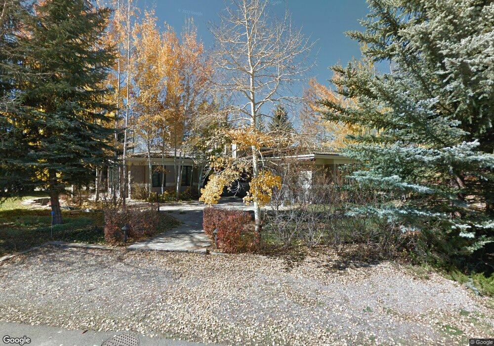
This home is located at 804 Roaring Fork Rd, Aspen, CO 81611 and is currently estimated at $10,859,433, approximately $2,586 per square foot. 804 Roaring Fork Rd is a home located in Pitkin County with nearby schools including Aspen Elementary School, Aspen Middle School, and Aspen High School.
Ownership History
Date
Name
Owned For
Owner Type
Purchase Details
Closed on
Dec 24, 2025
Sold by
Moss Charles B
Bought by
Cook Ann
Current Estimated Value
Purchase Details
Closed on
May 30, 2025
Sold by
Moss Charles B and Cook Ann H
Bought by
Moss Charles B
Purchase Details
Closed on
Apr 16, 2021
Sold by
Moss Charles B and Cook Ann H
Bought by
Moss Hcarles B and Moss Ann H
Purchase Details
Closed on
Jul 14, 2017
Sold by
Plaza Llc
Bought by
Moss Charles B and Cook Ann H
Purchase Details
Closed on
Apr 25, 2017
Sold by
Aspen 805 Llc
Bought by
Plaza Llc
Purchase Details
Closed on
Dec 5, 2007
Sold by
Chambers Merle C
Bought by
Aspen 805 Llc
Create a Home Valuation Report for This Property
The Home Valuation Report is an in-depth analysis detailing your home's value as well as a comparison with similar homes in the area
Home Values in the Area
Average Home Value in this Area
Purchase History
| Date | Buyer | Sale Price | Title Company |
|---|---|---|---|
| Cook Ann | -- | None Listed On Document | |
| Moss Charles B | -- | None Listed On Document | |
| Moss Hcarles B | -- | None Available | |
| Moss Charles B | $8,900,000 | None Available | |
| Plaza Llc | -- | None Available | |
| Aspen 805 Llc | -- | None Available |
Source: Public Records
Tax History
| Year | Tax Paid | Tax Assessment Tax Assessment Total Assessment is a certain percentage of the fair market value that is determined by local assessors to be the total taxable value of land and additions on the property. | Land | Improvement |
|---|---|---|---|---|
| 2025 | $50,979 | $1,378,530 | $562,500 | $816,030 |
| 2024 | $50,979 | $1,620,390 | $601,630 | $1,018,760 |
| 2023 | $53,270 | $1,638,820 | $608,850 | $1,029,970 |
| 2022 | $36,727 | $1,001,760 | $387,810 | $613,950 |
| 2021 | $36,568 | $1,030,590 | $398,970 | $631,620 |
| 2020 | $32,090 | $898,200 | $393,250 | $504,950 |
| 2019 | $16,993 | $475,640 | $393,250 | $82,390 |
| 2018 | $21,668 | $478,970 | $396,000 | $82,970 |
| 2017 | $19,119 | $601,110 | $381,600 | $219,510 |
| 2016 | $19,191 | $590,980 | $390,040 | $200,940 |
| 2015 | $18,943 | $590,980 | $390,040 | $200,940 |
| 2014 | $13,925 | $415,150 | $318,400 | $96,750 |
Source: Public Records
Map
Nearby Homes
- 433 W Gillespie St
- 411 Pearl Ct
- 614 W North St
- 406 W Smuggler St
- 965 & 969 W Smuggler St
- 947 TBD W Smuggler St
- 622 W Smuggler St
- 502 N 6th St
- 721 W North St
- 500 W Francis St Unit 1
- 734 W Smuggler St Unit A
- City TDR Usws-L2-04
- 715 W Smuggler St
- 810 W Smuggler St
- 506 W Hallam St
- 504 N 8th St
- 813 W Smuggler St
- 716 & 718 W Hallam St
- 800 Ridge Rd Unit 9
- 645 Willoughby Way
- 805 Roaring Fork Rd
- 895 Roaring Fork Rd
- 800 Roaring Fork Rd
- 815 Roaring Fork Rd
- 885 Roaring Fork Rd
- 802 Roaring Fork Rd
- 820 Roaring Fork Rd
- 875 Roaring Fork Rd
- 330 W Gillespie St
- 102 Wood Duck Ln
- 314 W Gillespie St
- 825 Roaring Fork Rd
- 312 W Gillespie St
- 865 Roaring Fork Rd
- 410 Lake Ave
- 707 N 3rd St
- 433 Gillespie Ave
- 406 Pearl Ct
- 830 Roaring Fork Rd
- 710 N 3rd St Unit A
Your Personal Tour Guide
Ask me questions while you tour the home.