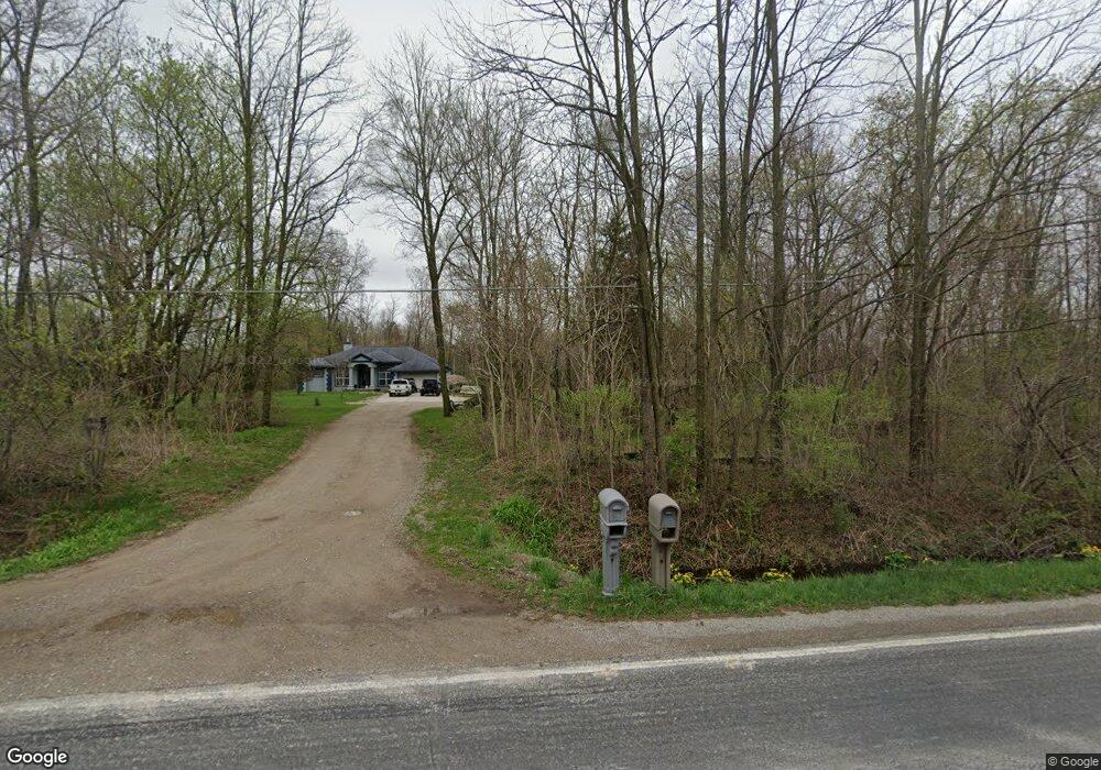
8041 Frances Rd Unit Bldg-Unit Flushing, MI 48433
Estimated Value: $337,000 - $401,015
4
Beds
2
Baths
1,797
Sq Ft
$211/Sq Ft
Est. Value
About This Home
This home is located at 8041 Frances Rd Unit Bldg-Unit, Flushing, MI 48433 and is currently estimated at $379,504, approximately $211 per square foot. 8041 Frances Rd Unit Bldg-Unit is a home located in Genesee County with nearby schools including Carter Elementary School, Kuehn-Haven Middle School, and Hill-McCloy High School.
Ownership History
Date
Name
Owned For
Owner Type
Purchase Details
Closed on
Jul 16, 2018
Sold by
Cromwell Clides and Cromwell Jana
Bought by
Deloney Zachary
Current Estimated Value
Home Financials for this Owner
Home Financials are based on the most recent Mortgage that was taken out on this home.
Original Mortgage
$241,052
Outstanding Balance
$209,461
Interest Rate
4.62%
Mortgage Type
FHA
Estimated Equity
$170,043
Create a Home Valuation Report for This Property
The Home Valuation Report is an in-depth analysis detailing your home's value as well as a comparison with similar homes in the area
Home Values in the Area
Average Home Value in this Area
Purchase History
| Date | Buyer | Sale Price | Title Company |
|---|---|---|---|
| Deloney Zachary | $245,500 | Garrow Title Agency Llc |
Source: Public Records
Mortgage History
| Date | Status | Borrower | Loan Amount |
|---|---|---|---|
| Open | Deloney Zachary | $241,052 |
Source: Public Records
Tax History
| Year | Tax Paid | Tax Assessment Tax Assessment Total Assessment is a certain percentage of the fair market value that is determined by local assessors to be the total taxable value of land and additions on the property. | Land | Improvement |
|---|---|---|---|---|
| 2025 | $5,581 | $193,500 | $0 | $0 |
| 2024 | $1,657 | $186,700 | $0 | $0 |
| 2023 | $1,581 | $166,300 | $0 | $0 |
| 2022 | $4,968 | $149,200 | $0 | $0 |
| 2021 | $4,924 | $141,600 | $0 | $0 |
| 2020 | $1,446 | $133,500 | $0 | $0 |
| 2019 | $1,423 | $122,600 | $0 | $0 |
| 2018 | $3,028 | $86,400 | $0 | $0 |
| 2017 | $881 | $86,400 | $0 | $0 |
| 2016 | $2,799 | $80,400 | $0 | $0 |
| 2015 | $2,627 | $78,700 | $0 | $0 |
| 2014 | $856 | $75,800 | $0 | $0 |
| 2012 | -- | $72,900 | $72,900 | $0 |
Source: Public Records
Map
Nearby Homes
- 7267 109th St
- 7452 Dodge Rd
- 7181 W Mount Morris Rd
- 9222 N Mckinley Rd
- 8522 Tim Tam Trail
- 8548 Tim Tam Trail
- 255 Grissom Ct
- 271 Lovell Ct
- 7067 W Stanley Rd
- 5430 W Frances Rd
- 11107 N Elms Rd
- 10195 Dodge Rd
- 6355 N Mckinley Rd
- 10149 Seymour Rd
- 9031 N Island Dr Unit 29
- 0 N Island Dr Unit 20230029447
- 8171 N Linden Rd
- 9207 N Island Ct Unit 12
- 5465 Johnson Rd
- 8073 Nichols Rd
- 8041 Frances Rd
- 8046 Frances Rd
- 8489 Morrish Rd
- 8095 Frances Rd
- 8070 Frances Rd
- 9016 River Grove Rd
- 8540 Morrish Rd
- 8548 Morrish Rd
- 8556 Morrish Rd
- 9040 River Grove Rd
- 8518 Morrish Rd
- 8498 Morrish Rd
- 8459 Morrish Rd
- 9086 River Grove Rd
- 9086 River Grove Rd
- 9086 River Grove Rd
- 8010 Frances Rd
- 8486 Morrish Rd
- 8472 Morrish Rd
- 9055 River Grove Rd
Your Personal Tour Guide
Ask me questions while you tour the home.