8042 Poor Farm Rd Fulton, MO 65251
Estimated Value: $251,000 - $336,000
3
Beds
2
Baths
1,700
Sq Ft
$180/Sq Ft
Est. Value
About This Home
This home is located at 8042 Poor Farm Rd, Fulton, MO 65251 and is currently estimated at $305,816, approximately $179 per square foot. 8042 Poor Farm Rd is a home located in Callaway County with nearby schools including South Callaway Elementary School, South Callaway Middle School, and South Callaway High School.
Ownership History
Date
Name
Owned For
Owner Type
Purchase Details
Closed on
Jul 1, 2011
Sold by
Smith Clayton and Smith Roseland H
Bought by
Miskimen Kerry and Miskimen Teresa
Current Estimated Value
Purchase Details
Closed on
Jul 25, 2008
Sold by
Uk Property Development Llc
Bought by
Smith Roy Clayton and Smith Rozaland H
Home Financials for this Owner
Home Financials are based on the most recent Mortgage that was taken out on this home.
Original Mortgage
$119,200
Interest Rate
6.78%
Mortgage Type
New Conventional
Create a Home Valuation Report for This Property
The Home Valuation Report is an in-depth analysis detailing your home's value as well as a comparison with similar homes in the area
Home Values in the Area
Average Home Value in this Area
Purchase History
| Date | Buyer | Sale Price | Title Company |
|---|---|---|---|
| Miskimen Kerry | -- | -- | |
| Smith Roy Clayton | -- | None Available |
Source: Public Records
Mortgage History
| Date | Status | Borrower | Loan Amount |
|---|---|---|---|
| Previous Owner | Smith Roy Clayton | $119,200 |
Source: Public Records
Tax History Compared to Growth
Tax History
| Year | Tax Paid | Tax Assessment Tax Assessment Total Assessment is a certain percentage of the fair market value that is determined by local assessors to be the total taxable value of land and additions on the property. | Land | Improvement |
|---|---|---|---|---|
| 2024 | $1,195 | $30,374 | $0 | $0 |
| 2023 | $1,195 | $29,899 | $0 | $0 |
| 2022 | $1,176 | $29,899 | $1,716 | $28,183 |
| 2021 | $1,179 | $29,899 | $1,716 | $28,183 |
| 2020 | $1,138 | $28,820 | $1,716 | $27,104 |
| 2019 | $1,116 | $28,820 | $1,716 | $27,104 |
| 2018 | $1,119 | $28,820 | $1,716 | $27,104 |
| 2017 | $941 | $24,248 | $1,541 | $22,707 |
| 2016 | $940 | $24,250 | $0 | $0 |
| 2015 | $940 | $24,250 | $0 | $0 |
| 2014 | $921 | $23,950 | $0 | $0 |
Source: Public Records
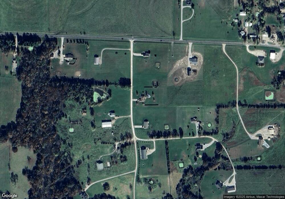
Map
Nearby Homes
- 7058 County Rd 409
- 7512 County Rd
- 7058 County Road 409
- 6675 Longhorn Dr
- 4805 County Road 421
- 6198 Shady Hills Ln
- 0 15 + - Acres County Rd 404
- TBD 15 + - Acres County Rd 404
- 0 County Road 433
- Rte O Unit Lawrence Hollow
- TBD County Road 433
- 250 Tennyson Rd
- 3.69 ACRES Tennyson Rd
- 1385 Erik Place
- 5084 Red Maple Ln Unit 5084
- 8240 County Road 449
- 1950 S Business 54
- 528 Kinleigh Dr
- Lot 21 Prairie Estates
- 8010 Poor Farm Rd
- Lot 6 Prairie Estates
- Lot 5 Prairie Estates
- 8 Poor Farm Rd
- 8057 Poor Farm Rd
- 6137 Davis Prairie Rd
- 6120 Davis Prairie Rd
- 3 Highway C
- 0 Poor Farm Rd
- 0 Davis Prairie Rd
- 6140 Davis Prairie Trail
- 6140 Davis Prairie Rd
- 8044 Poor Farm Rd
- 8029 State Road C
- 8070 Poor Farm Rd
- 8005 State Road C
- 8005 State Road C Unit C
- 8012 State Road C
- 8157 Poor Farm Rd