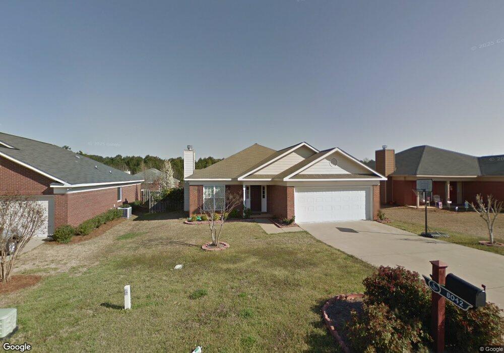
8042 Silverado Dr Columbus, GA 31909
Midland NeighborhoodEstimated Value: $247,255 - $262,000
3
Beds
3
Baths
1,615
Sq Ft
$159/Sq Ft
Est. Value
About This Home
This home is located at 8042 Silverado Dr, Columbus, GA 31909 and is currently estimated at $256,064, approximately $158 per square foot. 8042 Silverado Dr is a home located in Muscogee County with nearby schools including Midland Academy, Blackmon Road Middle School, and Shaw High School.
Ownership History
Date
Name
Owned For
Owner Type
Purchase Details
Closed on
Nov 4, 2025
Sold by
Avila-Barra Dora Alicia
Bought by
Per Elgquist And Alicia Avila Living Trust and Elgquist
Current Estimated Value
Purchase Details
Closed on
May 11, 2007
Sold by
Grayhawk Homes Inc
Bought by
Mayne Carl W
Home Financials for this Owner
Home Financials are based on the most recent Mortgage that was taken out on this home.
Original Mortgage
$155,900
Interest Rate
6.12%
Mortgage Type
Purchase Money Mortgage
Create a Home Valuation Report for This Property
The Home Valuation Report is an in-depth analysis detailing your home's value as well as a comparison with similar homes in the area
Home Values in the Area
Average Home Value in this Area
Purchase History
| Date | Buyer | Sale Price | Title Company |
|---|---|---|---|
| Per Elgquist And Alicia Avila Living Trust | -- | None Listed On Document | |
| Mayne Carl W | $181,900 | None Available |
Source: Public Records
Mortgage History
| Date | Status | Borrower | Loan Amount |
|---|---|---|---|
| Previous Owner | Mayne Carl W | $155,900 |
Source: Public Records
Tax History
| Year | Tax Paid | Tax Assessment Tax Assessment Total Assessment is a certain percentage of the fair market value that is determined by local assessors to be the total taxable value of land and additions on the property. | Land | Improvement |
|---|---|---|---|---|
| 2025 | $2,319 | $89,268 | $13,412 | $75,856 |
| 2024 | $2,317 | $89,268 | $13,412 | $75,856 |
| 2023 | $1,638 | $89,268 | $13,412 | $75,856 |
| 2022 | $2,417 | $70,824 | $13,412 | $57,412 |
| 2021 | $2,420 | $63,392 | $13,412 | $49,980 |
| 2020 | $2,411 | $63,392 | $13,412 | $49,980 |
| 2019 | $2,420 | $62,604 | $13,412 | $49,192 |
| 2018 | $2,420 | $62,400 | $13,412 | $48,988 |
| 2017 | $2,429 | $62,400 | $13,412 | $48,988 |
| 2016 | $2,440 | $72,413 | $15,744 | $56,669 |
| 2015 | $2,443 | $72,413 | $15,744 | $56,669 |
| 2014 | $2,447 | $72,413 | $15,744 | $56,669 |
| 2013 | -- | $72,413 | $15,744 | $56,669 |
Source: Public Records
Map
Nearby Homes
- 9028 Scottsdale Ct
- 9020 Scottsdale Ct
- 7389 Sorrel Ct
- 7378 San Vista Dr
- 2991 Slippery Rock Ct
- 5170 Midland Trace
- 5912 Big Oak Dr
- 8091 Turtle Creek Dr
- 7168 Pinewood Ct
- 5135 Midland Trace
- 6528 Yellow Stone Ct
- 6502 Tidewater Ct
- 9199 Travelers Way
- 7187 Citation Dr
- 4618 Thoroughbred Ln
- 2630 Spring Chapel Ct
- 5041 Montego Dr
- 4826 Teak Dr
- 5042 Foxfire Dr
- 5045 Old Post Rd
- 8038 Silverado Dr
- 8046 Silverado Dr
- 8034 Silverado Dr
- 8071 Santee Ct
- 8075 Santee Ct
- 8050 Silverado Dr
- 8067 Santee Ct
- 8079 Santee Ct
- 9046 Sonoma Pointe Dr
- 8054 Silverado Dr
- 8063 Santee Ct
- 8030 Silverado Dr
- 8049 Silverado Dr
- 9041 Sonoma Pointe Dr
- 8083 Santee Ct
- 8058 Silverado Dr
- 8059 Santee Ct
- 8026 Silverado Dr
- 9042 Sonoma Pointe Dr
- 8087 Santee Ct
Your Personal Tour Guide
Ask me questions while you tour the home.