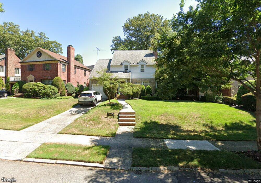
8045 222nd St Queens Village, NY 11427
Oakland Gardens NeighborhoodEstimated Value: $1,201,845 - $1,742,000
--
Bed
--
Bath
1,978
Sq Ft
$714/Sq Ft
Est. Value
About This Home
This home is located at 8045 222nd St, Queens Village, NY 11427 and is currently estimated at $1,412,711, approximately $714 per square foot. 8045 222nd St is a home located in Queens County with nearby schools including P.S. 188 - Kingsbury, Irwin Altman Middle School 172, and Martin Van Buren High School.
Ownership History
Date
Name
Owned For
Owner Type
Purchase Details
Closed on
Jul 13, 1990
Sold by
Bateman Kitty Belsky and Paves Leroy
Bought by
Bateman Kitty Belsky
Current Estimated Value
Create a Home Valuation Report for This Property
The Home Valuation Report is an in-depth analysis detailing your home's value as well as a comparison with similar homes in the area
Home Values in the Area
Average Home Value in this Area
Purchase History
| Date | Buyer | Sale Price | Title Company |
|---|---|---|---|
| Bateman Kitty Belsky | -- | -- |
Source: Public Records
Tax History Compared to Growth
Tax History
| Year | Tax Paid | Tax Assessment Tax Assessment Total Assessment is a certain percentage of the fair market value that is determined by local assessors to be the total taxable value of land and additions on the property. | Land | Improvement |
|---|---|---|---|---|
| 2025 | $11,679 | $61,638 | $18,759 | $42,879 |
| 2024 | $11,679 | $58,150 | $19,130 | $39,020 |
| 2023 | $11,141 | $54,859 | $19,958 | $34,901 |
| 2022 | $10,332 | $59,460 | $22,680 | $36,780 |
| 2021 | $10,892 | $60,840 | $22,680 | $38,160 |
| 2020 | $10,872 | $62,760 | $22,680 | $40,080 |
| 2019 | $10,137 | $65,340 | $22,680 | $42,660 |
| 2018 | $9,022 | $45,716 | $19,011 | $26,705 |
| 2017 | $8,492 | $43,130 | $18,568 | $24,562 |
| 2016 | $8,312 | $43,130 | $18,568 | $24,562 |
| 2015 | $4,688 | $42,804 | $20,291 | $22,513 |
| 2014 | $4,688 | $40,382 | $19,186 | $21,196 |
Source: Public Records
Map
Nearby Homes
- 80-67 222nd St
- 8068 Springfield Blvd
- 78-47 222nd St
- 80-35 Springfield Blvd Unit 6F
- 22424 Union Turnpike Unit 1H
- 224-24 Union Turnpike Unit 2N
- 224-24 Union Turnpike Unit 2B
- 219-44 Peck Ave
- 78-07 Springfield Blvd Unit B
- 7807 Springfield Blvd Unit B
- 220-08 Stronghurst Ave Unit 220-08
- 226-26 Union Turnpike Unit 2-C
- 226-26 Union Turnpike Unit 3-O
- 226-26 Union Turnpike Unit 5F
- 220-06 Stronghurst Ave
- 220-06 Stronghurst Ave Unit Lower
- 220-06 Stronghurst Ave Unit Upper
- 80-35 Springfield Blvd Unit E-6
- 220-04 Stronghurst Ave Unit 18-5
- 226-01 Union Turnpike Unit A