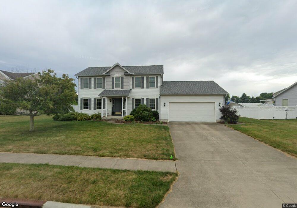
8045 Maxim Cir NE Canton, OH 44721
Estimated Value: $320,000 - $347,000
4
Beds
3
Baths
1,848
Sq Ft
$179/Sq Ft
Est. Value
About This Home
This home is located at 8045 Maxim Cir NE, Canton, OH 44721 and is currently estimated at $331,071, approximately $179 per square foot. 8045 Maxim Cir NE is a home located in Stark County with nearby schools including Middlebranch Elementary School, Oakwood Middle School, and GlenOak High School.
Ownership History
Date
Name
Owned For
Owner Type
Purchase Details
Closed on
Mar 8, 2023
Sold by
Rittman Rebecca A
Bought by
Rittman Lawrence T
Current Estimated Value
Purchase Details
Closed on
Feb 17, 2005
Sold by
21St Homes Inc
Bought by
Rittman Lawrence T and Rittman Rebecca A
Home Financials for this Owner
Home Financials are based on the most recent Mortgage that was taken out on this home.
Original Mortgage
$144,000
Interest Rate
5.8%
Mortgage Type
Purchase Money Mortgage
Purchase Details
Closed on
Nov 28, 2003
Sold by
The Captens Group
Bought by
Blue Diamond Development Llc
Create a Home Valuation Report for This Property
The Home Valuation Report is an in-depth analysis detailing your home's value as well as a comparison with similar homes in the area
Home Values in the Area
Average Home Value in this Area
Purchase History
| Date | Buyer | Sale Price | Title Company |
|---|---|---|---|
| Rittman Lawrence T | -- | -- | |
| Rittman Lawrence T | $180,000 | -- | |
| Blue Diamond Development Llc | -- | -- |
Source: Public Records
Mortgage History
| Date | Status | Borrower | Loan Amount |
|---|---|---|---|
| Previous Owner | Rittman Lawrence T | $144,000 | |
| Closed | Rittman Lawrence T | $18,000 |
Source: Public Records
Tax History Compared to Growth
Tax History
| Year | Tax Paid | Tax Assessment Tax Assessment Total Assessment is a certain percentage of the fair market value that is determined by local assessors to be the total taxable value of land and additions on the property. | Land | Improvement |
|---|---|---|---|---|
| 2025 | -- | $98,700 | $29,470 | $69,230 |
| 2024 | -- | $98,700 | $29,470 | $69,230 |
| 2023 | $3,216 | $67,630 | $21,390 | $46,240 |
| 2022 | $3,213 | $67,630 | $21,390 | $46,240 |
| 2021 | $3,222 | $67,630 | $21,390 | $46,240 |
| 2020 | $3,067 | $58,460 | $18,450 | $40,010 |
| 2019 | $3,044 | $58,460 | $18,450 | $40,010 |
| 2018 | $3,008 | $58,460 | $18,450 | $40,010 |
| 2017 | $3,089 | $55,300 | $17,850 | $37,450 |
| 2016 | $3,104 | $55,300 | $17,850 | $37,450 |
| 2015 | $3,012 | $55,300 | $17,850 | $37,450 |
| 2014 | $661 | $47,460 | $14,980 | $32,480 |
| 2013 | $1,264 | $47,460 | $14,980 | $32,480 |
Source: Public Records
Map
Nearby Homes
- 2623 Notre Dame St NE
- 2518 Jasper St NE
- 3064 Diamond St NE
- Elder Plan at Sparwood Farms
- Aspen Plan at Sparwood Farms
- Tupelo Plan at Sparwood Farms
- Spruce Plan at Sparwood Farms
- Cedar Plan at Sparwood Farms
- 8314 Sapphire Ave NE
- 8418 Fernie Ave NE
- 2414 Mount Pleasant St NE
- 7606 Knollridge Ave NE
- 7431 Middlebranch Ave NE
- 3151 Knollridge Cir NE
- 3404 Wicker St NE
- 7192 Middlebranch Ave NE
- 3339 Boettler St NE
- 3461 Donegal Dr NE
- 6930 Firestone Rd NE
- 7023 Chatfield Ave NE
- 8057 Maxim Cir NE
- 2718 Captens St NE
- 2741 Diamond St NE
- 2725 Diamond St NE
- 8046 Maxim Cir NE
- 2706 Captens St NE
- 8027 Maxim Cir NE
- 2754 Captens St NE
- 8024 Maxim Cir NE
- 8034 Maxim Cir NE
- 2709 Diamond St NE
- 2694 Captens St NE
- 8026 Maxim Cir NE
- 2737 Captens St NE
- 2713 Captens St NE
- 2693 Diamond St NE
- 8081 Middlebranch Ave NE
- 2780 Captens St NE
- 2678 Captens St NE
- 2691 Captens St NE