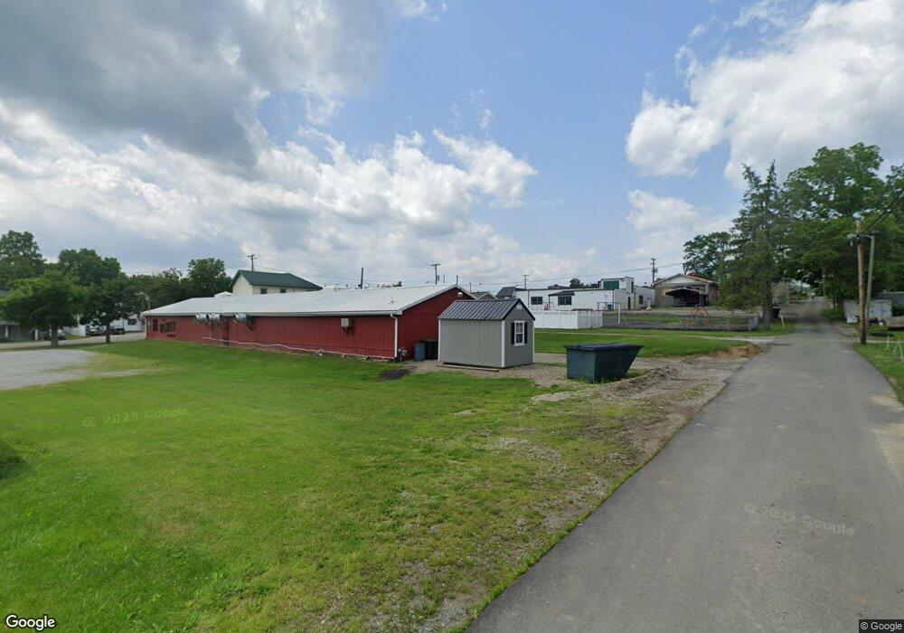
80450 Croskey Rd Freeport, OH 43973
Estimated Value: $262,000 - $601,329
1
Bed
2
Baths
1,080
Sq Ft
$400/Sq Ft
Est. Value
About This Home
This home is located at 80450 Croskey Rd, Freeport, OH 43973 and is currently estimated at $431,665, approximately $399 per square foot. 80450 Croskey Rd is a home located in Harrison County with nearby schools including Harrison Central Elementary School and Harrison Central Junior/Senior High School.
Ownership History
Date
Name
Owned For
Owner Type
Purchase Details
Closed on
Jul 15, 2020
Sold by
Enos Keith and Enos Mary K
Bought by
Meyerl Jeffrey and Meyerl Donna
Current Estimated Value
Purchase Details
Closed on
Jul 10, 2017
Sold by
Dodd Phillip B and Bologna Julie R
Bought by
Enos Keith and Enos Mary K
Home Financials for this Owner
Home Financials are based on the most recent Mortgage that was taken out on this home.
Original Mortgage
$381,596
Outstanding Balance
$201,873
Interest Rate
3.95%
Mortgage Type
Commercial
Estimated Equity
$229,792
Create a Home Valuation Report for This Property
The Home Valuation Report is an in-depth analysis detailing your home's value as well as a comparison with similar homes in the area
Home Values in the Area
Average Home Value in this Area
Purchase History
| Date | Buyer | Sale Price | Title Company |
|---|---|---|---|
| Meyerl Jeffrey | $434,250 | American Homeland Title | |
| Enos Keith | $383,525 | Walnut Ridge Title Pick Up |
Source: Public Records
Mortgage History
| Date | Status | Borrower | Loan Amount |
|---|---|---|---|
| Open | Enos Keith | $381,596 |
Source: Public Records
Tax History Compared to Growth
Tax History
| Year | Tax Paid | Tax Assessment Tax Assessment Total Assessment is a certain percentage of the fair market value that is determined by local assessors to be the total taxable value of land and additions on the property. | Land | Improvement |
|---|---|---|---|---|
| 2024 | $2,285 | $64,660 | $23,360 | $41,300 |
| 2023 | $2,285 | $64,660 | $23,360 | $41,300 |
| 2022 | $2,234 | $23,150 | $23,150 | $0 |
| 2021 | $856 | $23,150 | $23,150 | $0 |
| 2020 | $577 | $15,660 | $15,660 | $0 |
| 2019 | $577 | $15,660 | $15,660 | $0 |
| 2018 | $577 | $15,660 | $15,660 | $0 |
| 2017 | $292 | $15,660 | $15,660 | $0 |
| 2016 | $627 | $15,660 | $15,660 | $0 |
| 2015 | $627 | $15,660 | $15,660 | $0 |
| 2014 | $461 | $13,420 | $13,420 | $0 |
| 2013 | $461 | $13,420 | $13,420 | $0 |
Source: Public Records
Map
Nearby Homes
- 0 E Market St
- 804 E Market St
- 44208 Meadowlark Ln
- 254 S Buffalo St
- 203 Roan Ave
- 390 Oak Park Rd
- 388 N Main St
- 265 Old Steubenville Pike
- 273 Old Steubenville Pike
- 150 E South St
- 647 Kerr Ave
- 419 Saint Clair Ave
- 413 Saint Clair Ave
- 207 Maplewood Dr
- 0 N Main St Unit 5153554
- 608 Kerr Ave
- 593 Dewey Ave
- 75601 16th Rd
- 508 Lower Lincoln
- 616 Mccready Ave