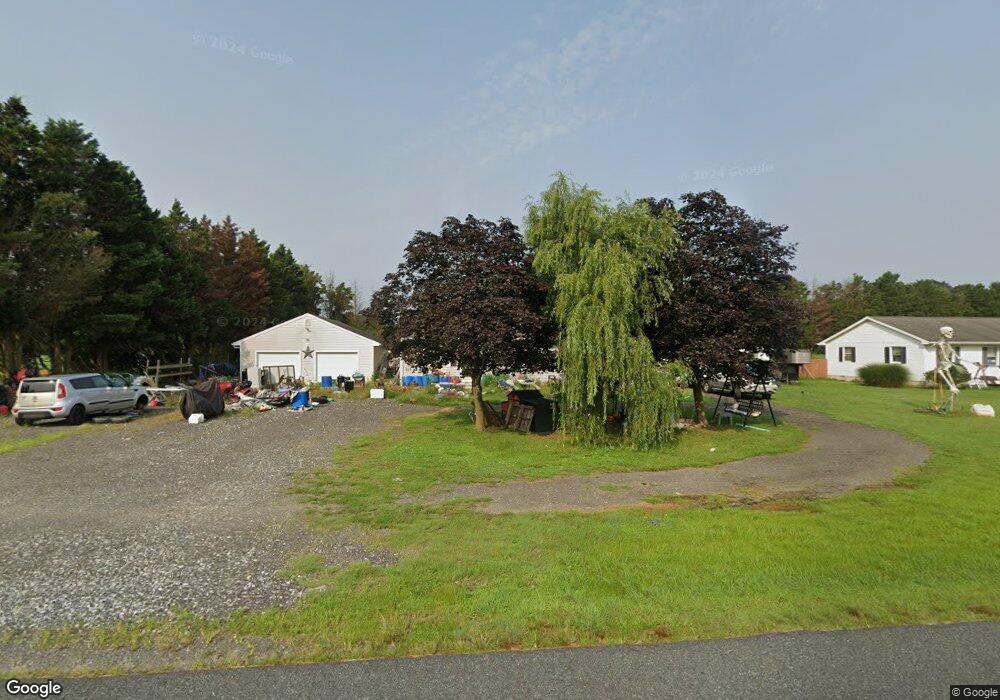
8048 N West Rd Salisbury, MD 21801
North Salisbury NeighborhoodEstimated Value: $232,000 - $280,000
3
Beds
1
Bath
1,120
Sq Ft
$225/Sq Ft
Est. Value
About This Home
This home is located at 8048 N West Rd, Salisbury, MD 21801 and is currently estimated at $252,202, approximately $225 per square foot. 8048 N West Rd is a home located in Wicomico County with nearby schools including Westside Primary School, Westside Intermediate School, and Salisbury Middle School.
Ownership History
Date
Name
Owned For
Owner Type
Purchase Details
Closed on
Jul 23, 2010
Sold by
Beneficial Mortgage Company Of
Bought by
Ball Margaret
Current Estimated Value
Purchase Details
Closed on
Jul 23, 1987
Sold by
Twilley William L
Bought by
Manning Gregory and Manning Penny
Home Financials for this Owner
Home Financials are based on the most recent Mortgage that was taken out on this home.
Original Mortgage
$50,600
Interest Rate
10.23%
Create a Home Valuation Report for This Property
The Home Valuation Report is an in-depth analysis detailing your home's value as well as a comparison with similar homes in the area
Home Values in the Area
Average Home Value in this Area
Purchase History
| Date | Buyer | Sale Price | Title Company |
|---|---|---|---|
| Ball Margaret | $136,900 | -- | |
| Beneficial Mortgage Company Of Maryland | $107,788 | -- | |
| Manning Gregory | $8,000 | -- |
Source: Public Records
Mortgage History
| Date | Status | Borrower | Loan Amount |
|---|---|---|---|
| Previous Owner | Manning Gregory | $50,600 | |
| Closed | Ball Margaret | -- |
Source: Public Records
Tax History Compared to Growth
Tax History
| Year | Tax Paid | Tax Assessment Tax Assessment Total Assessment is a certain percentage of the fair market value that is determined by local assessors to be the total taxable value of land and additions on the property. | Land | Improvement |
|---|---|---|---|---|
| 2025 | $1,479 | $159,233 | $0 | $0 |
| 2024 | $1,479 | $147,967 | $0 | $0 |
| 2023 | $1,411 | $136,700 | $30,500 | $106,200 |
| 2022 | $1,432 | $134,633 | $0 | $0 |
| 2021 | $1,406 | $132,567 | $0 | $0 |
| 2020 | $1,406 | $130,500 | $30,500 | $100,000 |
| 2019 | $1,397 | $127,767 | $0 | $0 |
| 2018 | $1,375 | $125,033 | $0 | $0 |
| 2017 | $1,346 | $122,300 | $0 | $0 |
| 2016 | -- | $118,433 | $0 | $0 |
| 2015 | $1,164 | $114,567 | $0 | $0 |
| 2014 | $1,164 | $110,700 | $0 | $0 |
Source: Public Records
Map
Nearby Homes
- 0 Log Cabin Rd
- 0 Milford Twilley Dr Unit MDWC2013476
- 7877 Bennett Park Dr
- 28955 Log Cabin Rd
- 0 Stanton Ave
- 28600 Naylor Mill Rd
- 7545 Titleist Dr
- 1707 West Rd
- Lot D5 International Dr
- Lot B7 Westwood Dr
- Lot B6 Westwood Dr
- 7453 Titleist Dr
- Lot C2 International Dr
- 667 Cook Dr
- 29167 Doubletree Dr
- 1816 Ocean Shore Dr
- 1621 Waconia Dr
- 1817 Ocean Shore Ln
- 1618 West Rd
- 922 Marquis Ave
- 8058 N West Rd
- 8068 N West Rd
- 8015 N West Rd
- 8011 N West Rd
- 8218 N West Rd
- 28573 Log Cabin Rd
- 28771 Log Cabin Rd
- 7851 N West Rd
- 8322 N West Rd
- N West Rd
- 28643 Log Cabin Rd
- 28843 Log Cabin Rd
- 8321 N West Rd
- 28890 Naylor Mill Rd
- 8185 White Lowe Rd
- 5565 Plantation Ln
- 28521 Log Cabin Rd
- 8187 White Lowe Rd
- 28564 Log Cabin Rd
- 28564 Log Cabin Rd