80489 Green Point Rd Clatskanie, OR 97016
Estimated Value: $306,000 - $381,000
3
Beds
1
Bath
1,180
Sq Ft
$293/Sq Ft
Est. Value
About This Home
This home is located at 80489 Green Point Rd, Clatskanie, OR 97016 and is currently estimated at $346,260, approximately $293 per square foot. 80489 Green Point Rd is a home located in Columbia County with nearby schools including Clatskanie Elementary School and Clatskanie Middle/High School.
Ownership History
Date
Name
Owned For
Owner Type
Purchase Details
Closed on
Oct 19, 2021
Sold by
Hughes James J
Bought by
Berndt Mark
Current Estimated Value
Purchase Details
Closed on
Mar 2, 2009
Sold by
National City Bank
Bought by
Hughes James J
Home Financials for this Owner
Home Financials are based on the most recent Mortgage that was taken out on this home.
Original Mortgage
$116,729
Interest Rate
4.99%
Mortgage Type
VA
Purchase Details
Closed on
Jul 2, 2007
Sold by
Davis Jack K
Bought by
Mayger Alliance Group Llc
Create a Home Valuation Report for This Property
The Home Valuation Report is an in-depth analysis detailing your home's value as well as a comparison with similar homes in the area
Home Values in the Area
Average Home Value in this Area
Purchase History
| Date | Buyer | Sale Price | Title Company |
|---|---|---|---|
| Berndt Mark | $155,500 | Ticor Title | |
| Hughes James J | $113,000 | First Amer Title Ins Co Or | |
| Mayger Alliance Group Llc | $185,000 | None Available |
Source: Public Records
Mortgage History
| Date | Status | Borrower | Loan Amount |
|---|---|---|---|
| Previous Owner | Hughes James J | $116,729 |
Source: Public Records
Tax History Compared to Growth
Tax History
| Year | Tax Paid | Tax Assessment Tax Assessment Total Assessment is a certain percentage of the fair market value that is determined by local assessors to be the total taxable value of land and additions on the property. | Land | Improvement |
|---|---|---|---|---|
| 2024 | $2,066 | $175,270 | $73,520 | $101,750 |
| 2023 | $2,057 | $170,170 | $67,810 | $102,360 |
| 2022 | $1,970 | $165,220 | $65,380 | $99,840 |
| 2021 | $1,917 | $160,410 | $53,040 | $107,370 |
| 2020 | $1,892 | $155,740 | $49,830 | $105,910 |
| 2019 | $1,849 | $151,210 | $47,880 | $103,330 |
| 2018 | $1,783 | $146,810 | $57,720 | $89,090 |
| 2017 | $1,783 | $142,540 | $56,040 | $86,500 |
| 2016 | $1,733 | $138,390 | $54,410 | $83,980 |
| 2015 | $1,680 | $134,360 | $61,270 | $73,090 |
| 2014 | $1,510 | $121,060 | $56,930 | $64,130 |
Source: Public Records
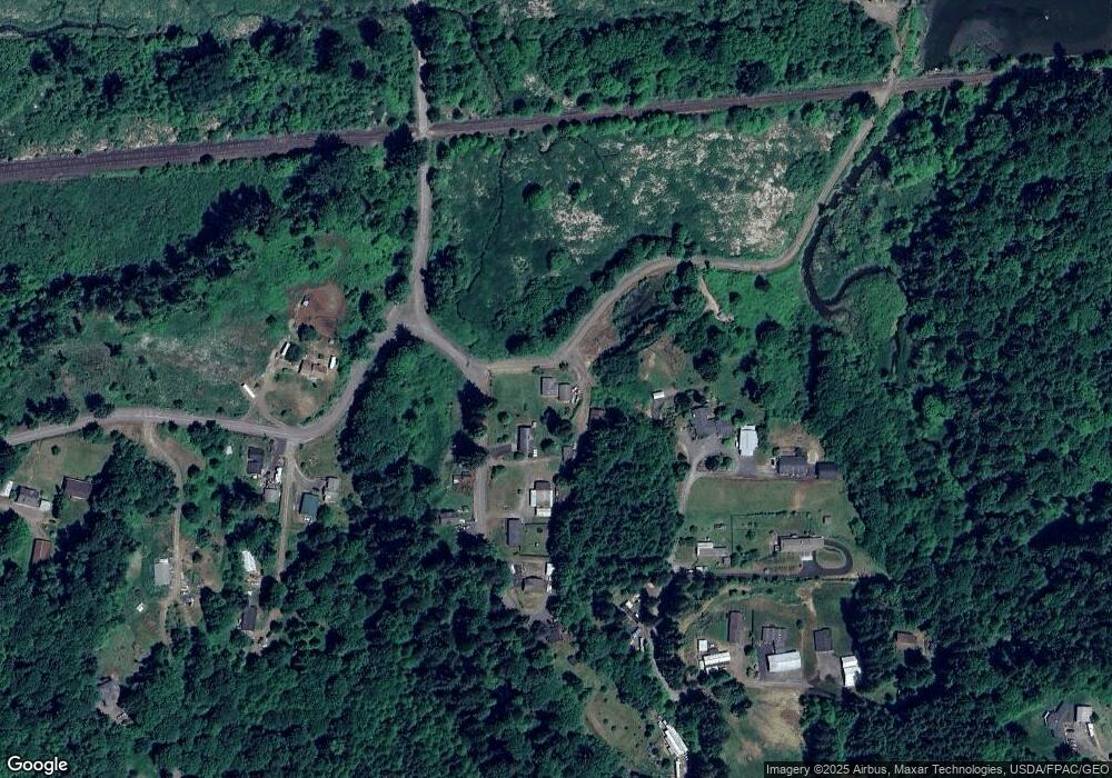
Map
Nearby Homes
- 0 Bodine Rd
- 266 Columbia Point Rd
- 145 Newt Estates Rd
- 171 Newt Estates Rd W
- 3015 Stella Rd
- 20599 Ilmari Rd
- 7002 Ocean Beach Hwy
- 6238 Willow Grove Rd
- 549 Diebert Rd
- 1210 Stella Rd
- 183 Redbud Rd
- 551 Fall Creek Rd
- 79319 Charity Ln
- 9070 Ocean Beach Hwy
- 0 Barlow Point Rd Unit 11556216
- 151 Barlow Point Rd
- 160 Reid Ln
- 258 Wake Robin
- 230 Eufaula Heights Rd
- 1842 Island Dr
- 80452 Alston Mayger Rd
- 80458 Green Point Rd
- 80849 Green Point Rd
- 80425 Mayger Rd
- 80425 Alston Mayger Rd
- 80398 Alston Mayger Rd
- 22714 Fish Station Rd
- 22716 Fish Station Rd
- 80488 Quincy Mayger Rd
- 80487 Quincy Mayger Rd
- 80372 Alston Mayger Rd
- 80446 Green Point Rd
- 80398 Green Point Rd
- 22647 Mayger Heights Ln
- 80486 Quincy Mayger Rd
- 22659 Mayger Heights Ln
- 80490 Quincy Mayger Rd
- 22721 Mayger Heights Ln
- 80268 Alston Mayger Rd
- 80754 Mayger Fill Rd