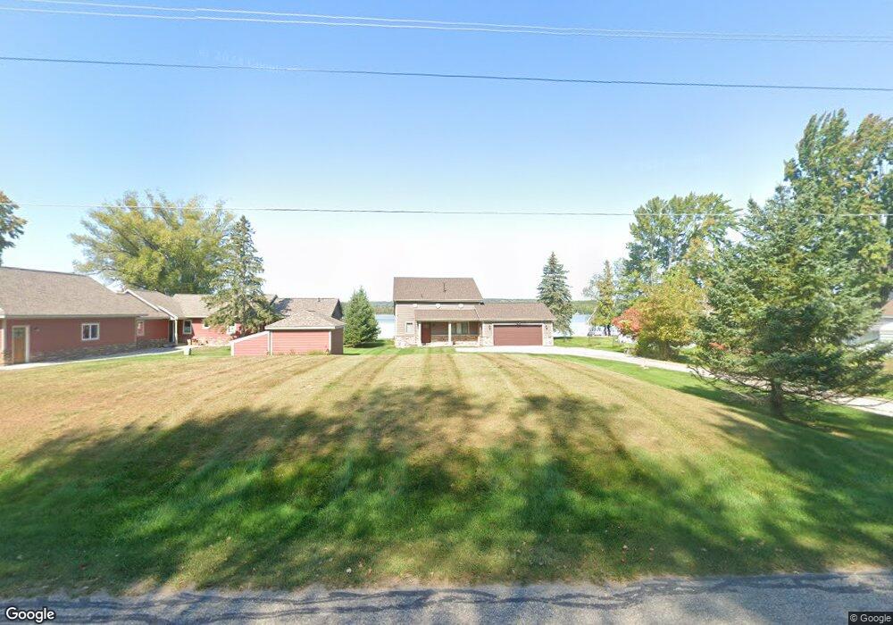
8049 Channel Rd Petoskey, MI 49770
Estimated Value: $686,807 - $842,000
Studio
--
Bath
1,192
Sq Ft
$647/Sq Ft
Est. Value
About This Home
This home is located at 8049 Channel Rd, Petoskey, MI 49770 and is currently estimated at $771,202, approximately $646 per square foot. 8049 Channel Rd is a home located in Emmet County with nearby schools including Petoskey High School.
Ownership History
Date
Name
Owned For
Owner Type
Purchase Details
Closed on
Jun 24, 2008
Sold by
Kruskie James C and Kruskie Mary Ann
Bought by
Foster Alonzo and Foster Susan M
Current Estimated Value
Purchase Details
Closed on
Aug 29, 2007
Sold by
Krusell Donald F and Krusell Gloria J
Bought by
Kruskie James C and Kruskie Mary Ann
Home Financials for this Owner
Home Financials are based on the most recent Mortgage that was taken out on this home.
Original Mortgage
$308,750
Interest Rate
6.71%
Purchase Details
Closed on
Apr 1, 1984
Bought by
Krusell
Create a Home Valuation Report for This Property
The Home Valuation Report is an in-depth analysis detailing your home's value as well as a comparison with similar homes in the area
Purchase History
| Date | Buyer | Sale Price | Title Company |
|---|---|---|---|
| Foster Alonzo | $275,000 | -- | |
| Kruskie James C | $325,000 | -- | |
| Krusell | $66,000 | -- |
Source: Public Records
Mortgage History
| Date | Status | Borrower | Loan Amount |
|---|---|---|---|
| Previous Owner | Kruskie James C | $308,750 |
Source: Public Records
Tax History
| Year | Tax Paid | Tax Assessment Tax Assessment Total Assessment is a certain percentage of the fair market value that is determined by local assessors to be the total taxable value of land and additions on the property. | Land | Improvement |
|---|---|---|---|---|
| 2025 | $5,394 | $462,800 | $0 | $462,800 |
| 2024 | $22 | $419,300 | $0 | $419,300 |
| 2023 | $4,965 | $308,700 | $0 | $308,700 |
| 2022 | $4,965 | $264,000 | $0 | $264,000 |
| 2021 | $4,806 | $250,300 | $0 | $250,300 |
| 2020 | $4,669 | $242,100 | $0 | $242,100 |
| 2019 | -- | $234,900 | $500 | $234,400 |
| 2018 | -- | $219,400 | $500 | $218,900 |
| 2017 | -- | $162,700 | $500 | $162,200 |
| 2016 | -- | $139,300 | $500 | $138,800 |
| 2015 | -- | $133,000 | $0 | $0 |
| 2014 | -- | $120,100 | $0 | $0 |
Source: Public Records
Map
Nearby Homes
- Lot 3 Leeward Dr
- 8855 Blumke Rd
- 4874 Indiana Point
- TBD Maple Isle Ct Unit s 33 & 34
- TBD Maple Isle Ct Unit 34
- TBD Maple Isle Ct Unit 33
- Unit 51 Sunset Blvd
- 4700 Oden Rd Unit 1
- 6412 Lora Bette Dr
- 6436 Lora Bette Dr
- 6379 Sunset Blvd
- 8849 Blumke Rd
- 8503 S Us 31 Hwy
- 8425 S Us 31 Hwy Unit Parcel A
- 8425 S Us 31 Hwy Unit Parcel B
- 4362 High St
- 8018 Lake St
- 9555 Trails End Rd
- 3734 Oden Rd
- 3670 Oden Rd Unit 5
- 8057 Channel Rd
- 8037 Channel Rd
- 8065 Channel Rd
- 8073 Channel Rd
- 8025 Channel Rd
- 8081 Channel Rd
- 8013 Channel Rd
- 8097 Channel Rd
- 8001 Channel Rd
- 8040 Channel Rd
- 7973 Channel Rd
- 8121 Channel Rd
- 7969 Channel Rd
- 7965 Channel Rd
- 8133 Channel Rd
- 8170 Channel Rd
- 8173 Channel Rd
- 7941 Channel Rd
- 8193 Channel Rd
- 7909 Channel Rd
Your Personal Tour Guide
Ask me questions while you tour the home.