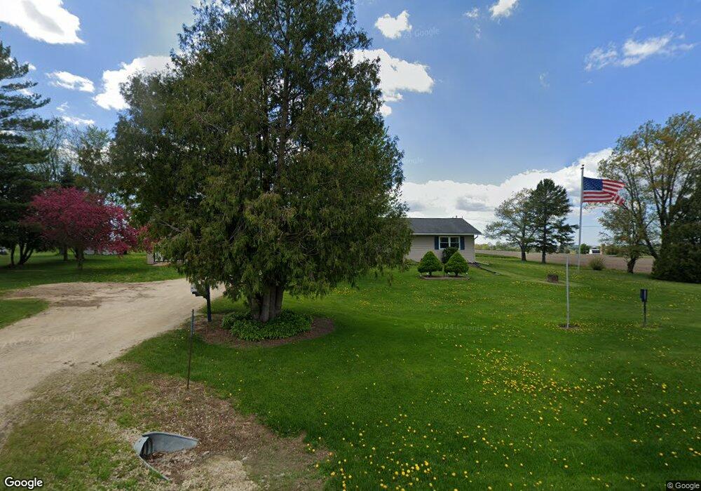
8049 County Rd W West Bend, WI 53090
Estimated Value: $366,132 - $370,000
--
Bed
--
Bath
--
Sq Ft
1.07
Acres
About This Home
This home is located at 8049 County Rd W, West Bend, WI 53090 and is currently estimated at $367,711. 8049 County Rd W is a home located in Washington County with nearby schools including Kewaskum High School.
Ownership History
Date
Name
Owned For
Owner Type
Purchase Details
Closed on
Jun 30, 2025
Sold by
Martin Ralph M and Martin Patricia M
Bought by
Kons Tanner and Kons Alaina
Current Estimated Value
Home Financials for this Owner
Home Financials are based on the most recent Mortgage that was taken out on this home.
Original Mortgage
$346,750
Outstanding Balance
$346,460
Interest Rate
6.89%
Mortgage Type
Purchase Money Mortgage
Estimated Equity
$21,251
Create a Home Valuation Report for This Property
The Home Valuation Report is an in-depth analysis detailing your home's value as well as a comparison with similar homes in the area
Home Values in the Area
Average Home Value in this Area
Purchase History
| Date | Buyer | Sale Price | Title Company |
|---|---|---|---|
| Kons Tanner | $365,000 | -- |
Source: Public Records
Mortgage History
| Date | Status | Borrower | Loan Amount |
|---|---|---|---|
| Open | Kons Tanner | $346,750 | |
| Previous Owner | Martin Ralph M | $50,000 |
Source: Public Records
Tax History Compared to Growth
Tax History
| Year | Tax Paid | Tax Assessment Tax Assessment Total Assessment is a certain percentage of the fair market value that is determined by local assessors to be the total taxable value of land and additions on the property. | Land | Improvement |
|---|---|---|---|---|
| 2024 | $1,985 | $185,600 | $38,800 | $146,800 |
| 2023 | $1,771 | $185,600 | $38,800 | $146,800 |
| 2022 | $1,616 | $185,600 | $38,800 | $146,800 |
| 2021 | $1,655 | $185,600 | $38,800 | $146,800 |
| 2020 | $1,721 | $185,600 | $38,800 | $146,800 |
| 2019 | $1,876 | $162,500 | $36,000 | $126,500 |
| 2018 | $1,872 | $162,500 | $36,000 | $126,500 |
| 2017 | $1,930 | $162,500 | $36,000 | $126,500 |
| 2016 | $1,891 | $162,500 | $36,000 | $126,500 |
| 2015 | $1,986 | $162,500 | $36,000 | $126,500 |
| 2014 | $1,986 | $162,500 | $36,000 | $126,500 |
| 2013 | $2,193 | $162,500 | $36,000 | $126,500 |
Source: Public Records
Map
Nearby Homes
- 7721 Aurora Rd
- 8480 Fairview Dr
- 5036 County Highway D
- Lt0 County Hwy W
- Lt2 Wilson Dr
- Lt1 Wilson Dr
- 5954 Mohawk Rd
- 7165 Town Line Rd
- Lt13 Eagle View Dr
- Lt1 Eagle View Dr
- Lt4 Eagle View Dr
- 7087 Nenno Rd
- 6372 Wildlife Rd
- W3099 Saint Killian Dr
- 6386 Alpine Dr
- Lt1 St Killian Dr
- 744 Ojibwe Path
- W4121 Saint Killian Dr
- Lt0 St Killian Dr
- 800 Chief Kewaskum Place
- 8029 County Rd W
- 8009 County Rd W
- 8108 County Rd W
- 5671 Butternut Dr
- 5635 Butternut Dr
- 5919 Butternut Dr
- 5918 Butternut Dr
- 5908 Butternut Dr
- 5930 Butternut Dr
- 5607 Butternut Dr
- 7921 County Rd W
- 5594 Butternut Dr
- Lt1 County Hwy W
- Lt1 County Hwy W Unit Lt1
- 0 Lt 1 Hy W
- 5585 Butternut Dr
- 8230 County Rd W
- 8111 Butternut Ct
- 8114 Butternut Ct
- 8138 Butternut Ct