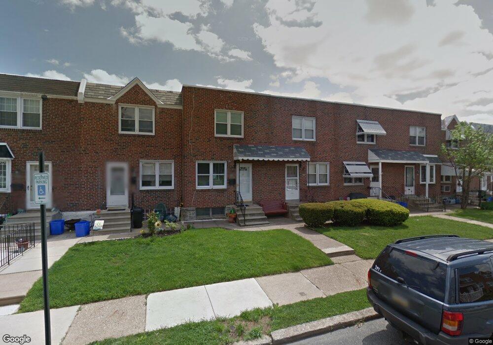
8049 Terry St Philadelphia, PA 19136
Holmesburg NeighborhoodEstimated Value: $206,490 - $267,000
3
Beds
1
Bath
914
Sq Ft
$254/Sq Ft
Est. Value
About This Home
This home is located at 8049 Terry St, Philadelphia, PA 19136 and is currently estimated at $232,373, approximately $254 per square foot. 8049 Terry St is a home located in Philadelphia County with nearby schools including Lincoln High School, Joseph H. Brown School, and Meehan Austin Middle School.
Ownership History
Date
Name
Owned For
Owner Type
Purchase Details
Closed on
Aug 28, 2003
Sold by
Kisselback Frederick J and Kisselback Mary A
Bought by
Shabrinsky Gayle
Current Estimated Value
Home Financials for this Owner
Home Financials are based on the most recent Mortgage that was taken out on this home.
Original Mortgage
$70,441
Outstanding Balance
$32,835
Interest Rate
6.31%
Mortgage Type
FHA
Estimated Equity
$199,538
Create a Home Valuation Report for This Property
The Home Valuation Report is an in-depth analysis detailing your home's value as well as a comparison with similar homes in the area
Home Values in the Area
Average Home Value in this Area
Purchase History
| Date | Buyer | Sale Price | Title Company |
|---|---|---|---|
| Shabrinsky Gayle | $71,000 | -- |
Source: Public Records
Mortgage History
| Date | Status | Borrower | Loan Amount |
|---|---|---|---|
| Open | Shabrinsky Gayle | $70,441 |
Source: Public Records
Tax History Compared to Growth
Tax History
| Year | Tax Paid | Tax Assessment Tax Assessment Total Assessment is a certain percentage of the fair market value that is determined by local assessors to be the total taxable value of land and additions on the property. | Land | Improvement |
|---|---|---|---|---|
| 2025 | $2,160 | $198,100 | $39,620 | $158,480 |
| 2024 | $2,160 | $198,100 | $39,620 | $158,480 |
| 2023 | $2,160 | $154,300 | $30,860 | $123,440 |
| 2022 | $1,139 | $109,300 | $30,860 | $78,440 |
| 2021 | $1,769 | $0 | $0 | $0 |
| 2020 | $1,769 | $0 | $0 | $0 |
| 2019 | $1,713 | $0 | $0 | $0 |
| 2018 | $1,142 | $0 | $0 | $0 |
| 2017 | $1,562 | $0 | $0 | $0 |
| 2016 | $1,142 | $0 | $0 | $0 |
| 2015 | $1,093 | $0 | $0 | $0 |
| 2014 | -- | $111,600 | $18,816 | $92,784 |
| 2012 | -- | $13,248 | $1,229 | $12,019 |
Source: Public Records
Map
Nearby Homes
- 8011 Crispin St
- 3438 Decatur St
- 3526 Welsh Rd
- 3515 Ashville St
- 3418 Stanwood St
- 3520 Ashville St
- 8048 Frankford Ave
- 3216 Stanwood St
- 3414 Hartel Ave
- 3420 Arthur St
- 3528 Hartel Ave
- 8053 Charles St
- 3615 Hartel Ave
- 3427 Arthur St
- 8209 Rowland Ave
- 4016 Decatur St
- 8056 Erdrick St
- 4128 Welsh Rd
- 3324 Lansing St
- 8072 Erdrick St