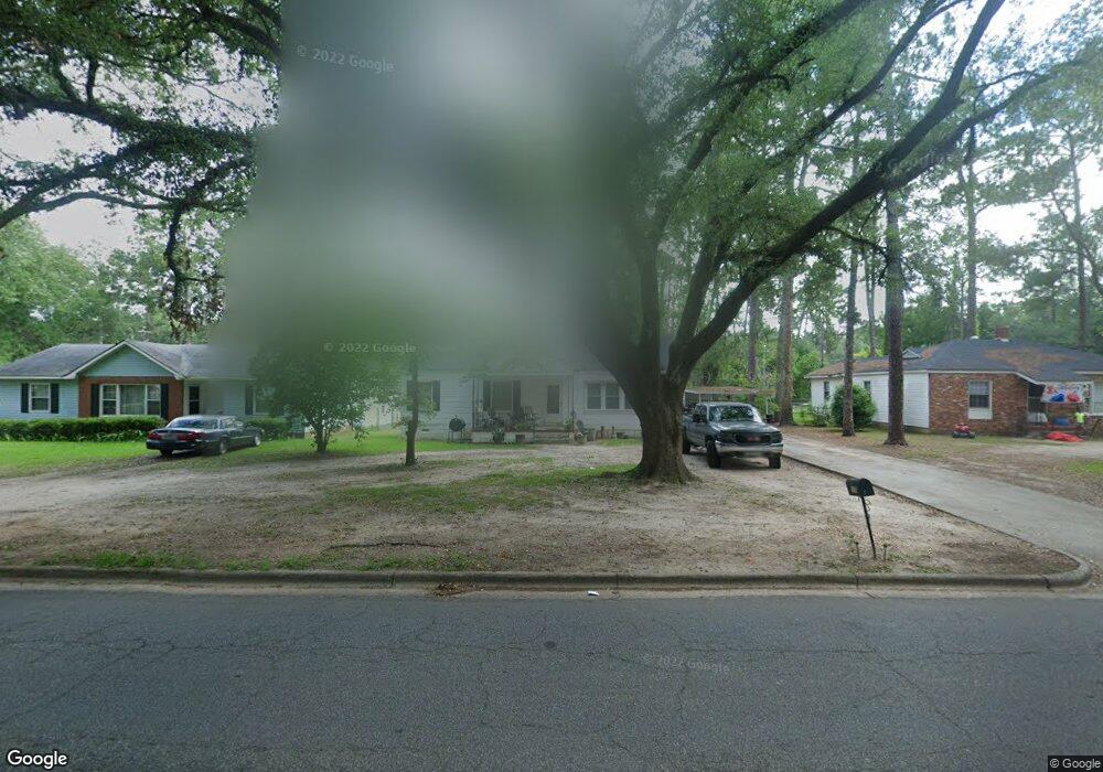
805 10th Ave Albany, GA 31701
Rawson Park NeighborhoodEstimated Value: $104,000 - $136,597
3
Beds
2
Baths
1,390
Sq Ft
$87/Sq Ft
Est. Value
About This Home
This home is located at 805 10th Ave, Albany, GA 31701 and is currently estimated at $121,399, approximately $87 per square foot. 805 10th Ave is a home located in Dougherty County with nearby schools including Northside Elementary School, Albany Middle School, and Albany High School.
Ownership History
Date
Name
Owned For
Owner Type
Purchase Details
Closed on
Mar 31, 2008
Sold by
Plantation Trace Propertie
Bought by
Mckinnon Thomas R
Current Estimated Value
Purchase Details
Closed on
Mar 31, 2005
Sold by
Bell Robert D
Bought by
Plantation Trace Properties Ll
Home Financials for this Owner
Home Financials are based on the most recent Mortgage that was taken out on this home.
Original Mortgage
$59,233
Interest Rate
5.74%
Mortgage Type
New Conventional
Purchase Details
Closed on
Dec 30, 1999
Sold by
Bradshaw Sadye Whitley
Bought by
Bell Robert D
Purchase Details
Closed on
Mar 16, 1989
Sold by
Banks Peggy Whitley
Bought by
Bradshaw Sadye
Create a Home Valuation Report for This Property
The Home Valuation Report is an in-depth analysis detailing your home's value as well as a comparison with similar homes in the area
Home Values in the Area
Average Home Value in this Area
Purchase History
| Date | Buyer | Sale Price | Title Company |
|---|---|---|---|
| Mckinnon Thomas R | $75,000 | -- | |
| Plantation Trace Properties Ll | $58,000 | -- | |
| Bell Robert D | $58,000 | -- | |
| Bradshaw Sadye | $20,000 | -- |
Source: Public Records
Mortgage History
| Date | Status | Borrower | Loan Amount |
|---|---|---|---|
| Previous Owner | Plantation Trace Properties Ll | $59,233 |
Source: Public Records
Tax History Compared to Growth
Tax History
| Year | Tax Paid | Tax Assessment Tax Assessment Total Assessment is a certain percentage of the fair market value that is determined by local assessors to be the total taxable value of land and additions on the property. | Land | Improvement |
|---|---|---|---|---|
| 2024 | $1,572 | $32,960 | $6,640 | $26,320 |
| 2023 | $1,536 | $32,960 | $6,640 | $26,320 |
| 2022 | $1,541 | $32,960 | $6,640 | $26,320 |
| 2021 | $1,429 | $32,960 | $6,640 | $26,320 |
| 2020 | $1,432 | $32,960 | $6,640 | $26,320 |
| 2019 | $1,438 | $32,960 | $6,640 | $26,320 |
| 2018 | $1,444 | $32,960 | $6,640 | $26,320 |
| 2017 | $1,345 | $32,960 | $6,640 | $26,320 |
| 2016 | $1,346 | $32,960 | $6,640 | $26,320 |
| 2015 | $1,349 | $32,960 | $6,640 | $26,320 |
| 2014 | $1,347 | $33,320 | $7,000 | $26,320 |
Source: Public Records
Map
Nearby Homes