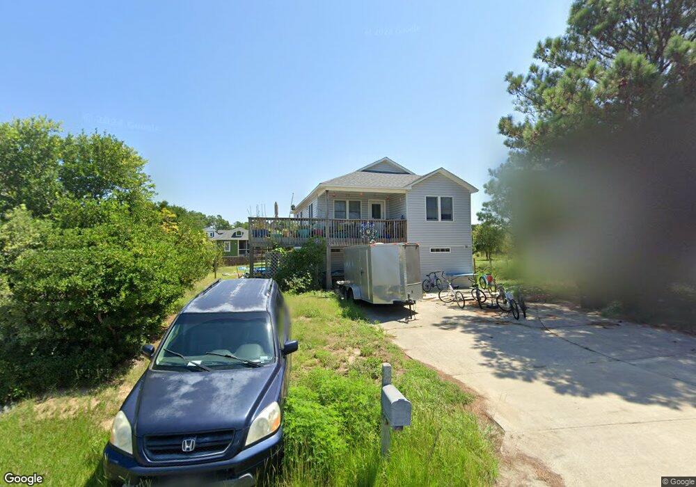
805 7th Ave Unit 8 Kill Devil Hills, NC 27948
Estimated Value: $592,000 - $670,000
3
Beds
3
Baths
2,347
Sq Ft
$262/Sq Ft
Est. Value
About This Home
This home is located at 805 7th Ave Unit 8, Kill Devil Hills, NC 27948 and is currently estimated at $615,241, approximately $262 per square foot. 805 7th Ave Unit 8 is a home located in Dare County with nearby schools including First Flight Elementary School, First Flight Middle School, and First Flight High School.
Ownership History
Date
Name
Owned For
Owner Type
Purchase Details
Closed on
Jun 23, 2010
Sold by
Aurora Loan Services Llc
Bought by
Barker Robert S
Current Estimated Value
Home Financials for this Owner
Home Financials are based on the most recent Mortgage that was taken out on this home.
Original Mortgage
$201,228
Outstanding Balance
$133,399
Interest Rate
4.75%
Mortgage Type
FHA
Estimated Equity
$481,842
Purchase Details
Closed on
May 11, 2010
Sold by
Dervinskaite Sandra and Stankevicius Leandras
Bought by
Aurora Loan Services Llc
Home Financials for this Owner
Home Financials are based on the most recent Mortgage that was taken out on this home.
Original Mortgage
$201,228
Outstanding Balance
$133,399
Interest Rate
4.75%
Mortgage Type
FHA
Estimated Equity
$481,842
Purchase Details
Closed on
Sep 28, 2009
Sold by
Strankevicius Leandras
Bought by
Dervinskaite Sandra
Create a Home Valuation Report for This Property
The Home Valuation Report is an in-depth analysis detailing your home's value as well as a comparison with similar homes in the area
Home Values in the Area
Average Home Value in this Area
Purchase History
| Date | Buyer | Sale Price | Title Company |
|---|---|---|---|
| Barker Robert S | $205,000 | None Available | |
| Aurora Loan Services Llc | $252,923 | None Available | |
| Dervinskaite Sandra | -- | None Available |
Source: Public Records
Mortgage History
| Date | Status | Borrower | Loan Amount |
|---|---|---|---|
| Open | Barker Robert S | $201,228 |
Source: Public Records
Tax History
| Year | Tax Paid | Tax Assessment Tax Assessment Total Assessment is a certain percentage of the fair market value that is determined by local assessors to be the total taxable value of land and additions on the property. | Land | Improvement |
|---|---|---|---|---|
| 2025 | $3,128 | $566,000 | $183,800 | $382,200 |
| 2024 | $2,918 | $376,200 | $89,300 | $286,900 |
| 2023 | $2,842 | $376,200 | $89,300 | $286,900 |
| 2022 | $2,711 | $376,200 | $89,300 | $286,900 |
| 2021 | $2,275 | $315,700 | $89,300 | $226,400 |
| 2020 | $2,275 | $315,700 | $89,300 | $226,400 |
| 2019 | $2,019 | $232,100 | $69,800 | $162,300 |
| 2018 | $1,975 | $232,100 | $69,800 | $162,300 |
| 2017 | $1,975 | $232,100 | $69,800 | $162,300 |
| 2016 | $1,882 | $232,100 | $69,800 | $162,300 |
| 2014 | $1,812 | $232,100 | $69,800 | $162,300 |
Source: Public Records
Map
Nearby Homes
- 809 9th Ave Unit 809-B
- 704 Swan St Unit 2
- 302 W Clark St Unit Lot 6
- 900 Fox St
- 0 10th Ave Unit Lot 2R 130569
- 0 W Martin St
- 1208 -2 Swan St Unit 2
- 1208 -1 Swan St Unit 1
- 1208 Swan St Unit 4
- 1208 Swan St Unit 2
- 1208 Swan St Unit 5
- 1208 Swan St Unit 1
- 1308 Theodore St Unit 5
- 0 W Boundary St Unit Lot 1-R 130568
- 205 W Atlantic St Unit Lot 3
- 1209 Wrightsville Blvd Unit Lot 26
- 703 Wrightsville Blvd Unit 13
- 305 E Martin St Unit Lot 25
- 902 S Virginia Dare Trail Unit 503
- 902 S Virginia Dare Trail Unit 403
Your Personal Tour Guide
Ask me questions while you tour the home.