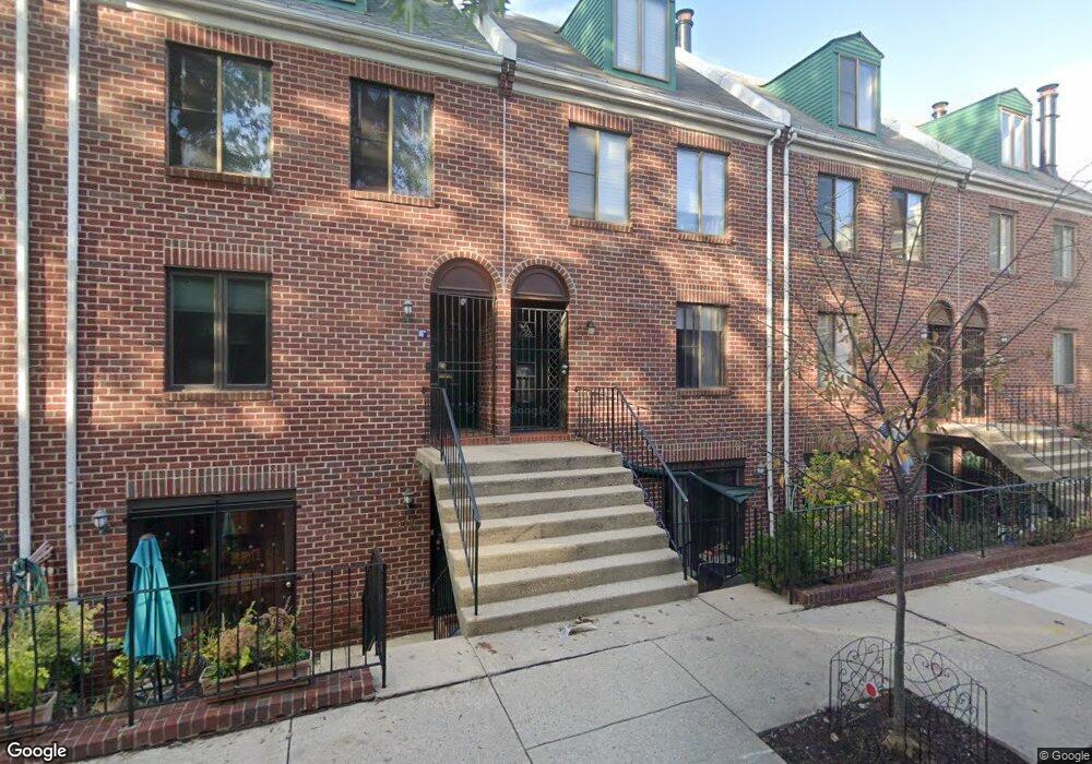
805 Addison St Unit A Philadelphia, PA 19147
Washington Square West NeighborhoodEstimated Value: $562,000 - $717,000
--
Bed
--
Bath
1,400
Sq Ft
$451/Sq Ft
Est. Value
About This Home
This home is located at 805 Addison St Unit A, Philadelphia, PA 19147 and is currently estimated at $630,884, approximately $450 per square foot. 805 Addison St Unit A is a home located in Philadelphia County with nearby schools including General George A McCall Public School, Benjamin Franklin High School, and Mastery Charter High School Lenfest Campus.
Ownership History
Date
Name
Owned For
Owner Type
Purchase Details
Closed on
Jul 11, 2003
Sold by
Chan Yuk Kuen
Bought by
Hoysa Matthew J
Current Estimated Value
Home Financials for this Owner
Home Financials are based on the most recent Mortgage that was taken out on this home.
Original Mortgage
$234,600
Interest Rate
4%
Mortgage Type
Purchase Money Mortgage
Create a Home Valuation Report for This Property
The Home Valuation Report is an in-depth analysis detailing your home's value as well as a comparison with similar homes in the area
Home Values in the Area
Average Home Value in this Area
Purchase History
| Date | Buyer | Sale Price | Title Company |
|---|---|---|---|
| Hoysa Matthew J | $293,250 | -- |
Source: Public Records
Mortgage History
| Date | Status | Borrower | Loan Amount |
|---|---|---|---|
| Previous Owner | Hoysa Matthew J | $234,600 | |
| Closed | Hoysa Matthew J | $29,300 |
Source: Public Records
Tax History Compared to Growth
Tax History
| Year | Tax Paid | Tax Assessment Tax Assessment Total Assessment is a certain percentage of the fair market value that is determined by local assessors to be the total taxable value of land and additions on the property. | Land | Improvement |
|---|---|---|---|---|
| 2025 | $7,002 | $525,200 | $78,700 | $446,500 |
| 2024 | $7,002 | $525,200 | $78,700 | $446,500 |
| 2023 | $7,002 | $500,200 | $75,000 | $425,200 |
| 2022 | $6,667 | $500,200 | $75,000 | $425,200 |
| 2021 | $6,667 | $0 | $0 | $0 |
| 2020 | $6,667 | $0 | $0 | $0 |
| 2019 | $6,291 | $0 | $0 | $0 |
| 2018 | $5,470 | $0 | $0 | $0 |
| 2017 | $5,470 | $0 | $0 | $0 |
| 2016 | $4,758 | $0 | $0 | $0 |
| 2015 | $4,555 | $0 | $0 | $0 |
| 2014 | -- | $339,900 | $33,990 | $305,910 |
| 2012 | -- | $35,168 | $4,055 | $31,113 |
Source: Public Records
Map
Nearby Homes
- 812 Lombard St Unit 31
- 718 Addison St Unit B
- 838 Lombard St Unit 40
- 639 Pine St
- 905 05 Clinton St Unit 4 F PH
- 814 South St Unit 2
- 908 10 Spruce St Unit 10
- 813 Kater St Unit B
- 621 Lombard St
- 914 Spruce St Unit 9
- 617 Pine St
- 910 Spruce St Unit 10
- 265 S 9th St Unit 1F
- 610 Pine St
- 737 Bainbridge St
- 825 Bainbridge St Unit 101
- 825 Bainbridge St Unit 203
- 925 Spruce St
- 622 S 7th St
- 623 25 Kater St
- 801 Addison St Unit A
- 801 Addison St Unit B
- 801 Addison St Unit B
- 801 Addison St
- 805 Addison St Unit B
- 809 Addison St Unit B
- 809 Addison St Unit A
- 802 Pine St Unit B
- 802 Pine St Unit A
- 802 Pine St
- 802 Pine St Unit A & B
- 800 Pine St Unit B
- 800 Pine St Unit A
- 804 Pine St Unit A
- 804 Pine St Unit B
- 806 Pine St Unit B
- 806 Pine St Unit A
- 806 Pine St Unit A & B
- 802 Addison St
- 808 Pine St Unit C