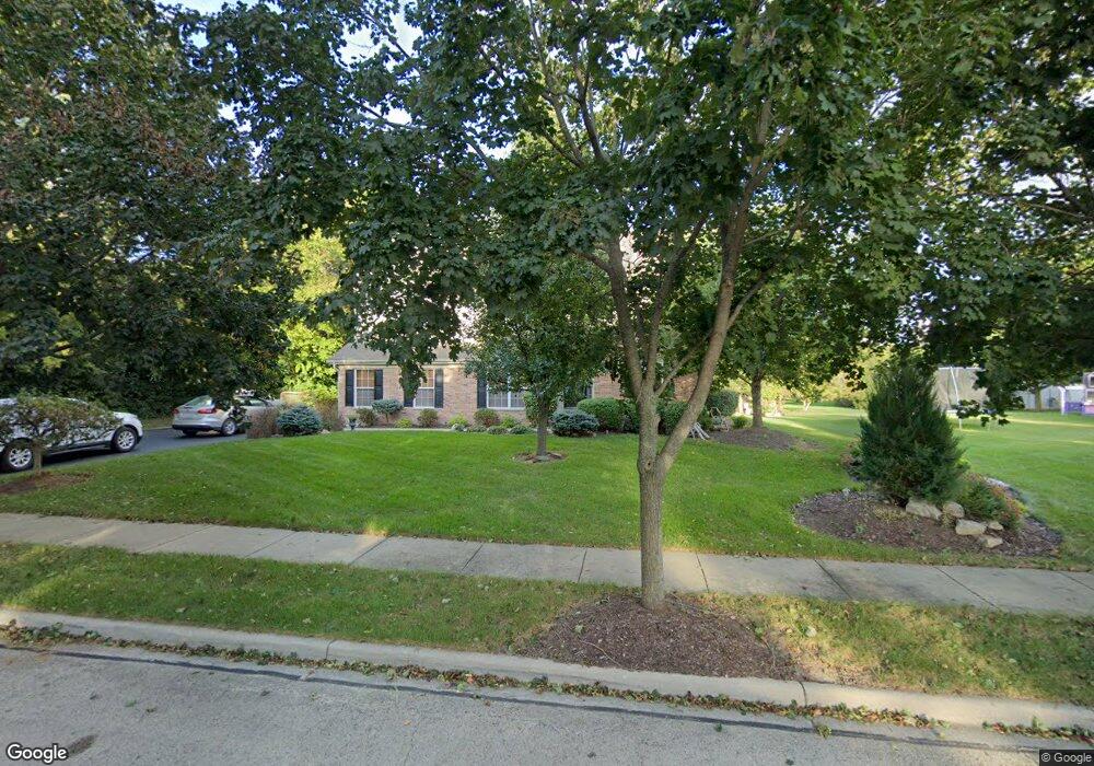
805 Autumn Hill West Dundee, IL 60118
Estimated Value: $481,138 - $555,000
4
Beds
--
Bath
2,946
Sq Ft
$177/Sq Ft
Est. Value
About This Home
This home is located at 805 Autumn Hill, West Dundee, IL 60118 and is currently estimated at $522,535, approximately $177 per square foot. 805 Autumn Hill is a home located in Kane County with nearby schools including Sleepy Hollow Elementary School, Dundee Middle School, and Dundee-Crown High School.
Ownership History
Date
Name
Owned For
Owner Type
Purchase Details
Closed on
Jun 13, 1997
Sold by
The Ryland Group Inc
Bought by
Kay Brian W and Kay Robin R
Current Estimated Value
Home Financials for this Owner
Home Financials are based on the most recent Mortgage that was taken out on this home.
Original Mortgage
$235,300
Outstanding Balance
$33,758
Interest Rate
8.01%
Estimated Equity
$488,777
Create a Home Valuation Report for This Property
The Home Valuation Report is an in-depth analysis detailing your home's value as well as a comparison with similar homes in the area
Home Values in the Area
Average Home Value in this Area
Purchase History
| Date | Buyer | Sale Price | Title Company |
|---|---|---|---|
| Kay Brian W | $294,500 | Ticor Title Insurance |
Source: Public Records
Mortgage History
| Date | Status | Borrower | Loan Amount |
|---|---|---|---|
| Open | Kay Brian W | $235,300 |
Source: Public Records
Tax History Compared to Growth
Tax History
| Year | Tax Paid | Tax Assessment Tax Assessment Total Assessment is a certain percentage of the fair market value that is determined by local assessors to be the total taxable value of land and additions on the property. | Land | Improvement |
|---|---|---|---|---|
| 2024 | $12,046 | $155,789 | $30,306 | $125,483 |
| 2023 | $11,311 | $140,173 | $27,268 | $112,905 |
| 2022 | $11,493 | $136,454 | $27,268 | $109,186 |
| 2021 | $11,100 | $128,839 | $25,746 | $103,093 |
| 2020 | $10,898 | $125,942 | $25,167 | $100,775 |
| 2019 | $10,556 | $119,557 | $23,891 | $95,666 |
| 2018 | $10,615 | $117,304 | $23,418 | $93,886 |
| 2017 | $11,176 | $120,558 | $24,816 | $95,742 |
| 2016 | $11,399 | $116,729 | $24,028 | $92,701 |
| 2015 | -- | $109,379 | $22,515 | $86,864 |
| 2014 | -- | $106,358 | $21,893 | $84,465 |
| 2013 | -- | $109,613 | $22,563 | $87,050 |
Source: Public Records
Map
Nearby Homes
- 1042 Chateau Bluff Ln
- 849 Hemlock Dr
- 37 River Ridge Dr
- 900 Holly Ct
- 842 Winmoor Dr
- 1214 Carol Crest Dr
- 0000 Strom Dr
- 937 Willow Ln
- 214 S 7th St
- 10 Chateau Dr
- 325 Sharon Dr
- 936 Glen Oak Dr
- 516 S 1st St
- 503 Edinburgh Ln
- 496 Edinburgh Ln
- 215 Sharon Dr
- 1715 W Main St
- 404 Washington St
- Lot 1 View St
- 825 Lindsay Ln
- 1144 Angle Tarn
- 1166 Angle Tarn
- 1078 Chateau Bluff Ln
- 1082 Chateau Bluff Ln
- 1128 Angle Tarn
- 802 Wintercrag
- 1072 Chateau Bluff Ln
- 816 Autumn Hill
- 1066 Chateau Bluff Ln
- 1084 Chateau Bluff Ln
- 1088 Chateau Bluff Ln
- 832 Autumn Hill
- 1086 Angle Tarn
- 1147 Angle Tarn
- 1165 Angle Tarn
- 833 Hemlock Dr
- 831 Hemlock Dr
- 1129 Angle Tarn
- LOT 14 Chateau Bluff
- LOT 12 Chateau Bluff Ln