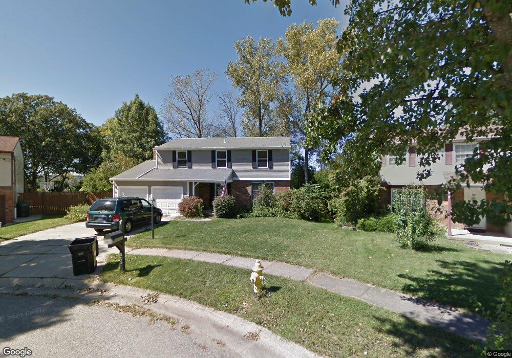
805 Bradford Ct Cincinnati, OH 45233
Estimated Value: $307,000 - $346,000
4
Beds
3
Baths
1,911
Sq Ft
$169/Sq Ft
Est. Value
About This Home
This home is located at 805 Bradford Ct, Cincinnati, OH 45233 and is currently estimated at $322,399, approximately $168 per square foot. 805 Bradford Ct is a home located in Hamilton County with nearby schools including Sayler Park Elementary School, Gilbert A. Dater High School, and Western Hills High School.
Ownership History
Date
Name
Owned For
Owner Type
Purchase Details
Closed on
Oct 17, 2003
Sold by
Kemen Harry John and Kemen Rose Marie
Bought by
Martini Jeffrey W and Martini Joann
Current Estimated Value
Home Financials for this Owner
Home Financials are based on the most recent Mortgage that was taken out on this home.
Original Mortgage
$184,000
Interest Rate
7.12%
Mortgage Type
Unknown
Create a Home Valuation Report for This Property
The Home Valuation Report is an in-depth analysis detailing your home's value as well as a comparison with similar homes in the area
Home Values in the Area
Average Home Value in this Area
Purchase History
| Date | Buyer | Sale Price | Title Company |
|---|---|---|---|
| Martini Jeffrey W | $184,000 | -- |
Source: Public Records
Mortgage History
| Date | Status | Borrower | Loan Amount |
|---|---|---|---|
| Closed | Martini Jeffrey W | $184,000 |
Source: Public Records
Tax History Compared to Growth
Tax History
| Year | Tax Paid | Tax Assessment Tax Assessment Total Assessment is a certain percentage of the fair market value that is determined by local assessors to be the total taxable value of land and additions on the property. | Land | Improvement |
|---|---|---|---|---|
| 2024 | $4,532 | $75,800 | $12,758 | $63,042 |
| 2023 | $4,634 | $75,800 | $12,758 | $63,042 |
| 2022 | $4,264 | $62,556 | $10,434 | $52,122 |
| 2021 | $4,110 | $62,556 | $10,434 | $52,122 |
| 2020 | $4,226 | $62,556 | $10,434 | $52,122 |
| 2019 | $4,054 | $54,874 | $9,153 | $45,721 |
| 2018 | $4,060 | $54,874 | $9,153 | $45,721 |
| 2017 | $3,860 | $54,874 | $9,153 | $45,721 |
| 2016 | $3,822 | $53,690 | $8,960 | $44,730 |
| 2015 | $3,446 | $53,690 | $8,960 | $44,730 |
| 2014 | $3,470 | $53,690 | $8,960 | $44,730 |
| 2013 | $3,496 | $53,159 | $8,873 | $44,286 |
Source: Public Records
Map
Nearby Homes
- 837 Martini Rd
- 133 Meridian St
- 127 Meridian St
- 6164 Hillside Ave
- 174 Twain Ave
- 6516 Parkland Ave
- 241 Monitor Ave
- 665 Fox Trails Way
- 6631 Home City Ave
- 400 Parkview Cir
- 6723 Daniels Walk
- 6604 River Rd
- 6725 Daniels Walk
- 6730 Daniels Walk
- 6713 Daniels Walk
- 6735 Home City Ave
- 524 Trison Dr
- 6811 Parkland Ave
- 6770 River Rd
- 6474 Simon Dr
- 801 Bradford Ct
- 809 Bradford Ct
- 813 Bradford Ct
- 800 Bradford Ct
- 804 Bradford Ct
- 817 Bradford Ct
- 808 Bradford Ct
- 816 Bradford Ct
- 812 Bradford Ct
- 821 Bradford Ct
- 825 Bradford Ct
- 822 Bradford Ct
- 829 Bradford Ct
- 828 Bradford Ct
- 833 Bradford Ct
- 834 Bradford Ct
- 837 Bradford Ct
- 6784 Kentford Ct
- 6792 Kentford Ct
- 6780 Kentford Ct