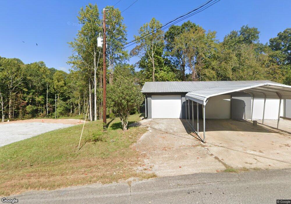
805 Cap Fry Rd Demorest, GA 30535
Estimated Value: $143,980
--
Bed
--
Bath
1,536
Sq Ft
$94/Sq Ft
Est. Value
About This Home
This home is located at 805 Cap Fry Rd, Demorest, GA 30535 and is currently estimated at $143,980, approximately $93 per square foot. 805 Cap Fry Rd is a home located in Habersham County with nearby schools including Demorest Elementary School, Wilbanks Middle School, and Habersham Success Academy.
Ownership History
Date
Name
Owned For
Owner Type
Purchase Details
Closed on
Sep 8, 2022
Sold by
Kellison Properties Llc
Bought by
Hutcheson Greg
Current Estimated Value
Purchase Details
Closed on
Feb 26, 2019
Sold by
Georgia Title Finance Llc
Bought by
Kellison Properties Llc
Purchase Details
Closed on
Sep 23, 2013
Sold by
Krayco Properties Inc
Bought by
Georgia Title Finance
Purchase Details
Closed on
Aug 8, 2013
Sold by
Mcdonald Douglas W
Bought by
Krayco Properties Inc
Purchase Details
Closed on
Feb 9, 2011
Sold by
Fry Desma D
Bought by
Fry Joseph Monroe
Create a Home Valuation Report for This Property
The Home Valuation Report is an in-depth analysis detailing your home's value as well as a comparison with similar homes in the area
Home Values in the Area
Average Home Value in this Area
Purchase History
| Date | Buyer | Sale Price | Title Company |
|---|---|---|---|
| Hutcheson Greg | $125,000 | -- | |
| Kellison Properties Llc | -- | -- | |
| Georgia Title Finance | -- | -- | |
| Krayco Properties Inc | $29,000 | -- | |
| Fry Joseph Monroe | -- | -- |
Source: Public Records
Tax History Compared to Growth
Tax History
| Year | Tax Paid | Tax Assessment Tax Assessment Total Assessment is a certain percentage of the fair market value that is determined by local assessors to be the total taxable value of land and additions on the property. | Land | Improvement |
|---|---|---|---|---|
| 2025 | $1,875 | $77,603 | $59,550 | $18,053 |
| 2024 | $1,211 | $46,676 | $30,864 | $15,812 |
| 2023 | $1,164 | $46,540 | $30,864 | $15,676 |
| 2022 | $957 | $36,704 | $27,504 | $9,200 |
| 2021 | $760 | $29,300 | $20,628 | $8,672 |
| 2020 | $669 | $24,856 | $17,192 | $7,664 |
| 2019 | $669 | $24,856 | $17,192 | $7,664 |
| 2018 | $664 | $24,856 | $17,192 | $7,664 |
| 2017 | $574 | $21,392 | $13,752 | $7,640 |
| 2016 | $558 | $53,480 | $13,752 | $7,640 |
| 2015 | $551 | $53,480 | $13,752 | $7,640 |
| 2014 | $594 | $56,570 | $13,752 | $8,876 |
| 2013 | -- | $23,748 | $13,752 | $9,996 |
Source: Public Records
Map
Nearby Homes
- 243 Charlie Batson Dr
- Plan 1709 at Habersham Meadows
- Plan 1902 at Habersham Meadows
- Plan 2604 at Habersham Meadows
- Plan 1602-2 at Habersham Meadows
- Plan 3119 at Habersham Meadows
- Plan 2628 at Habersham Meadows
- Plan 2131 at Habersham Meadows
- Plan 2100 at Habersham Meadows
- Plan 2408 at Habersham Meadows
- Plan 3105 at Habersham Meadows
- Plan 2121 at Habersham Meadows
- Plan 1643 at Habersham Meadows
- Plan 2307 at Habersham Meadows
- 536 Wauka Dr
- 544 Wauka Dr
- 189 Legacy Dr
- 445 Spiral Hills Dr
- 523 Wauka Dr
- 539 Wauka Dr
- 885 Cap Fry Dr
- 0 Demorest Courtyards Dr
- 273 Fisk Ave
- 810 Cap Fry Dr Unit A
- 810 Cap Fry Rd Unit 2
- 842 Cap Fry Rd
- 808 Cap Fry Dr Unit 1
- 808 Cap Fry Dr Unit 2
- 808 Cap Fry Dr Unit A
- 808 Cap Fry Rd Unit 1
- 0 Fisk Ave Unit 7191119
- 0 Fisk Ave Unit 7099139
- 0 Fisk Ave
- 842 Cap Fry Dr
- 250 Fisk Ave
- 275 Demorest Courtyards Dr
- 106 Demorest Courtyards Dr
- 742 Cap Fry Rd
- 110 Demorest Courtyards Dr
- 259 Demorest Courtyards Dr