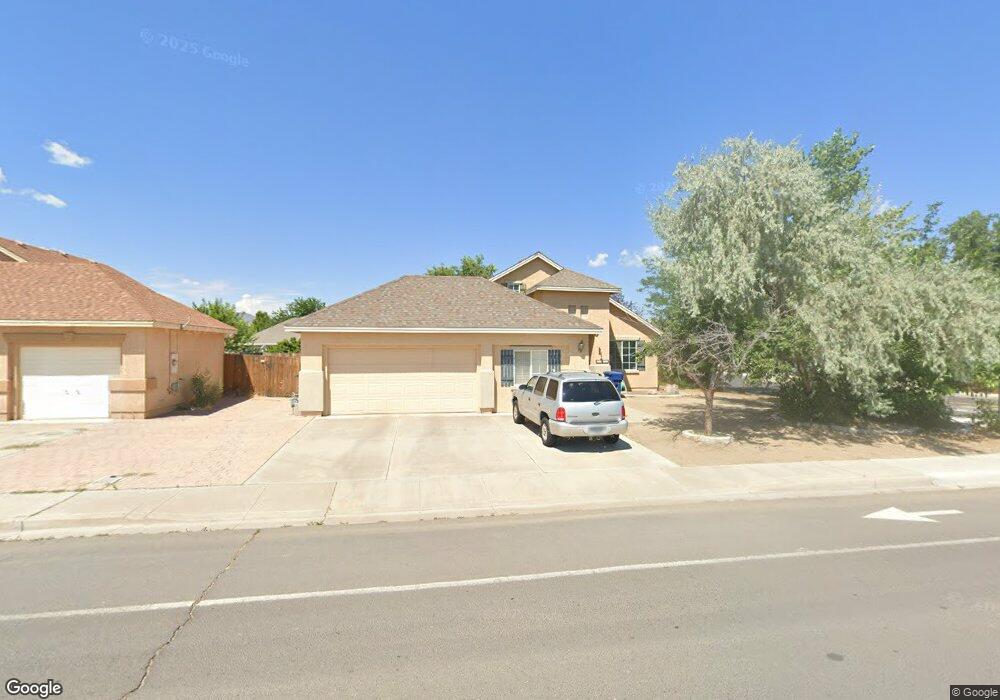
805 Hardie Ln Fernley, NV 89408
Estimated Value: $329,000 - $359,000
4
Beds
2
Baths
1,641
Sq Ft
$210/Sq Ft
Est. Value
About This Home
This home is located at 805 Hardie Ln, Fernley, NV 89408 and is currently estimated at $343,869, approximately $209 per square foot. 805 Hardie Ln is a home located in Lyon County with nearby schools including Fernley Elementary School, Fernley Intermediate School, and Fernley High School.
Ownership History
Date
Name
Owned For
Owner Type
Purchase Details
Closed on
Mar 10, 2020
Sold by
Henry Mary and Henry Dale Bernard
Bought by
Henry Dale Bernard
Current Estimated Value
Purchase Details
Closed on
Jun 1, 2017
Sold by
Henry Mary
Bought by
Henry Mary and Henry Dale Bernard
Purchase Details
Closed on
Nov 10, 2009
Sold by
Schooler Mary
Bought by
Henry Emmett E
Home Financials for this Owner
Home Financials are based on the most recent Mortgage that was taken out on this home.
Original Mortgage
$91,795
Outstanding Balance
$59,693
Interest Rate
4.92%
Mortgage Type
New Conventional
Estimated Equity
$284,176
Purchase Details
Closed on
Nov 6, 2009
Sold by
Hoeksema Edward W and Hoeksema Jolyn F
Bought by
Henry Emmett E
Home Financials for this Owner
Home Financials are based on the most recent Mortgage that was taken out on this home.
Original Mortgage
$91,795
Outstanding Balance
$59,693
Interest Rate
4.92%
Mortgage Type
New Conventional
Estimated Equity
$284,176
Create a Home Valuation Report for This Property
The Home Valuation Report is an in-depth analysis detailing your home's value as well as a comparison with similar homes in the area
Home Values in the Area
Average Home Value in this Area
Purchase History
| Date | Buyer | Sale Price | Title Company |
|---|---|---|---|
| Henry Dale Bernard | -- | None Available | |
| Henry Mary | -- | None Available | |
| Henry Emmett E | -- | Title Service & Escrow Co | |
| Henry Emmett E | $90,000 | Title Service & Escrow Co |
Source: Public Records
Mortgage History
| Date | Status | Borrower | Loan Amount |
|---|---|---|---|
| Open | Henry Emmett E | $91,795 |
Source: Public Records
Tax History Compared to Growth
Tax History
| Year | Tax Paid | Tax Assessment Tax Assessment Total Assessment is a certain percentage of the fair market value that is determined by local assessors to be the total taxable value of land and additions on the property. | Land | Improvement |
|---|---|---|---|---|
| 2025 | $1,293 | $72,438 | $26,250 | $46,188 |
| 2024 | $1,665 | $72,869 | $26,250 | $46,618 |
| 2023 | $1,665 | $70,095 | $26,250 | $43,845 |
| 2022 | $1,581 | $66,717 | $26,250 | $40,467 |
| 2021 | $1,572 | $65,816 | $26,250 | $39,566 |
| 2020 | $1,533 | $64,332 | $26,250 | $38,082 |
| 2019 | $1,517 | $48,434 | $11,550 | $36,884 |
| 2018 | $1,488 | $46,606 | $10,500 | $36,106 |
| 2017 | $1,490 | $44,597 | $8,400 | $36,197 |
| 2016 | $1,307 | $37,342 | $5,780 | $31,562 |
| 2015 | $1,342 | $37,086 | $5,780 | $31,306 |
| 2014 | $1,314 | $31,034 | $5,780 | $25,254 |
Source: Public Records
Map
Nearby Homes
- 807 Hardie Ln
- 201 Jason Ct
- 203 Jason Ct Unit 1
- 98 Rachel St
- 100 Rachel St
- 205 Jason Ct
- 102 Rachel St
- 401 Sunshine Ln
- 403 Sunshine Ln
- 104 Rachel St
- 405 Sunshine Ln
- 209 Jason Ct
- 207 Jason Ct
- 407 Sunshine Ln
- 106 Rachel St Unit 1
- 409 Sunshine Ln
- 320 Marshall St
- 905 Hardie Lane Par B2
- 318 Marshall St
- 108 Rachel St