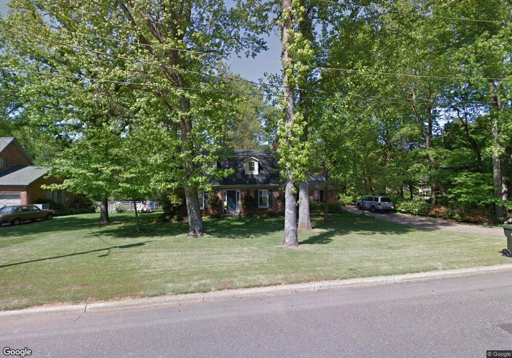
805 Hillside Dr Kings Mountain, NC 28086
Estimated Value: $377,347 - $475,000
3
Beds
3
Baths
2,311
Sq Ft
$178/Sq Ft
Est. Value
About This Home
This home is located at 805 Hillside Dr, Kings Mountain, NC 28086 and is currently estimated at $411,587, approximately $178 per square foot. 805 Hillside Dr is a home located in Cleveland County with nearby schools including West Elementary School, Kings Mountain Middle, and Kings Mountain Intermediate School.
Ownership History
Date
Name
Owned For
Owner Type
Purchase Details
Closed on
Sep 10, 2018
Sold by
Hollifield Thomas R and Hollifield Tina M
Bought by
Parsons Jason B and Parsons Misti R
Current Estimated Value
Home Financials for this Owner
Home Financials are based on the most recent Mortgage that was taken out on this home.
Original Mortgage
$150,000
Outstanding Balance
$111,924
Interest Rate
4.5%
Mortgage Type
New Conventional
Estimated Equity
$299,663
Create a Home Valuation Report for This Property
The Home Valuation Report is an in-depth analysis detailing your home's value as well as a comparison with similar homes in the area
Home Values in the Area
Average Home Value in this Area
Purchase History
| Date | Buyer | Sale Price | Title Company |
|---|---|---|---|
| Parsons Jason B | $220,000 | None Available |
Source: Public Records
Mortgage History
| Date | Status | Borrower | Loan Amount |
|---|---|---|---|
| Open | Parsons Jason B | $150,000 |
Source: Public Records
Tax History Compared to Growth
Tax History
| Year | Tax Paid | Tax Assessment Tax Assessment Total Assessment is a certain percentage of the fair market value that is determined by local assessors to be the total taxable value of land and additions on the property. | Land | Improvement |
|---|---|---|---|---|
| 2025 | $3,109 | $303,335 | $29,137 | $274,198 |
| 2024 | $2,785 | $236,380 | $29,137 | $207,243 |
| 2023 | $2,771 | $236,380 | $29,137 | $207,243 |
| 2022 | $2,216 | $197,074 | $29,137 | $167,937 |
| 2021 | $2,227 | $197,074 | $29,137 | $167,937 |
| 2020 | $1,838 | $157,897 | $24,941 | $132,956 |
| 2019 | $1,838 | $157,897 | $24,941 | $132,956 |
| 2018 | $1,837 | $157,897 | $24,941 | $132,956 |
| 2017 | $1,827 | $157,897 | $24,941 | $132,956 |
| 2016 | $1,834 | $157,897 | $24,941 | $132,956 |
| 2015 | $1,864 | $164,798 | $23,310 | $141,488 |
| 2014 | $1,864 | $164,798 | $23,310 | $141,488 |
Source: Public Records
Map
Nearby Homes
- 400 S Cansler St
- 811 W Gold St Unit 26
- 316 S Cansler St
- 411 S Battleground Ave
- 112 Fulton Dr
- 417 Phifer Rd
- 442 Phifer Rd
- 106 N Tracy St
- 430 Fulton Dr
- 200 E Gold St
- 804 Lee St
- 300 N Watterson St
- 208 Victoria Cir
- 0 Southridge Dr Unit CAR4298120
- 1301 Shelby Rd
- 310 Campbell Cir
- 110 N Gaston St
- 245 Paige Rd
- 710 York Rd
- 207 Morris St
- 803 Hillside Dr
- 807 Hillside Dr
- 715 Meadowbrook Rd
- 801 Hillside Dr
- 713 Meadowbrook Rd
- 717 Meadowbrook Rd
- 809 Hillside Dr
- 804 Hillside Dr
- 711 Meadowbrook Rd
- 806 Hillside Dr
- 800 Hillside Dr
- 709 Meadowbrook Rd
- 701 Meadowbrook Rd
- 808 Hillside Dr
- 811 Hillside Dr
- 801 Meadowbrook Rd
- 801 Hermitage Ct
- 716 Meadowbrook Rd
- 707 Hillside Dr
- 714 Meadowbrook Rd