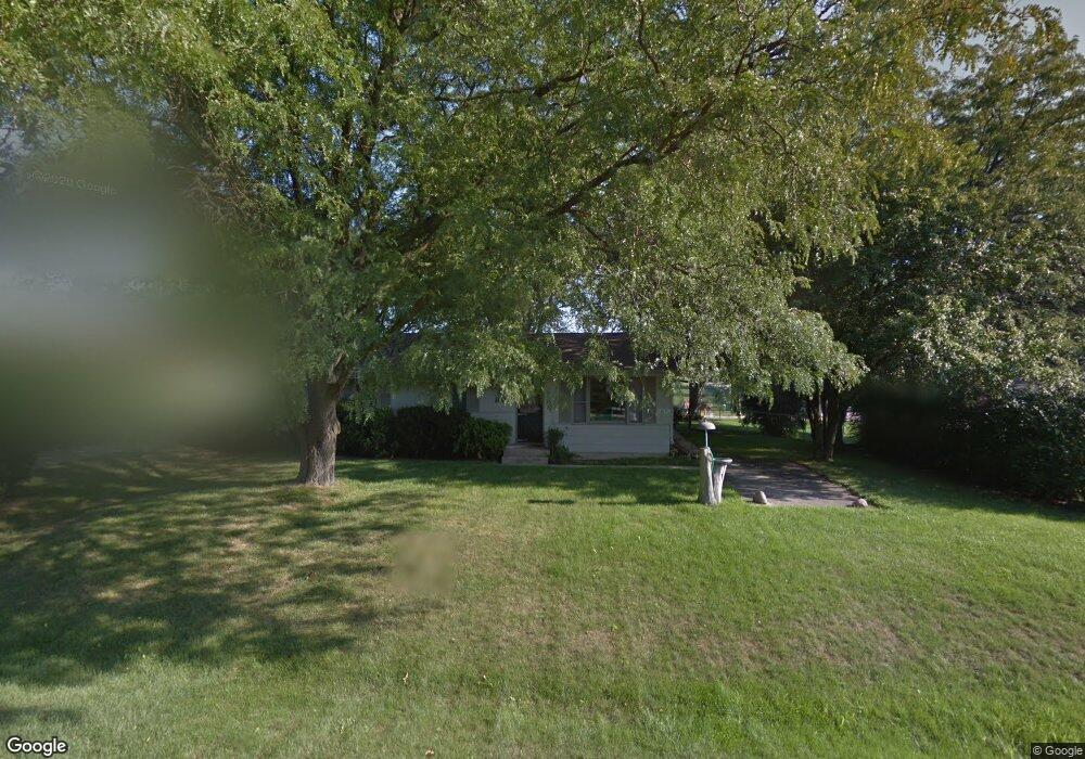
805 Iroquois Ave Rockford, IL 61102
Estimated Value: $93,000 - $184,000
2
Beds
1
Bath
1,040
Sq Ft
$114/Sq Ft
Est. Value
About This Home
This home is located at 805 Iroquois Ave, Rockford, IL 61102 and is currently estimated at $118,813, approximately $114 per square foot. 805 Iroquois Ave is a home located in Winnebago County with nearby schools including Julia Lathrop Elementary School, Rockford Environmental Science Academy, and Jefferson High School.
Ownership History
Date
Name
Owned For
Owner Type
Purchase Details
Closed on
Aug 29, 2025
Sold by
Hawkins Charles T and Hawkins Allison H
Bought by
Bocker Joey
Current Estimated Value
Home Financials for this Owner
Home Financials are based on the most recent Mortgage that was taken out on this home.
Original Mortgage
$179,193
Outstanding Balance
$179,193
Interest Rate
6.5%
Mortgage Type
FHA
Estimated Equity
-$60,380
Purchase Details
Closed on
Apr 17, 2025
Sold by
Westbrook Gerald and Westbrook Patricia
Bought by
Hawkins Charles T and Hawkins Allison H
Create a Home Valuation Report for This Property
The Home Valuation Report is an in-depth analysis detailing your home's value as well as a comparison with similar homes in the area
Home Values in the Area
Average Home Value in this Area
Purchase History
| Date | Buyer | Sale Price | Title Company |
|---|---|---|---|
| Bocker Joey | $182,500 | None Listed On Document | |
| Hawkins Charles T | $85,000 | None Listed On Document |
Source: Public Records
Mortgage History
| Date | Status | Borrower | Loan Amount |
|---|---|---|---|
| Open | Bocker Joey | $179,193 |
Source: Public Records
Tax History Compared to Growth
Tax History
| Year | Tax Paid | Tax Assessment Tax Assessment Total Assessment is a certain percentage of the fair market value that is determined by local assessors to be the total taxable value of land and additions on the property. | Land | Improvement |
|---|---|---|---|---|
| 2024 | $2,322 | $35,317 | $2,158 | $33,159 |
| 2023 | $2,162 | $31,141 | $1,903 | $29,238 |
| 2022 | $2,171 | $29,072 | $1,700 | $27,372 |
| 2021 | $2,078 | $26,657 | $1,559 | $25,098 |
| 2020 | $1,938 | $25,201 | $1,474 | $23,727 |
| 2019 | $1,892 | $24,019 | $1,405 | $22,614 |
| 2018 | $1,834 | $22,637 | $1,325 | $21,312 |
| 2017 | $1,815 | $21,664 | $1,268 | $20,396 |
| 2016 | $1,797 | $21,258 | $1,244 | $20,014 |
| 2015 | $1,813 | $21,258 | $1,244 | $20,014 |
| 2014 | $1,955 | $22,536 | $1,552 | $20,984 |
Source: Public Records
Map
Nearby Homes
- 3341 Cornelia Ave
- 1301 Linda Ave
- 4680 S Main St
- 2530 S Main St
- 335 Blackhawk Ave
- 24XX S Main Lot 2 St
- 4776 Marble Manor
- 4784 Jade Pkwy
- 23XX S Main Lot 1 St
- 2205 Clover Ave
- 1523 Michigan Ave
- 1800 Schiro St
- 528 Indiana Ave
- 2694 Alfalfa Dr
- 5583 Wheat Dr
- 803 Island Ave
- 130 Broadway
- 144 Broadway
- 1009 Island Ave
- 813 Iroquois Ave
- 731 Iroquois Ave
- 804 Iroquois Ave
- 817 Iroquois Ave
- 808 Iroquois Ave
- 812 Iroquois Ave
- 821 Iroquois Ave
- 816 Iroquois Ave
- 723 Iroquois Ave
- 820 Iroquois Ave
- 3476 S Central Ave
- 903 Iroquois Ave
- 719 Iroquois Ave
- 902 Iroquois Ave
- 907 Iroquois Ave
- 715 Iroquois Ave
- 906 Iroquois Ave
- 911 Iroquois Ave
- 711 Iroquois Ave
- 712 Iroquois Ave