805 Lake Mist Dr Woodstock, GA 30188
Union Hill NeighborhoodEstimated Value: $482,000 - $505,175
4
Beds
3
Baths
2,958
Sq Ft
$167/Sq Ft
Est. Value
About This Home
This home is located at 805 Lake Mist Dr, Woodstock, GA 30188 and is currently estimated at $493,588, approximately $166 per square foot. 805 Lake Mist Dr is a home located in Cherokee County with nearby schools including Mountain Road Elementary School, Rusk Middle School, and Sequoyah High School.
Ownership History
Date
Name
Owned For
Owner Type
Purchase Details
Closed on
Apr 15, 1997
Sold by
Farr Julie J and Farr Barry E
Bought by
Mcclure James C
Current Estimated Value
Home Financials for this Owner
Home Financials are based on the most recent Mortgage that was taken out on this home.
Original Mortgage
$154,850
Outstanding Balance
$18,978
Interest Rate
7.86%
Mortgage Type
New Conventional
Estimated Equity
$474,610
Create a Home Valuation Report for This Property
The Home Valuation Report is an in-depth analysis detailing your home's value as well as a comparison with similar homes in the area
Home Values in the Area
Average Home Value in this Area
Purchase History
| Date | Buyer | Sale Price | Title Company |
|---|---|---|---|
| Mcclure James C | $163,000 | -- |
Source: Public Records
Mortgage History
| Date | Status | Borrower | Loan Amount |
|---|---|---|---|
| Open | Mcclure James C | $154,850 |
Source: Public Records
Tax History Compared to Growth
Tax History
| Year | Tax Paid | Tax Assessment Tax Assessment Total Assessment is a certain percentage of the fair market value that is determined by local assessors to be the total taxable value of land and additions on the property. | Land | Improvement |
|---|---|---|---|---|
| 2025 | $4,461 | $169,856 | $44,000 | $125,856 |
| 2024 | $4,374 | $168,296 | $44,000 | $124,296 |
| 2023 | $4,403 | $169,416 | $44,000 | $125,416 |
| 2022 | $3,461 | $131,696 | $26,000 | $105,696 |
| 2021 | $3,507 | $123,544 | $26,000 | $97,544 |
| 2020 | $3,307 | $116,392 | $26,000 | $90,392 |
| 2019 | $3,230 | $113,680 | $26,000 | $87,680 |
| 2018 | $3,019 | $105,600 | $26,000 | $79,600 |
| 2017 | $2,946 | $255,600 | $26,000 | $76,240 |
| 2016 | $2,645 | $227,100 | $21,600 | $69,240 |
| 2015 | $2,610 | $221,900 | $21,600 | $67,160 |
| 2014 | $2,429 | $206,100 | $19,200 | $63,240 |
Source: Public Records
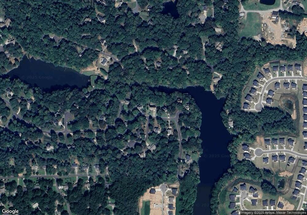
Map
Nearby Homes
- 1188 Ridgeview Rd
- 1168 Ridgeview Rd
- 7052 Foundry Dr
- 1043 Ridgeview Rd
- 1039 Ridgeview Rd
- Payton Plan at Holly Farm - Highlands
- Monteluce Plan at Holly Farm - Highlands
- Antioch Plan at Holly Farm - Highlands
- Roswell Plan at Holly Farm - Highlands
- Hedgerow Plan at Holly Farm - Highlands
- Hendricks Plan at Holly Farm - Highlands
- 4002 Tallow Place
- 136 Plantation Trace
- 528 River Lakeside Ln
- 13795 Arnold Mill Rd
- 4297 Earney Rd
- 214 Kingsley Way
- 239 Aberdeen Way
- 234 Aberdeen Way
- 1411 Silver Fox Run
- 807 Lake Mist Dr
- 803 Lake Mist Dr
- 901 Crabapple Ct
- 809 Lake Mist Dr
- 902 Crabapple Ct Unit 3
- 806 Lake Mist Dr
- 806 Lake Mist Dr Unit 107
- 802 Lake Mist Dr Unit 3
- 170 Plantation Trace
- 811 Lake Mist Dr
- 808 Lake Mist Dr
- 903 Crabapple Ct
- 176 Plantation Trace
- 178 Plantation Trace
- 1001 Crabtree Close
- 1004 Crabtree Close
- 167 Plantation Trace Unit 3
- 904 Crabapple Ct
- 174 Plantation Trace
- 180 Plantation Trace