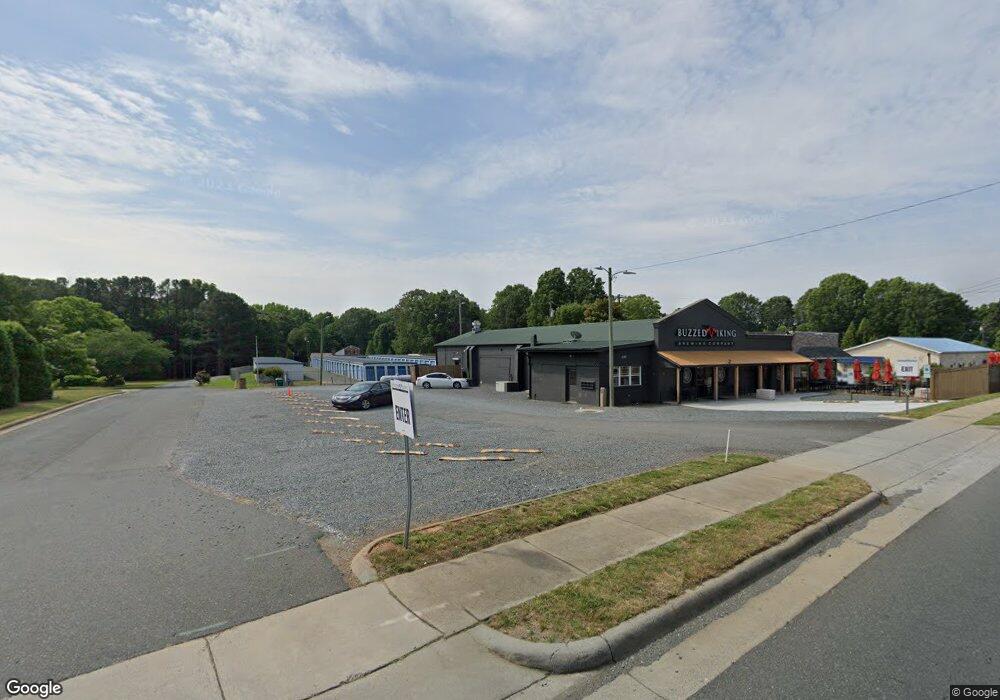
805 Main St W Locust, NC 28097
Studio
2
Baths
5,308
Sq Ft
13,068
Sq Ft Lot
About This Home
This home is located at 805 Main St W, Locust, NC 28097. 805 Main St W is a home located in Stanly County with nearby schools including Locust Elementary School, West Stanly Middle School, and West Stanly High School.
Ownership History
Date
Name
Owned For
Owner Type
Purchase Details
Closed on
Sep 24, 2025
Sold by
Mr Storage Llc
Bought by
Prisco George
Home Financials for this Owner
Home Financials are based on the most recent Mortgage that was taken out on this home.
Original Mortgage
$600,000
Outstanding Balance
$597,846
Interest Rate
6.58%
Mortgage Type
New Conventional
Purchase Details
Closed on
May 18, 2022
Sold by
Jeremiah 2911 Llc
Bought by
Mr Storage Llc
Purchase Details
Closed on
Jan 1, 2012
Bought by
Ginpark Properties Llc
Purchase Details
Closed on
Aug 1, 2011
Sold by
Barbee Bobby Harold and Barbee Jacqueline P
Bought by
Ginpark Properties Llc
Home Financials for this Owner
Home Financials are based on the most recent Mortgage that was taken out on this home.
Original Mortgage
$180,000
Interest Rate
4.52%
Mortgage Type
Future Advance Clause Open End Mortgage
Create a Home Valuation Report for This Property
The Home Valuation Report is an in-depth analysis detailing your home's value as well as a comparison with similar homes in the area
Home Values in the Area
Average Home Value in this Area
Purchase History
| Date | Buyer | Sale Price | Title Company |
|---|---|---|---|
| Prisco George | $810,000 | None Listed On Document | |
| Mr Storage Llc | $475,000 | -- | |
| Ginpark Properties Llc | -- | -- | |
| Ginpark Properties Llc | $225,000 | None Available |
Source: Public Records
Mortgage History
| Date | Status | Borrower | Loan Amount |
|---|---|---|---|
| Open | Prisco George | $600,000 | |
| Previous Owner | Ginpark Properties Llc | $180,000 |
Source: Public Records
Tax History
| Year | Tax Paid | Tax Assessment Tax Assessment Total Assessment is a certain percentage of the fair market value that is determined by local assessors to be the total taxable value of land and additions on the property. | Land | Improvement |
|---|---|---|---|---|
| 2025 | $4,493 | $488,401 | $163,800 | $324,601 |
| 2024 | $4,277 | $392,374 | $120,120 | $272,254 |
| 2023 | $4,758 | $425,491 | $120,120 | $305,371 |
| 2022 | $4,148 | $372,930 | $120,120 | $252,810 |
| 2021 | $4,110 | $372,930 | $120,120 | $252,810 |
| 2020 | $3,599 | $311,125 | $103,740 | $207,385 |
| 2019 | $3,075 | $261,463 | $103,740 | $157,723 |
| 2018 | $2,955 | $261,463 | $103,740 | $157,723 |
| 2017 | $2,955 | $261,463 | $103,740 | $157,723 |
| 2016 | $2,613 | $231,270 | $92,820 | $138,450 |
| 2015 | $2,724 | $231,270 | $92,820 | $138,450 |
| 2014 | $2,483 | $231,270 | $92,820 | $138,450 |
Source: Public Records
Map
Nearby Homes
- 211 Drive Inn Rd
- 169 Abigail Ln
- 402 Church St
- TBD Simpson Rd
- 240 Ella Dr
- Lot 1 Meadow Creek Church Rd Unit 1
- 417 Kiser Ln
- 207 Kerri Dawn Ln
- 206 Montclair Dr
- 617 Ardsley Dr
- 716 Saddlebred Ln
- 744 Saddlebred Ln
- 421 Carolina Hemlock Dr
- 306 Old Hickory Rd
- 219 Kerri Dawn Ln
- 288 Harrison Ln
- 202 Jenkins St
- 107 Oakgrove St
- 216 Smith St
- 166 Battery Dr
Your Personal Tour Guide
Ask me questions while you tour the home.